This page is not an official page of the app or its developer, but an independent editorial publication created for informational and commentary purposes. Unless expressly stated otherwise, neither the app nor its developer is affiliated with, endorsed by, sponsored by, authorized by, or otherwise officially connected with MWM, Apple, Google Play, the app publisher, or the app's developer, and nothing on this page implies that the app was developed using MWM's services. Any trademarks, logos, screenshots, and other content remain the property of their respective owners.

BatchGeo
The powerful companion for field professionals. Access your custom maps, visualize territory data, and find nearby leads instantly on your iPhone or iPad.
Downloads
124K+User Rating
Total Ratings
200Publisher
Category
NavigationLocales
1Latest Version
4.0.8Size
0.9 MBFirst Released
Feb 20, 2012Visualize Your Data, Optimize Your Day
Transform complex spreadsheets into interactive mobile maps. BatchGeo gives your field team the spatial context needed to make smarter decisions on the go.
Proximity-Based Discovery
Instantly spot high-priority leads near your current GPS location to maximize every sales trip.
Power Filtering in Your Pocket
Slice through thousands of data points with ease. View only the clients or assets relevant to your current task.
The following screenshots and description are sourced directly from the app's official store listing and are the property of the app developer.
App Store
Screenshots
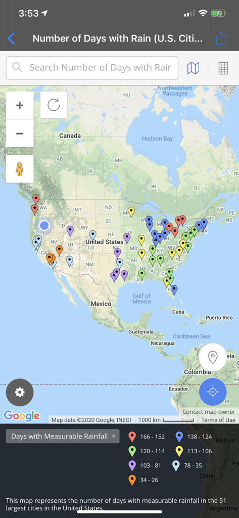
BatchGeo mobile app displaying a map of the United States with color coded data pins.
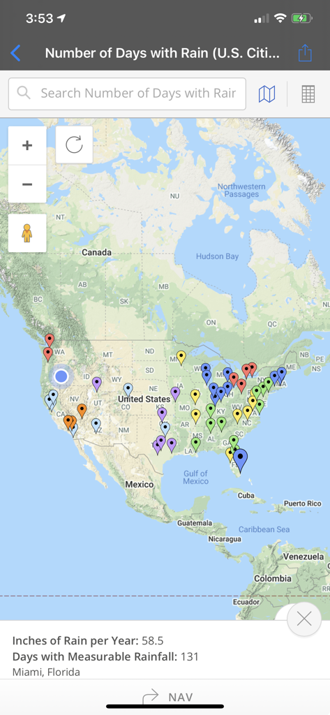
A map of the United States in the BatchGeo app showing colored markers for rainfall data with details for Miami Florida
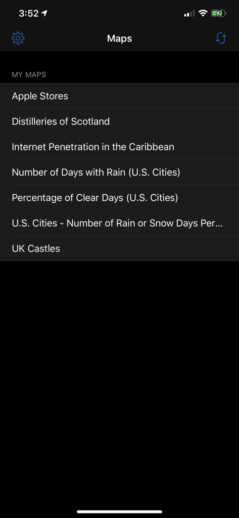
A list of saved custom maps within the BatchGeo iOS app interface
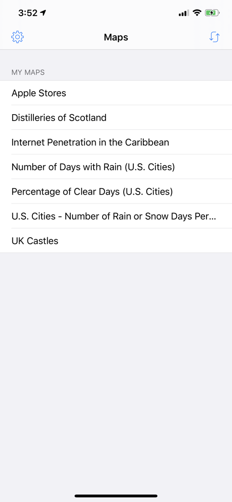
A list of saved custom maps in the BatchGeo mobile app interface
Description
Download
More Like This
Apps with similar features and user experience

Brivo Mobile Pass
Brivo Inc.

Titan Email: Contacts,Calendar
Flock FZ-LLC

Tableau Mobile
Tableau Software, LLC

Teachable online courses
Teachable Inc.

Liquid UI Client for SAP
Synactive

Garoon
Cybozu, Inc.

NZBClient for NZBGet
Digital Tools Ltd

Aruba PEC
Aruba S.p.A.

Purple Mash Browser
2 Simple Limited
This page is not an official page of the app or its developer, but an independent editorial publication created for informational and commentary purposes. Unless expressly stated otherwise, neither the app nor its developer is affiliated with, endorsed by, sponsored by, authorized by, or otherwise officially connected with MWM, Apple, Google Play, the app publisher, or the app's developer, and nothing on this page implies that the app was developed using MWM's services. Any trademarks, logos, screenshots, and other content remain the property of their respective owners.