This page is not an official page of the app or its developer, but an independent editorial publication created for informational and commentary purposes. Unless expressly stated otherwise, neither the app nor its developer is affiliated with, endorsed by, sponsored by, authorized by, or otherwise officially connected with MWM, Apple, Google Play, the app publisher, or the app's developer, and nothing on this page implies that the app was developed using MWM's services. Any trademarks, logos, screenshots, and other content remain the property of their respective owners.

BigBlue Offshore Fishing
Stop burning fuel in dead water. Get the competitive edge with real-time SST, chlorophyll scans, and high-resolution bathymetry—all with 100% offline capability for the deep blue.
Downloads
41K+User Rating
Total Ratings
0Publisher
Category
WeatherLocales
1Latest Version
3.0.6Size
69.1 MBFirst Released
Apr 13, 2023The Science of the Catch
Stop burning fuel in dead water. BigBlue puts professional-grade satellite scans and habitat intelligence in your pocket so you can find the bite faster.
Precision Satellite Scans
Access 9 daily SST and Chlorophyll updates to pinpoint temperature breaks and nutrient-rich edges where big game fish congregate.
Zero Signal, No Problem
Built for the deep. Cache your high-resolution charts on Wi-Fi and navigate with full GPS precision 100+ miles offshore without cell service.
The following screenshots and description are sourced directly from the app's official store listing and are the property of the app developer.
App Store
Screenshots
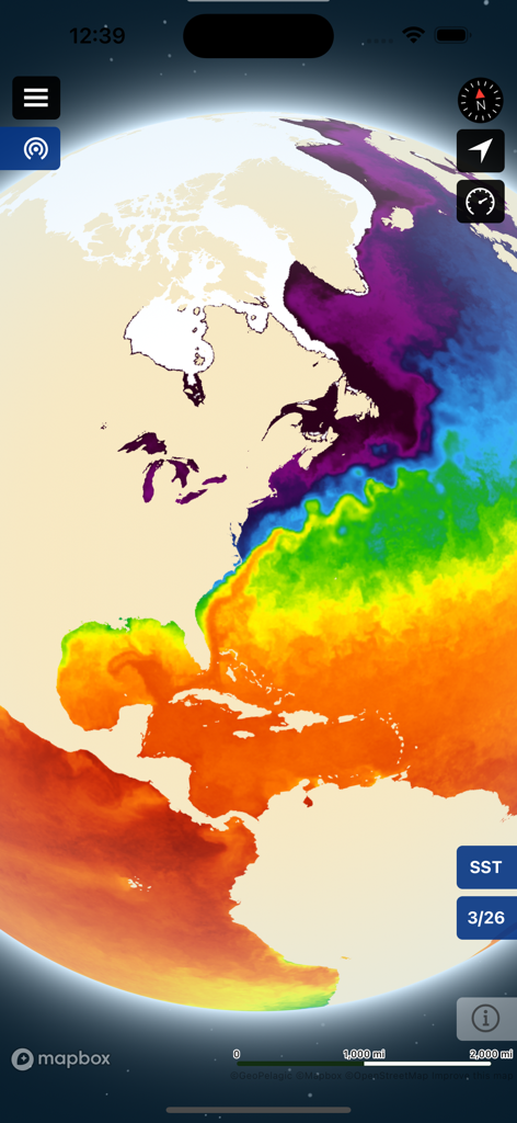
Sea surface temperature heat map of the Atlantic Ocean on BigBlue Offshore Fishing app
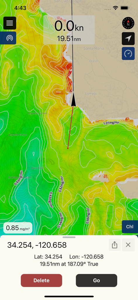
BigBlue app navigation map showing chlorophyll concentration data and waypoint coordinates for offshore fishing
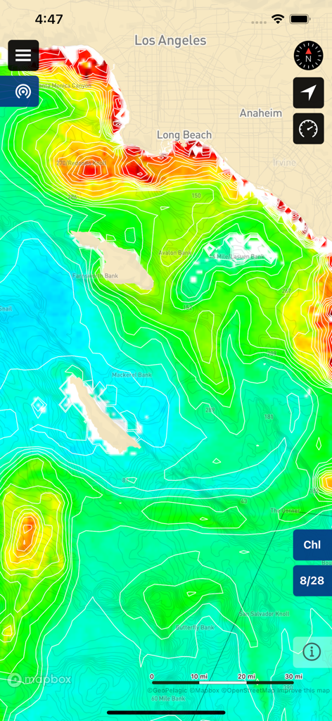
BigBlue app showing a chlorophyll concentration chart and bathymetry map of the Los Angeles coast
A satellite chlorophyll map overlay on the BigBlue app showing ocean conditions for offshore fishing.
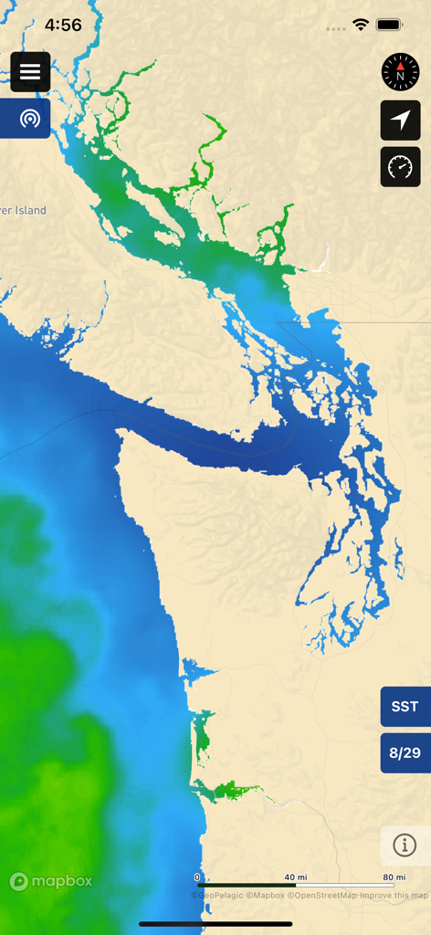
BigBlue app interface displaying sea surface temperature SST satellite data on a coastal map for offshore fishing.
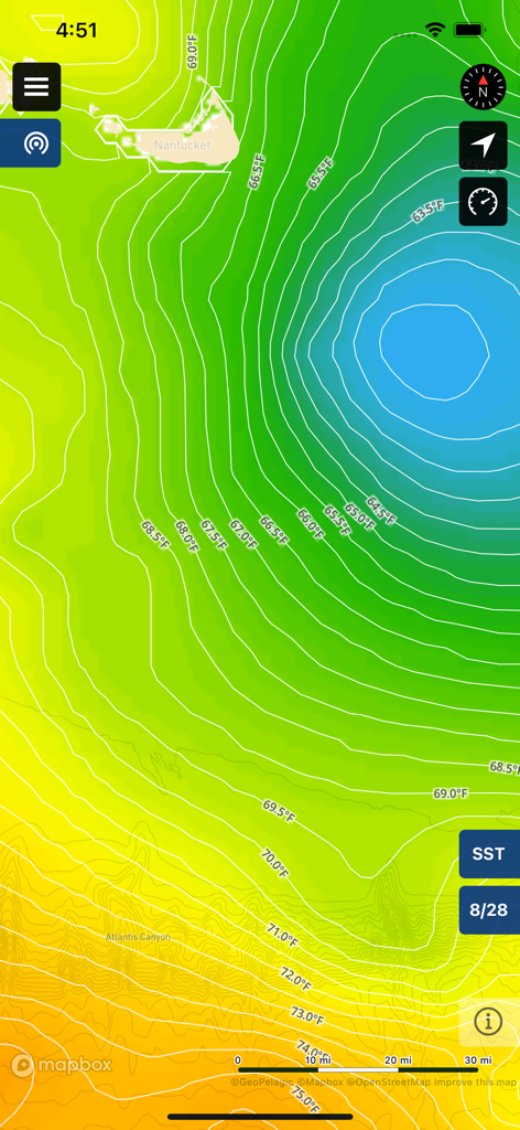
Sea surface temperature map showing thermal breaks and temperature contours in Fahrenheit for offshore fishing
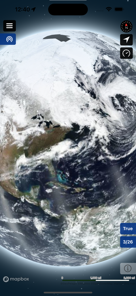
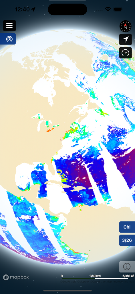
True color satellite imagery of the Earth on the BigBlue offshore fishing app.
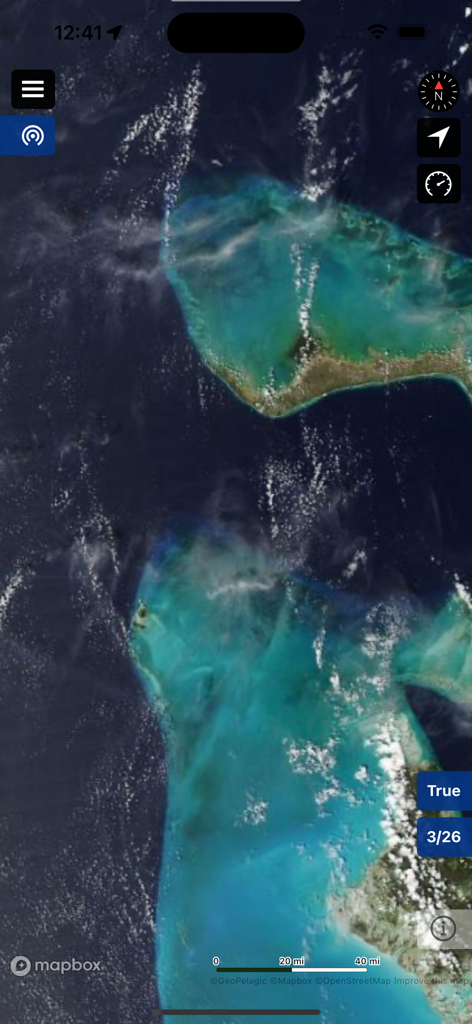
Satellite map view showing true color ocean imagery in the BigBlue Offshore Fishing app.
Description
Download
More Like This
Apps with similar features and user experience

FishAngler - Fish Finder App
FishAngler, LLC

钓鱼天气预报
Hefei Sasha Technology Co., Ltd.

潮汐表-潮汐天气预报&钓鱼潮汐天气工具助手
荣虎 太

Fishbrain - Fishing App
FishBrain AB

Fishing Points: Map & Forecast
Fishing Points d.o.o.

onX Fish: Midwest Lake Finder
onXmaps, Inc.

Fishbox - Smart Fishing App
MEMS Group, Inc.

釣果記録FishRanker-フィッシュランカー,釣り,分析
SIIG Inc.

Fish Deeper - Fishing App
Deeper UAB
This page is not an official page of the app or its developer, but an independent editorial publication created for informational and commentary purposes. Unless expressly stated otherwise, neither the app nor its developer is affiliated with, endorsed by, sponsored by, authorized by, or otherwise officially connected with MWM, Apple, Google Play, the app publisher, or the app's developer, and nothing on this page implies that the app was developed using MWM's services. Any trademarks, logos, screenshots, and other content remain the property of their respective owners.