This page is not an official page of the app or its developer, but an independent editorial publication created for informational and commentary purposes. Unless expressly stated otherwise, neither the app nor its developer is affiliated with, endorsed by, sponsored by, authorized by, or otherwise officially connected with MWM, Apple, Google Play, the app publisher, or the app's developer, and nothing on this page implies that the app was developed using MWM's services. Any trademarks, logos, screenshots, and other content remain the property of their respective owners.

Bruce Trail App
Navigate the Niagara Escarpment with confidence using official offline maps and real-time updates. Plan your route, track your progress, and support trail conservation with every step of your journey.
Downloads
13K+User Rating
Total Ratings
200Publisher
Category
LifestyleLocales
1Latest Version
2.5Size
28.5 MBFirst Released
Nov 1, 2021Navigate Every Mile with Confidence
The official guide to Canada's most iconic footpath, featuring real-time updates and expert tools designed for every step of your journey.
Official Offline Maps
Access 42 expert-curated maps without cell service. Receive live route updates direct from the Conservancy for total peace of mind.
Precision Trip Planning
Effortlessly find parking, camping sites, and trailheads. Use the route-measuring tool to plan your daily mileage and logistics with ease.
The following screenshots and description are sourced directly from the app's official store listing and are the property of the app developer.
App Store
Screenshots

Welcome screen of the Bruce Trail App showing a hiker in a forest with tall trees
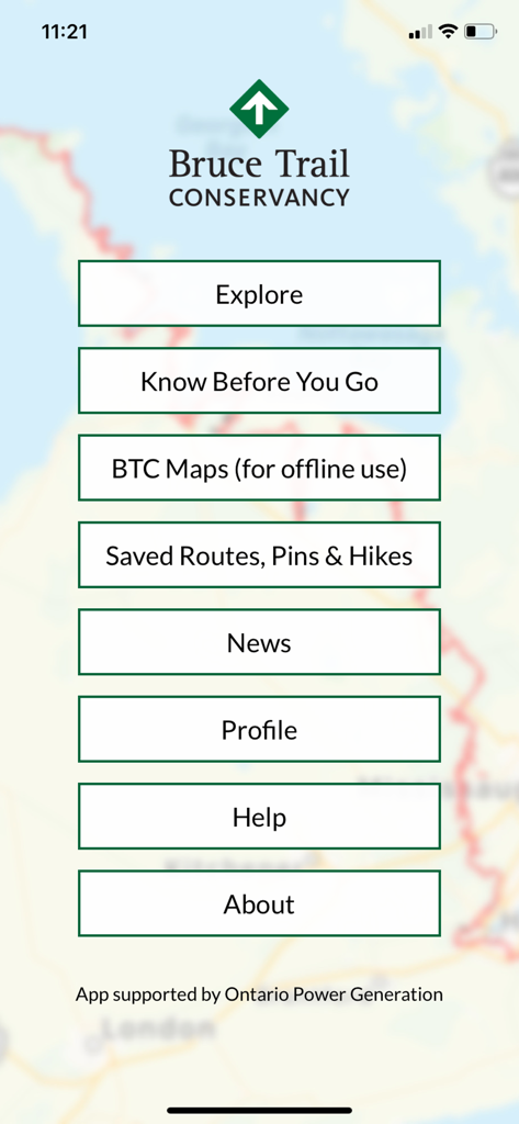
The main menu of the Bruce Trail App showing options for Explore, BTC Maps, Saved Routes, and News over a trail map background.
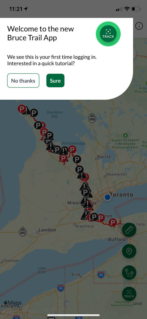
The welcome tutorial popup displayed over a map view in the Bruce Trail App.
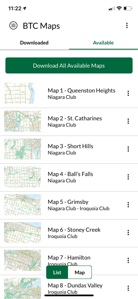
List of available maps for download in the Bruce Trail app
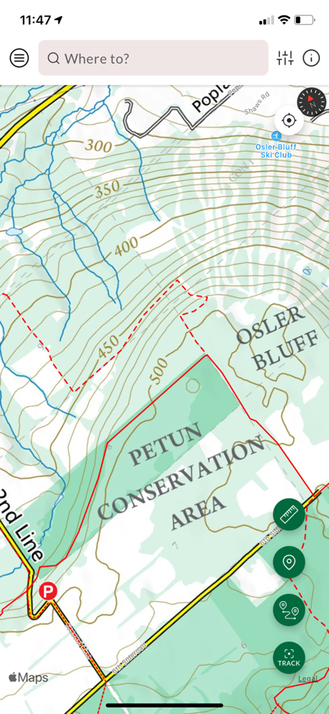
Topographic map of Petun Conservation Area in the Bruce Trail App interface
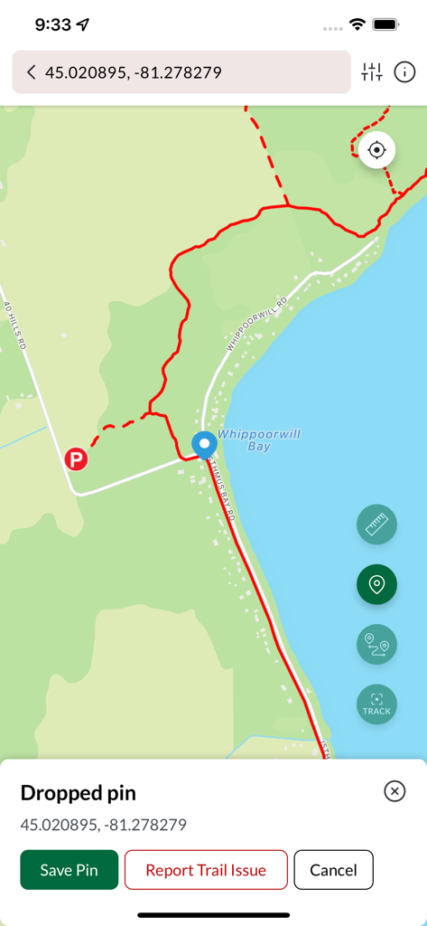
Bruce Trail App map interface showing a dropped pin on a hiking route near Whippoorwill Bay
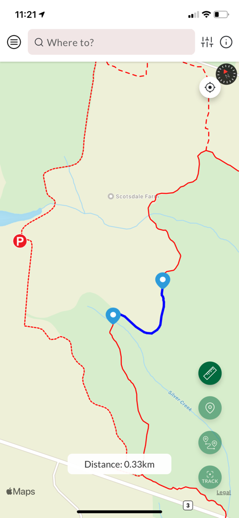
Map interface of the Bruce Trail App showing a planned hiking route with a distance measurement of zero point thirty three kilometers
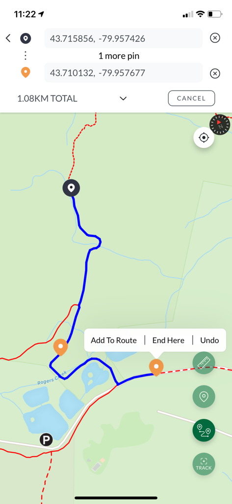
Mobile map view showing a 1.08 km hiking route with GPS coordinates and custom pins
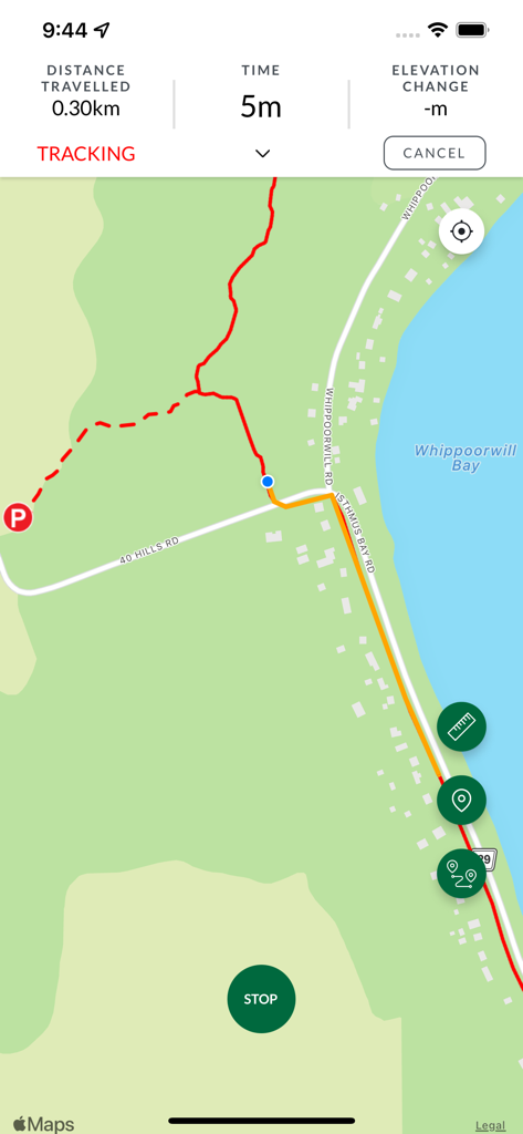
Bruce Trail App tracking screen showing a map with a red trail line and distance statistics
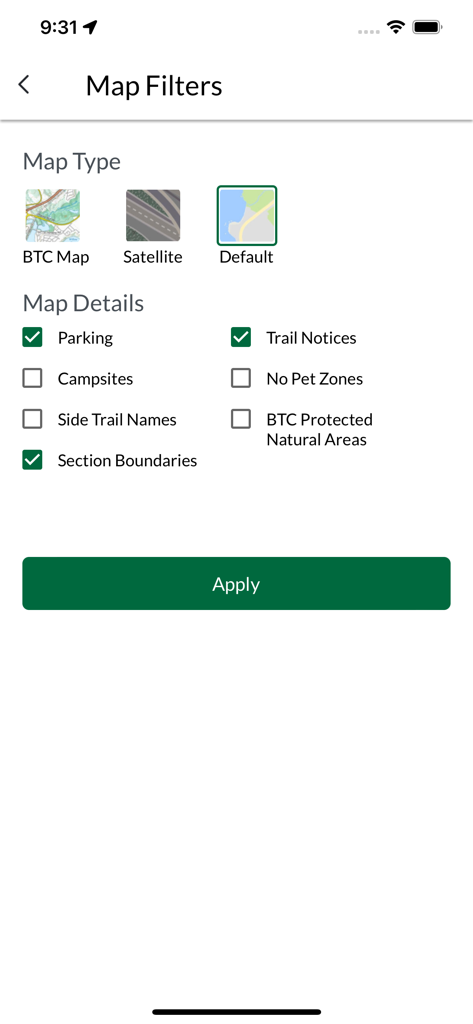
Map filters screen in the Bruce Trail App showing options for map types and trail details like parking and notices
Description
Download
More Like This
Apps with similar features and user experience


This page is not an official page of the app or its developer, but an independent editorial publication created for informational and commentary purposes. Unless expressly stated otherwise, neither the app nor its developer is affiliated with, endorsed by, sponsored by, authorized by, or otherwise officially connected with MWM, Apple, Google Play, the app publisher, or the app's developer, and nothing on this page implies that the app was developed using MWM's services. Any trademarks, logos, screenshots, and other content remain the property of their respective owners.