This page is not an official page of the app or its developer, but an independent editorial publication created for informational and commentary purposes. Unless expressly stated otherwise, neither the app nor its developer is affiliated with, endorsed by, sponsored by, authorized by, or otherwise officially connected with MWM, Apple, Google Play, the app publisher, or the app's developer, and nothing on this page implies that the app was developed using MWM's services. Any trademarks, logos, screenshots, and other content remain the property of their respective owners.

Compass i16 GeoTag GPS Camera
Turn your iPhone into a precision instrument. Capture high-accuracy photos with burned-in GPS data, MGRS coordinates, sun tracking, and real-time weather—even offline.
Downloads
500User Rating
Total Ratings
0Publisher
Category
NavigationLocales
1Latest Version
1.1Size
7.8 MBFirst Released
May 16, 2025Professional-Grade Field Intelligence
A high-precision suite of navigation and documentation tools designed for those who demand accuracy in every environment.
Indisputable Field Records
Overlay and burn GPS coordinates, MGRS data, and timestamps directly onto your photos for professional verification.
Precision AR Navigation
Navigate using a dual-mode compass and vanishing-point guides to ensure perfect alignment and orientation in the field.
The following screenshots and description are sourced directly from the app's official store listing and are the property of the app developer.
App Store
Screenshots
AR viewfinder of Compass i16 app showing GPS coordinates and location data over a landscape
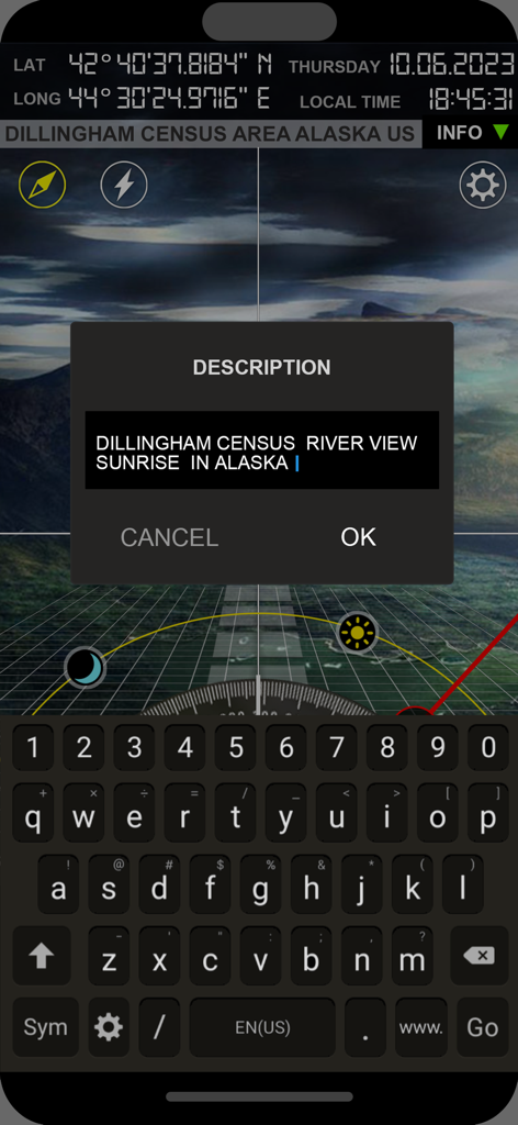
Compass i16 app interface showing GPS coordinates and a custom photo description field for geotagging.
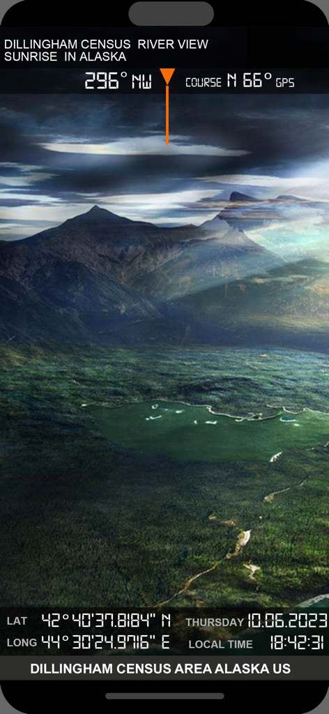
Geotagged photo of an Alaska landscape with GPS coordinates and compass heading overlay
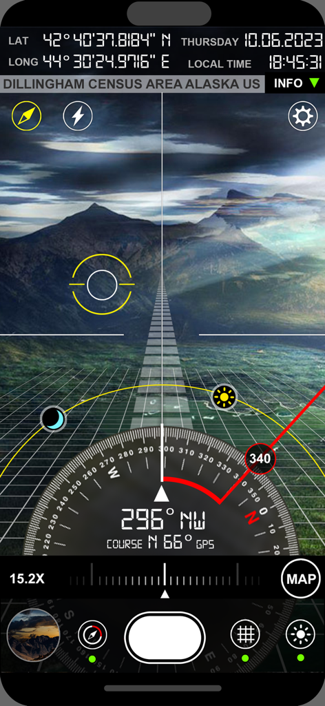
Compass i16 GeoTag GPS Camera showing AR viewfinder with satellite map sun tracker and coordinates
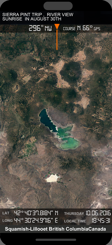
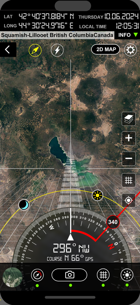
Satellite map display with integrated GPS coordinates and compass data
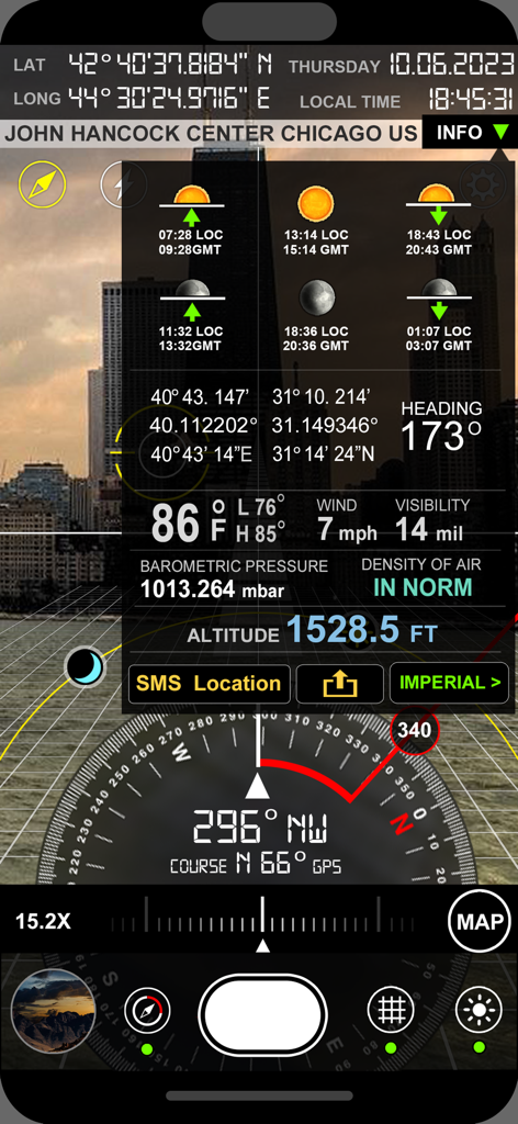
Professional GPS camera interface with compass coordinates altitude and weather data overlay
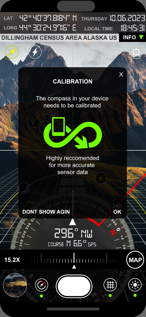
Calibration screen of the Compass i16 GeoTag GPS Camera showing coordinates over an Alaska mountain landscape
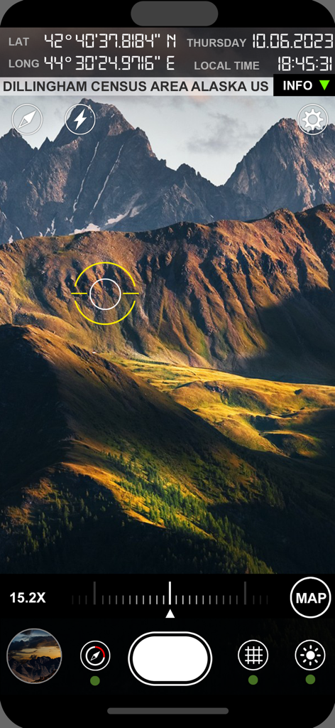
Professional GPS camera interface showing coordinates and location data over mountains
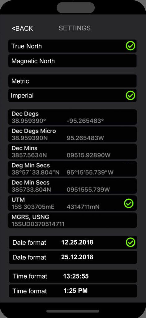
Professional settings screen for selecting coordinate formats and unit types
Description
Download
More Like This
Top-ranked apps in the same category

Google Maps
Google LLC

Waze Navigation & Live Traffic
waze

AMap Global
AutoNavi Information Technology Co. Ltd.

百度地图-路线规划,出行必备
Beijing Baidu Netcom Science & Technology Co.,Ltd

Moovit: Bus & Transit Tracker
Moovit App Global LTD

Transit • Subway & Bus Times
9280-0366 Quebec inc.

ParkMobile: Park. Pay. Go.
Parkmobile USA, Inc

腾讯地图-路线规划,导航地铁打车出行
Shenzhen Tencent Computer Systems Company Limited

Île-de-France Mobilités
Ile de France Mobilites
This page is not an official page of the app or its developer, but an independent editorial publication created for informational and commentary purposes. Unless expressly stated otherwise, neither the app nor its developer is affiliated with, endorsed by, sponsored by, authorized by, or otherwise officially connected with MWM, Apple, Google Play, the app publisher, or the app's developer, and nothing on this page implies that the app was developed using MWM's services. Any trademarks, logos, screenshots, and other content remain the property of their respective owners.