This page is not an official page of the app or its developer, but an independent editorial publication created for informational and commentary purposes. Unless expressly stated otherwise, neither the app nor its developer is affiliated with, endorsed by, sponsored by, authorized by, or otherwise officially connected with MWM, Apple, Google Play, the app publisher, or the app's developer, and nothing on this page implies that the app was developed using MWM's services. Any trademarks, logos, screenshots, and other content remain the property of their respective owners.

Countries!
Explore up-to-date maps, flags, and essential stats for every nation. No internet required—the perfect digital atlas for students, travelers, and trivia lovers.
Downloads
12K+User Rating
Total Ratings
0Publisher
Category
EducationLocales
1Latest Version
3.04Size
161.9 MBFirst Released
Jan 7, 2015Everything You Need to Know About the World
Skip the endless web searches. Get instant access to flags, maps, and vital statistics for every country—all in one place, even without an internet connection.
100% Offline Access
No Wi-Fi? No problem. Every map, flag, and stat is stored directly on your device for instant lookup anywhere, from classrooms to remote travel.
Up-to-Date Global Stats
Master current 2024/2025 data on population, GDP, and time zones. Perfect for school projects, trivia prep, or staying informed on global trends.
The following screenshots and description are sourced directly from the app's official store listing and are the property of the app developer.
App Store
Screenshots
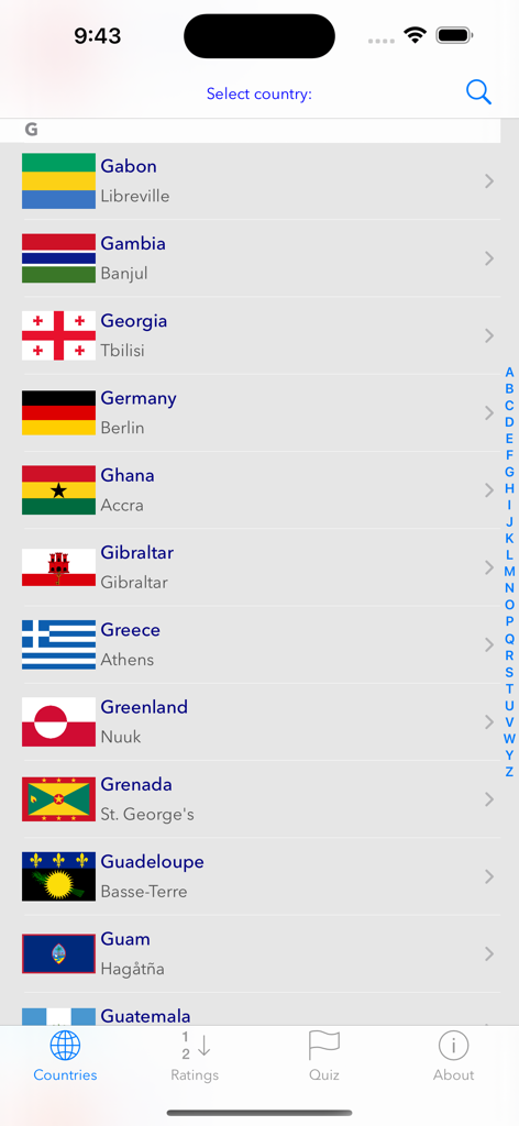
A list of countries starting with G showing flags and capital cities in the Countries app
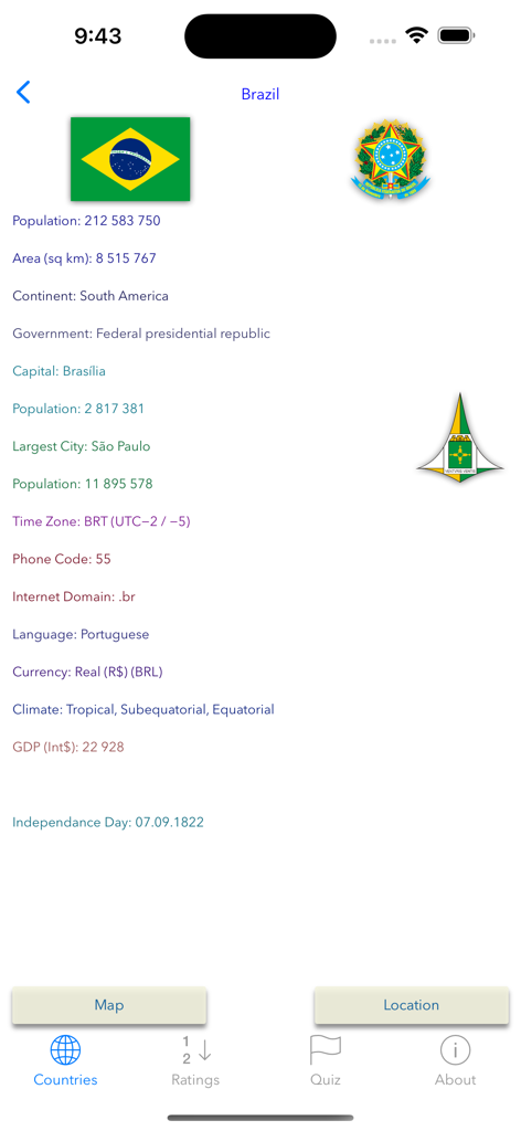
A detailed profile screen of Brazil in the Countries app showing its flag, population, capital, and geographical data.
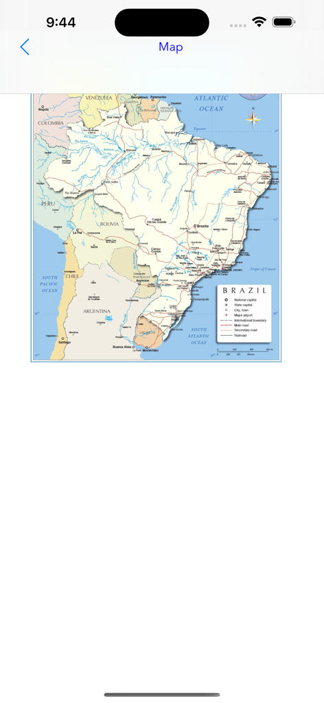
A detailed geographical map of Brazil showing major cities and river systems within the Countries app interface.
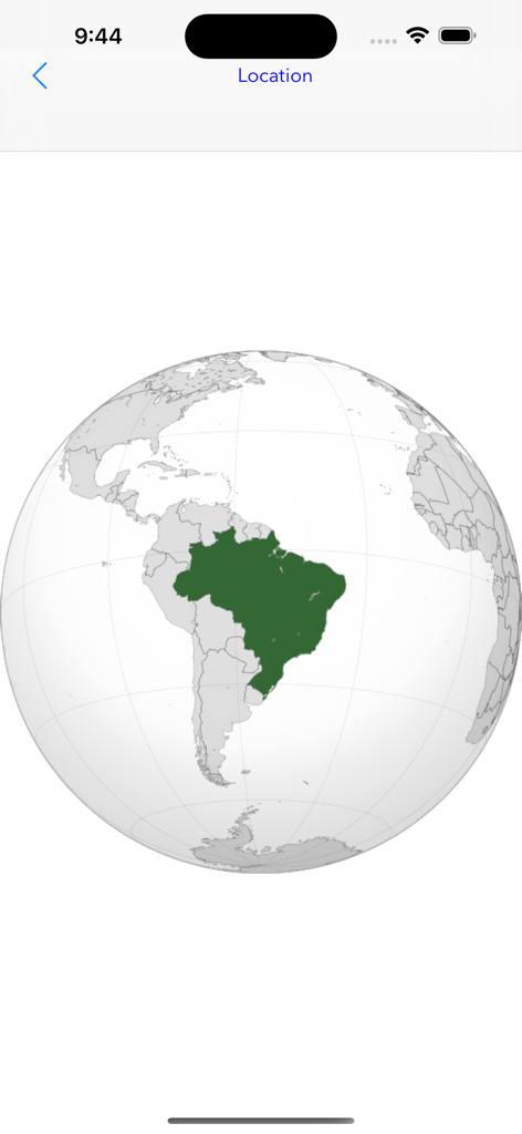
A globe showing the geographical location of Brazil highlighted in green
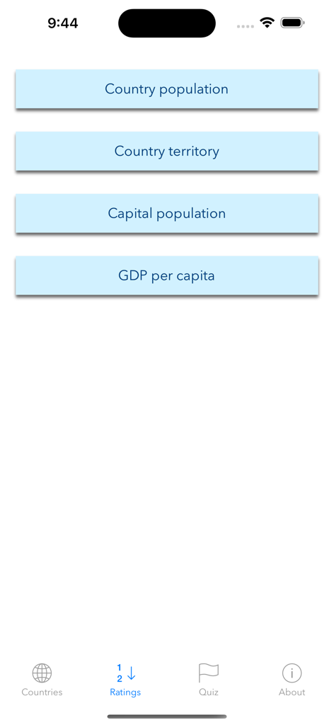
Interface of the Countries app displaying buttons for country population territory and GDP rankings
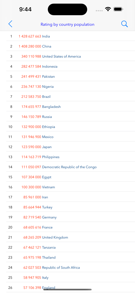
A list of world countries ranked by population count in the Countries app.
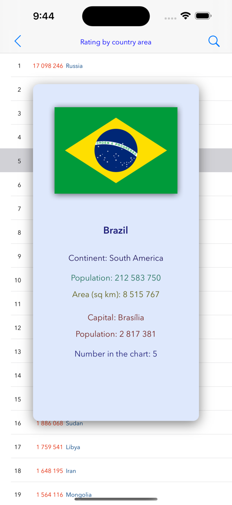
Information popup for Brazil displaying national flag and geographic statistics in the Countries app
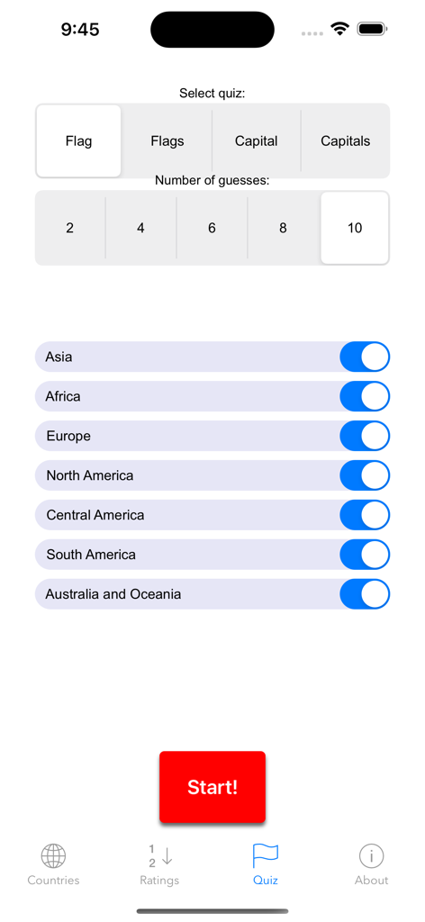
Geography quiz settings screen with options for flags, capitals, number of guesses, and continent selection
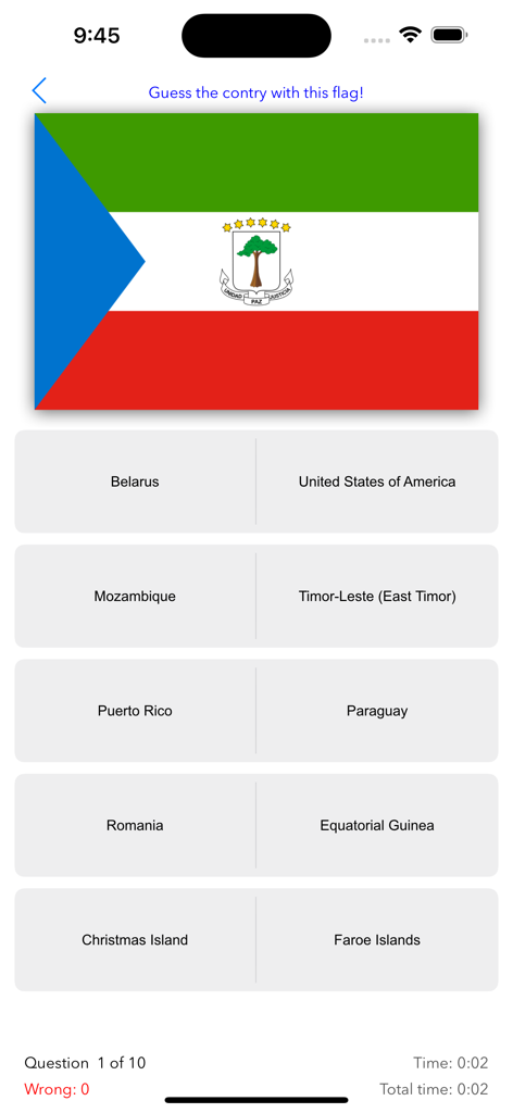
A flag identification trivia question in the Countries app featuring the flag of Equatorial Guinea
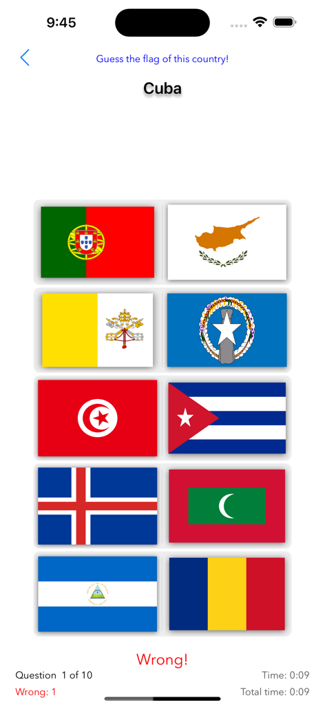
Geography quiz screen in the Countries app for guessing the flag of Cuba
Description
Download
More Like This
Top-ranked apps in the same category

Duolingo - Language Lessons
Duolingo, Inc

Speak & Learn English: Learna
DEEP FLOW SOFTWARE SERVICES - FZCO

驾考宝典-科一科四驾驶证考试驾考通
Wuhan Jiakaobaodian Information Service Co., Ltd.

Toca Boca World
Toca Boca AB

Google Classroom
Google LLC

作业帮-中小学家长作业检查和辅导工具
Guangzhou Polar Future Culture Technology Co., Ltd

学信网
Student Information Consultation Service Co., Ltd.

Gauth: AI Study Companion
GAUTHTECH PTE. LTD.

ArtWorkout: Learn How to Draw
Aleksandr Ulitin
This page is not an official page of the app or its developer, but an independent editorial publication created for informational and commentary purposes. Unless expressly stated otherwise, neither the app nor its developer is affiliated with, endorsed by, sponsored by, authorized by, or otherwise officially connected with MWM, Apple, Google Play, the app publisher, or the app's developer, and nothing on this page implies that the app was developed using MWM's services. Any trademarks, logos, screenshots, and other content remain the property of their respective owners.