This page is not an official page of the app or its developer, but an independent editorial publication created for informational and commentary purposes. Unless expressly stated otherwise, neither the app nor its developer is affiliated with, endorsed by, sponsored by, authorized by, or otherwise officially connected with MWM, Apple, Google Play, the app publisher, or the app's developer, and nothing on this page implies that the app was developed using MWM's services. Any trademarks, logos, screenshots, and other content remain the property of their respective owners.

Distance & Area Measure On Map
Get 100% accurate measurements for land, fields, and construction sites. Export KML files, work offline, and simplify your workflow with the ultimate US mapping tool.
Downloads
92K+User Rating
Total Ratings
0Publisher
Category
NavigationLocales
1Latest Version
2.0.3Size
2.9 MBFirst Released
Jan 22, 2018Professional Mapping Tools in Your Pocket
Stop guessing and start measuring. Whether you're managing acreage, estimating job site materials, or planning a route, get 100% accurate data with our intuitive GPS measurement tools.
Precision Field Measurement
Calculate land area for farms, gardens, or construction sites instantly. Use live-draw or pin-drop modes to get exact measurements in Acres, Square Feet, or Miles.
Offline Reliability
Work anywhere, even without cell service. Map remote rural property or mountain trails with high-performance GPS tracking that functions perfectly in dead zones.
The following screenshots and description are sourced directly from the app's official store listing and are the property of the app developer.
App Store
Screenshots
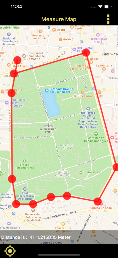
Mobile app interface showing a red perimeter line drawn on a city map to measure a specific distance
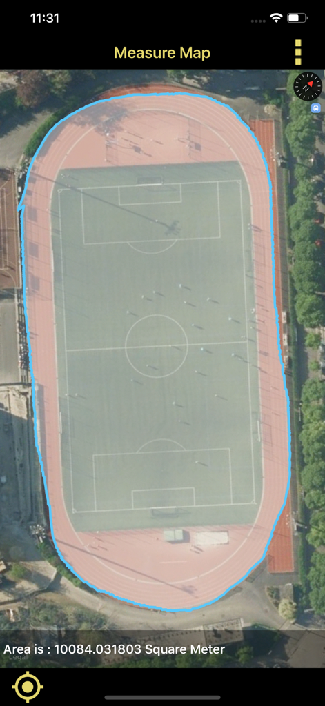
Area measurement of a sports stadium on a satellite map
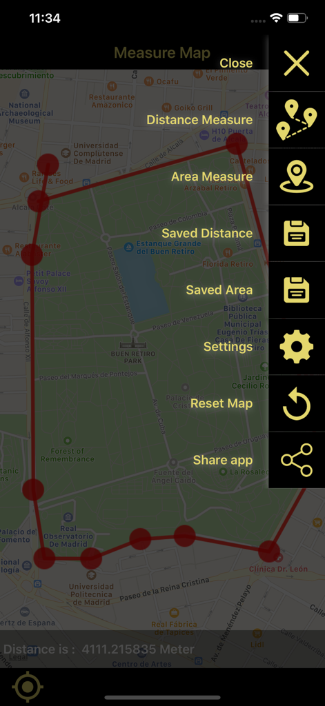
Interface of the Distance and Area Measure On Map app showing a measured area on a city map and a sidebar menu
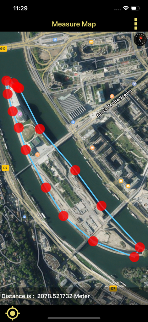
Satellite map view showing a measured perimeter around an island with calculated distance in meters
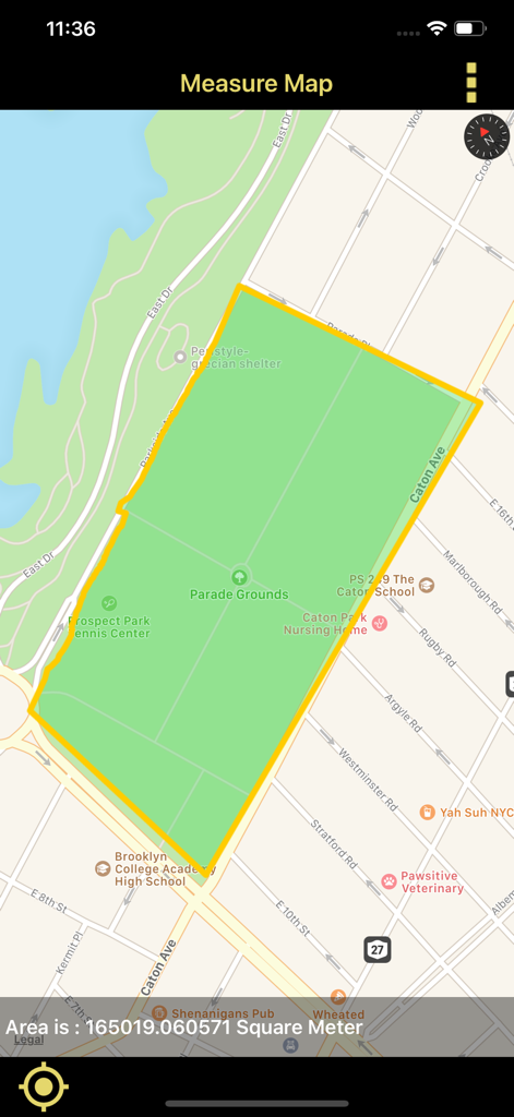
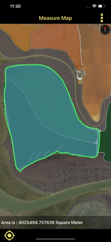
Interface of a mobile app measuring a land area polygon on a map in square meters
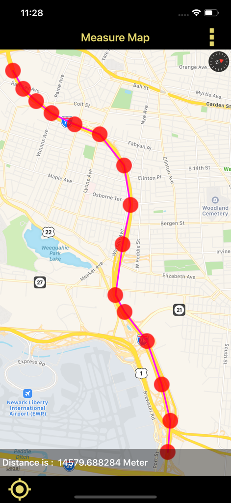
A mobile screen showing a route measured on a GPS map with a calculated distance in meters
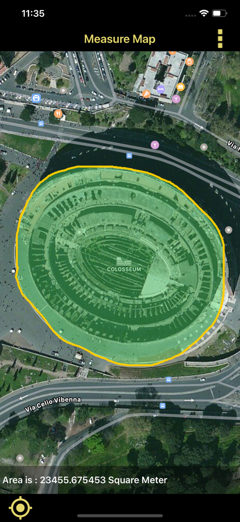
Satellite view showing the area measurement of the Colosseum in square meters using the app.
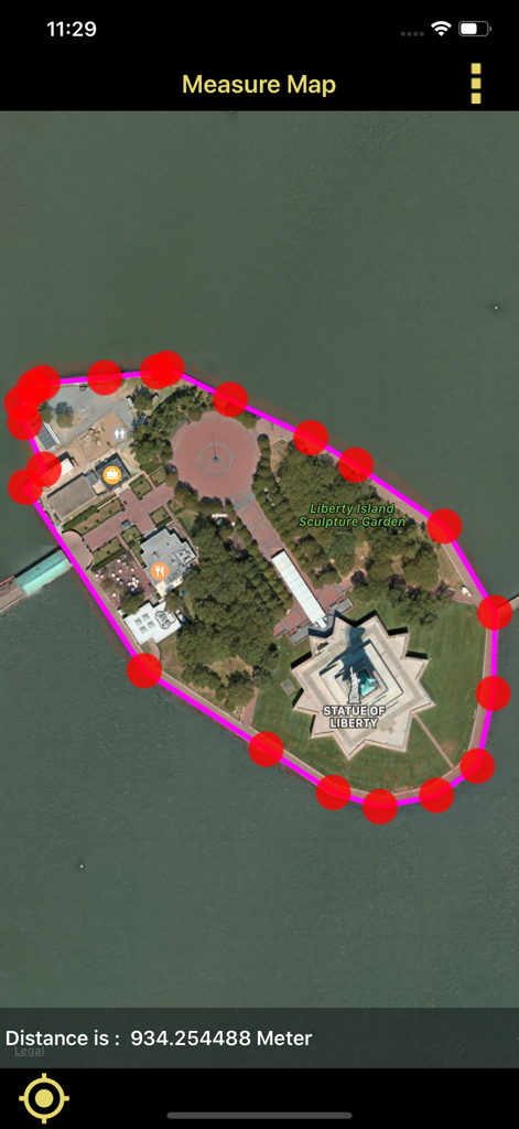
A mobile app interface showing a red pin perimeter and distance measurement of Liberty Island on a satellite map
Satellite map display measuring land area in square meters
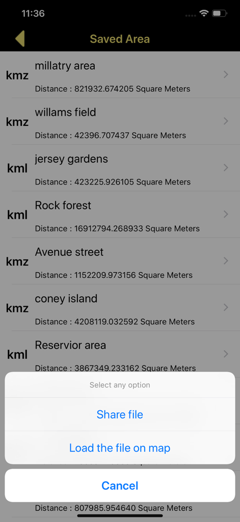
List of saved map area measurements with options to share or load KML and KMZ files
Description
Download
More Like This
Top-ranked apps in the same category

Google Maps
Google LLC

Waze Navigation & Live Traffic
waze

AMap Global
AutoNavi Information Technology Co. Ltd.

百度地图-路线规划,出行必备
Beijing Baidu Netcom Science & Technology Co.,Ltd

Moovit: Bus & Transit Tracker
Moovit App Global LTD

Transit • Subway & Bus Times
9280-0366 Quebec inc.

ParkMobile: Park. Pay. Go.
Parkmobile USA, Inc

腾讯地图-路线规划,导航地铁打车出行
Shenzhen Tencent Computer Systems Company Limited

Île-de-France Mobilités
Ile de France Mobilites
This page is not an official page of the app or its developer, but an independent editorial publication created for informational and commentary purposes. Unless expressly stated otherwise, neither the app nor its developer is affiliated with, endorsed by, sponsored by, authorized by, or otherwise officially connected with MWM, Apple, Google Play, the app publisher, or the app's developer, and nothing on this page implies that the app was developed using MWM's services. Any trademarks, logos, screenshots, and other content remain the property of their respective owners.