This page is not an official page of the app or its developer, but an independent editorial publication created for informational and commentary purposes. Unless expressly stated otherwise, neither the app nor its developer is affiliated with, endorsed by, sponsored by, authorized by, or otherwise officially connected with MWM, Apple, Google Play, the app publisher, or the app's developer, and nothing on this page implies that the app was developed using MWM's services. Any trademarks, logos, screenshots, and other content remain the property of their respective owners.

GPS Map Camera Geotag Location
Automatically embed GPS coordinates, timestamps, and technical data like altitude and magnetic fields into every photo. The ultimate tool for real estate, field reporting, and expert travel documentation.
Downloads
44K+User Rating
Total Ratings
1K+Publisher
Category
NavigationLocales
1Latest Version
2.0Size
70.2 MBFirst Released
Aug 15, 2023Capture Every Detail with Precision
Automate your documentation with professional-grade stamps featuring GPS coordinates, real-time weather, and environmental data.
Professional Site Verification
Instantly add verified GPS coordinates and addresses to provide undeniable proof of work for real estate and field reports.
All-in-One Data Stamps
Overlay altitude, compass direction, magnetic fields, and local weather conditions directly onto your captures.
The following screenshots and description are sourced directly from the app's official store listing and are the property of the app developer.
App Store
Screenshots
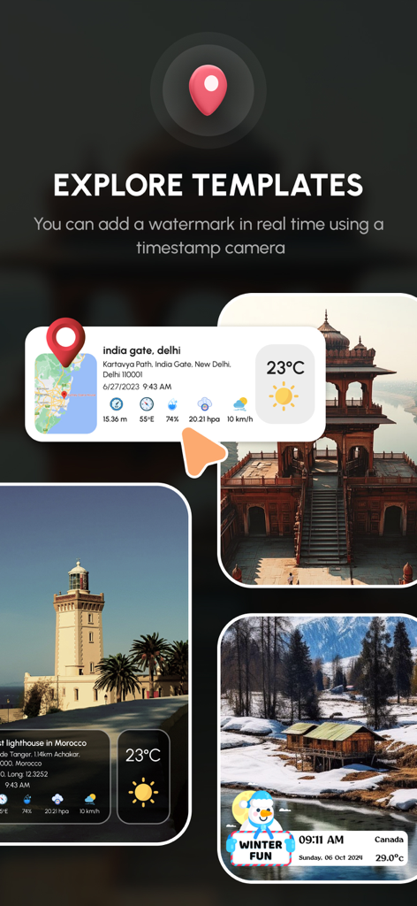
GPS camera app showing photo templates with location and weather data overlays
GPS camera interface showing a geotagged photo with location coordinates and weather information
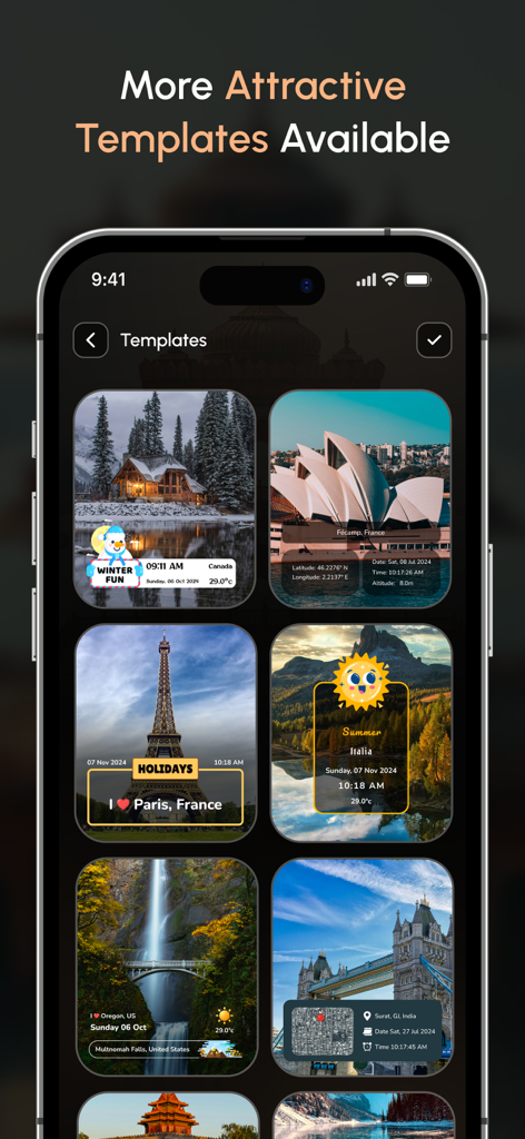
Mobile app interface displaying multiple geotagged photo templates with location, date, and weather stamps.
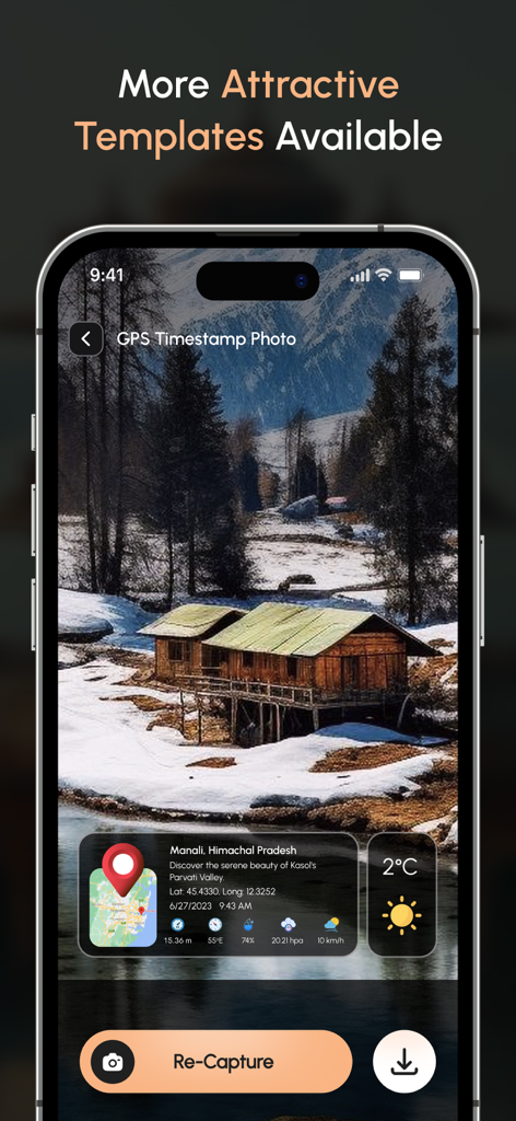
Interface of the GPS Map Camera app showing live date time and location stamp features for professional photo documentation
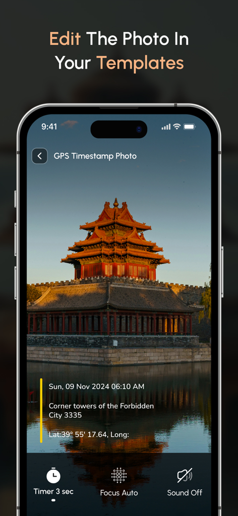
Smartphone screen displaying a geotagged photo with date and location details
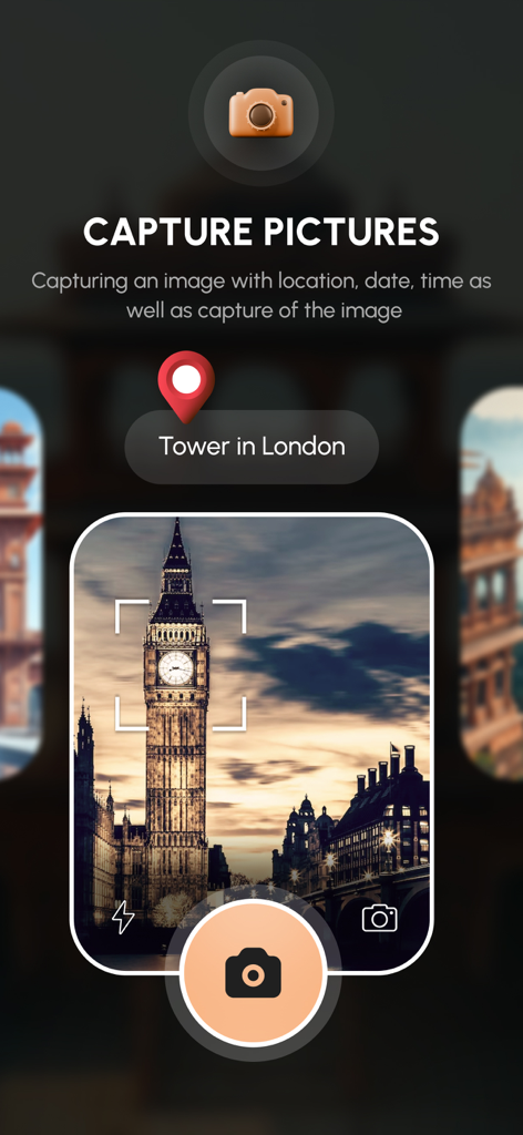
Interface of the GPS Map Camera app capturing a photo of Big Ben with a geotag location pin
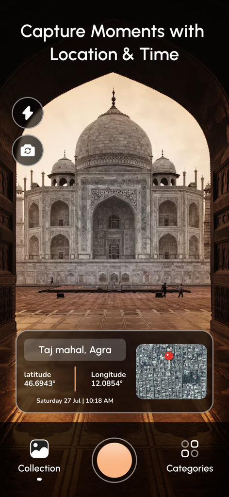
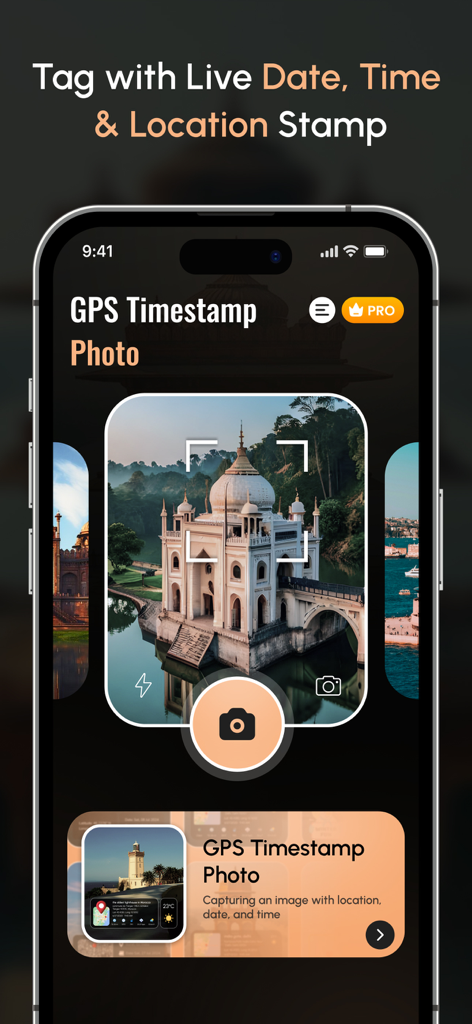
Mobile app interface showing a geotagged photo of the Taj Mahal with latitude longitude and map overlay
Description
Download
More Like This
Top-ranked apps in the same category

Google Maps
Google LLC

Waze Navigation & Live Traffic
waze

AMap Global
AutoNavi Information Technology Co. Ltd.

百度地图-路线规划,出行必备
Beijing Baidu Netcom Science & Technology Co.,Ltd

Moovit: Bus & Transit Tracker
Moovit App Global LTD

Transit • Subway & Bus Times
9280-0366 Quebec inc.

ParkMobile: Park. Pay. Go.
Parkmobile USA, Inc

腾讯地图-路线规划,导航地铁打车出行
Shenzhen Tencent Computer Systems Company Limited

Île-de-France Mobilités
Ile de France Mobilites
This page is not an official page of the app or its developer, but an independent editorial publication created for informational and commentary purposes. Unless expressly stated otherwise, neither the app nor its developer is affiliated with, endorsed by, sponsored by, authorized by, or otherwise officially connected with MWM, Apple, Google Play, the app publisher, or the app's developer, and nothing on this page implies that the app was developed using MWM's services. Any trademarks, logos, screenshots, and other content remain the property of their respective owners.