This page is not an official page of the app or its developer, but an independent editorial publication created for informational and commentary purposes. Unless expressly stated otherwise, neither the app nor its developer is affiliated with, endorsed by, sponsored by, authorized by, or otherwise officially connected with MWM, Apple, Google Play, the app publisher, or the app's developer, and nothing on this page implies that the app was developed using MWM's services. Any trademarks, logos, screenshots, and other content remain the property of their respective owners.

Hurricane Track- Storm Tracker
Skip the media hype and access real-time NEXRAD radar, GOES-19 satellite imagery, and precise 5-day storm paths. Get the advanced meteorological tools you need to make informed safety decisions when it matters most—all for free.
Downloads
530K+User Rating
Total Ratings
100Publisher
Category
WeatherLocales
1Latest Version
3.5.0Size
25.6 MBFirst Released
May 22, 2011Professional Storm Intelligence for Your Home
Access the same high-resolution data used by professional meteorologists to monitor threats, assess risks, and protect your property with confidence.
NEXRAD Local Radar
Monitor hyper-local hazards and tornado warnings with precision technology for your specific zip code.
5-Day Projected Paths
Track future tropical cyclone trajectories using GOES-19 satellite imagery to prepare days before impact.
Frequently Asked Questions
Everything you need to know about Hurricane Track- Storm Tracker
Is Hurricane Track- Storm Tracker free to use?
Yes, Hurricane Track- Storm Tracker is a free application. The app description explicitly states "Hurricane Track is Free!".
What radar technologies are available in Hurricane Track 3.0?
Hurricane Track 3.0 utilizes 18 World Radars, including the GOES-19 Satellite, and a customizable Local Radar featuring NEXRAD technology. It also offers Innovative Lightning Intensity Radars.
Does Hurricane Track- Storm Tracker provide local radar for specific regions?
Yes, Hurricane Track- Storm Tracker offers a customizable advanced local radar using NEXRAD technology, specifically available for the U.S. region.
Can Hurricane Track- Storm Tracker show projected tropical storm paths?
Yes, Hurricane Track- Storm Tracker displays future projected tropical cyclone paths. It provides these projections for the next five days.
What hazard warnings does Hurricane Track- Storm Tracker provide?
Hurricane Track- Storm Tracker provides detailed Forecast and Hazard warnings for various events, including Tornado Watch, Flood Warning, and High Tide. This feature is U.S. only and updates hourly.
Does Hurricane Track 3.0 include a 3D Earth visualization?
Yes, Hurricane Track 3.0 features an interactive 3D Earth. This visualization displays live clouds, tropical storms, and earthquakes.
Does Hurricane Track- Storm Tracker provide sea surface temperature data?
Yes, Hurricane Track- Storm Tracker provides Sea Surface Temperatures. This data is available for the past two months.
The following screenshots and description are sourced directly from the app's official store listing and are the property of the app developer.
App Store
Screenshots
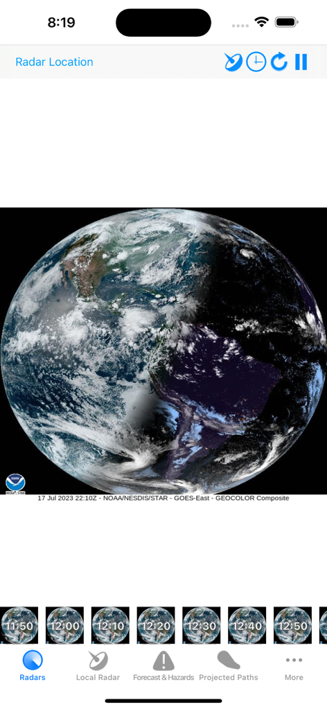
Satellite view of Earth with real time cloud coverage on the Hurricane Track mobile app
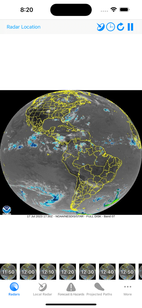
Global satellite radar view of the Americas on the Hurricane Track app
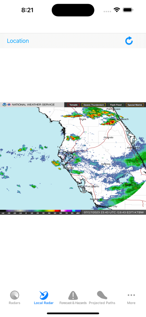
Local NEXRAD radar map of Florida displaying weather intensity in the Hurricane Track app.
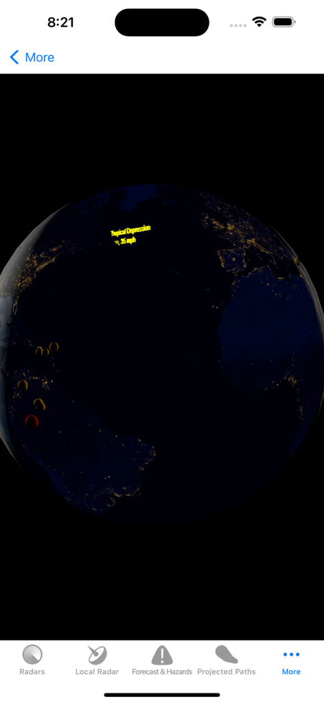
Interactive 3D Earth view showing a tropical depression on the Hurricane Track app
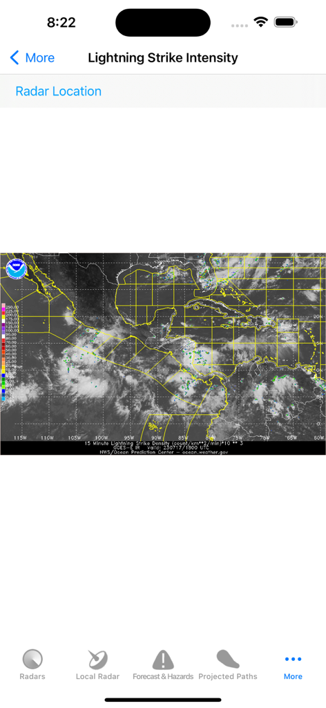
Lightning strike intensity map on Hurricane Track app
Description
Download
More Like This
Apps with similar features and user experience

Watch Duty: Wildfire Maps
Sherwood Forestry Service, Inc.

My Hurricane Tracker & Alerts
JRustonApps B.V.

Air Quality & Pollen - AirCare
AirCare Data, Inc.

My Hurricane Tracker Pro
JRustonApps B.V.

เช็คน้ำ
Geo-Informatics and Space Technology Development Agency

SharkSmart
NSW Trade & Investment, Regional Infrastructure & Services

Dorsal Shark Reports
Bluebottle Digital Pty. Ltd.

global storms
Kelly Technology Inc.

My AQI Air Quality & Pollution
Jean Baptiste Stevenard
This page is not an official page of the app or its developer, but an independent editorial publication created for informational and commentary purposes. Unless expressly stated otherwise, neither the app nor its developer is affiliated with, endorsed by, sponsored by, authorized by, or otherwise officially connected with MWM, Apple, Google Play, the app publisher, or the app's developer, and nothing on this page implies that the app was developed using MWM's services. Any trademarks, logos, screenshots, and other content remain the property of their respective owners.