This page is not an official page of the app or its developer, but an independent editorial publication created for informational and commentary purposes. Unless expressly stated otherwise, neither the app nor its developer is affiliated with, endorsed by, sponsored by, authorized by, or otherwise officially connected with MWM, Apple, Google Play, the app publisher, or the app's developer, and nothing on this page implies that the app was developed using MWM's services. Any trademarks, logos, screenshots, and other content remain the property of their respective owners.

Kent Connected
The ultimate journey planner for Kent. Get live transit times, discover cycling routes with elevation profiles, and track your CO2 savings and calories burned in real-time.
Downloads
14K+User Rating
Total Ratings
0Publisher
Category
NavigationLocales
1Latest Version
2.7.1Size
14.8 MBFirst Released
Jul 23, 2017The Smarter Way to Move
Kent Connected empowers you to make travel choices that benefit your health, your wallet, and the environment.
Live Transit Tracking
Eliminate uncertainty with real-time arrivals for buses and trains to keep your day moving smoothly.
Health-Driven Navigation
Turn commutes into workouts using detailed maps for walking and cycling, complete with elevation profiles.
The following screenshots and description are sourced directly from the app's official store listing and are the property of the app developer.
App Store
Screenshots
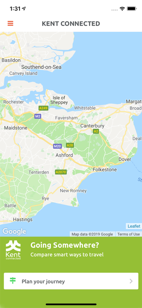
Map of Kent within the Kent Connected journey planning app
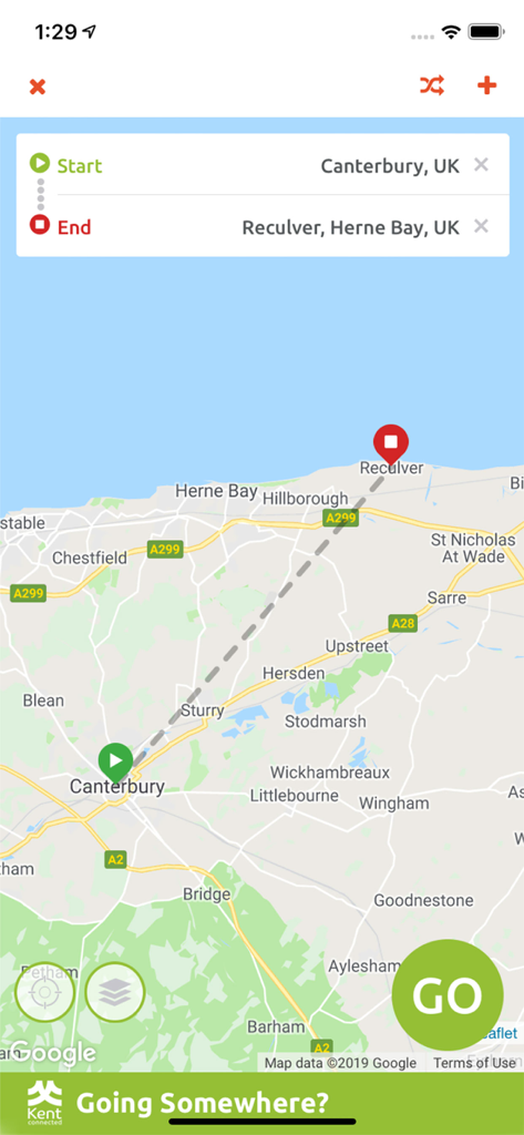
Kent Connected app interface showing a travel route on a map from Canterbury to Reculver
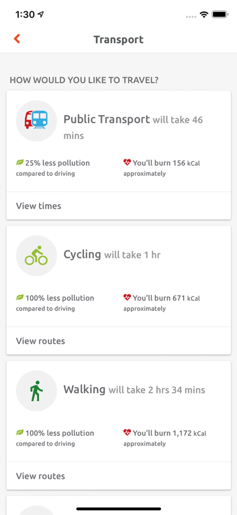
Kent Connected app interface displaying travel time environmental impact and calorie burn for various transport methods
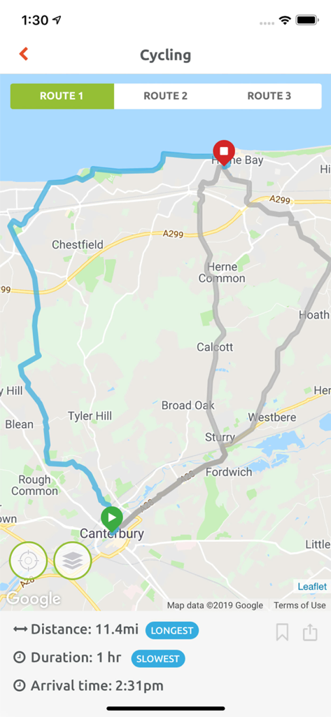
Kent Connected app interface showing a cycling route map from Canterbury to Herne Bay with distance and duration details
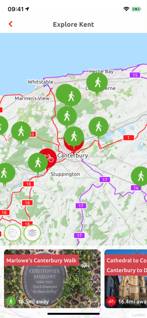
Interactive map in the Kent Connected app displaying walking and cycling routes
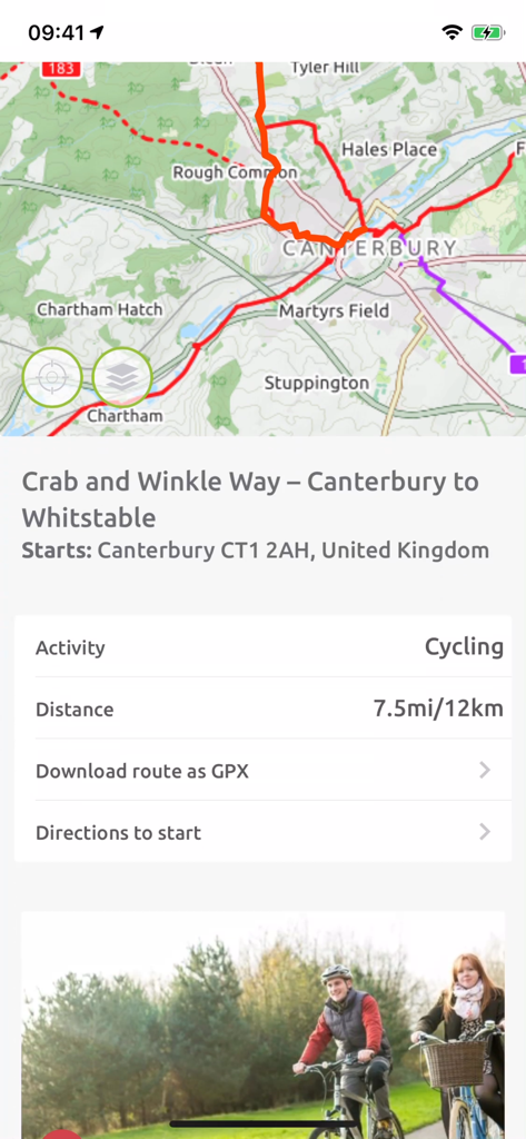
Cycling route map in Kent Connected app showing the Crab and Winkle Way from Canterbury to Whitstable
Description
Download
More Like This
Top-ranked apps in the same category

Google Maps
Google LLC

AMap Global
AutoNavi Information Technology Co. Ltd.

Waze Navigation & Live Traffic
waze

百度地图-路线规划,出行必备
Beijing Baidu Netcom Science & Technology Co.,Ltd

Moovit: Bus & Transit Tracker
Moovit App Global LTD

Transit • Subway & Bus Times
9280-0366 Quebec inc.

ParkMobile: Park. Pay. Go.
Parkmobile USA, Inc

腾讯地图-路线规划,导航地铁打车出行
Shenzhen Tencent Computer Systems Company Limited

MapXplorer: Map Radar Navigate
GOLDLAB APPLICATIONS YAZILIM VE BILISIM ANONIM SIRKETI
This page is not an official page of the app or its developer, but an independent editorial publication created for informational and commentary purposes. Unless expressly stated otherwise, neither the app nor its developer is affiliated with, endorsed by, sponsored by, authorized by, or otherwise officially connected with MWM, Apple, Google Play, the app publisher, or the app's developer, and nothing on this page implies that the app was developed using MWM's services. Any trademarks, logos, screenshots, and other content remain the property of their respective owners.