This page is not an official page of the app or its developer, but an independent editorial publication created for informational and commentary purposes. Unless expressly stated otherwise, neither the app nor its developer is affiliated with, endorsed by, sponsored by, authorized by, or otherwise officially connected with MWM, Apple, Google Play, the app publisher, or the app's developer, and nothing on this page implies that the app was developed using MWM's services. Any trademarks, logos, screenshots, and other content remain the property of their respective owners.

Memory-Map for All
Master the wilderness and the waves with pro-grade USGS topo maps and NOAA marine charts. Designed for serious explorers, this is your high-precision tool for planning on desktop and navigating offline in the world's most remote locations.
Downloads
55K+User Rating
Total Ratings
400Publisher
Category
NavigationLocales
-Latest Version
2.0.5Size
42.3 MBFirst Released
May 26, 2022Professional Navigation for Your Most Demanding Expeditions
Engineered for technical explorers and maritime navigators who require absolute reliability when off the grid. Transition seamlessly from detailed route planning at home to high-stakes navigation in the field.
Total Offline Independence
Navigate with confidence in total 'dead zones.' Pre-load high-resolution USGS Topo and NOAA Marine charts to ensure full GPS functionality without a cellular signal.
Seamless Cross-Platform Planning
Perfect your routes on your PC or Mac using the desktop app, then automatically sync all waypoints and tracks to your mobile devices via the cloud.
The following screenshots and description are sourced directly from the app's official store listing and are the property of the app developer.
App Store
Screenshots
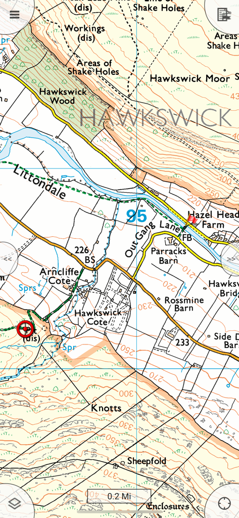
A detailed topographic map view within the Memory-Map app showing terrain contour lines buildings and geographic labels for rural navigation.
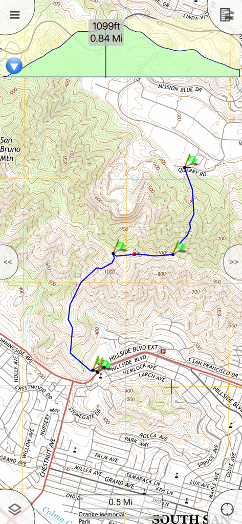
A topographic map in the Memory-Map for All app showing a blue hiking route with green waypoints and a detailed elevation profile graph.
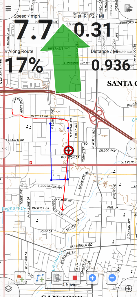
GPS navigation screen showing map tracking with speed and distance information
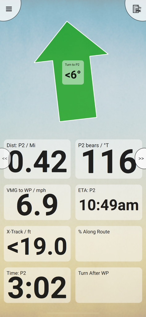
Memory Map navigation dashboard with a large steering arrow and data fields for distance bearing and ETA
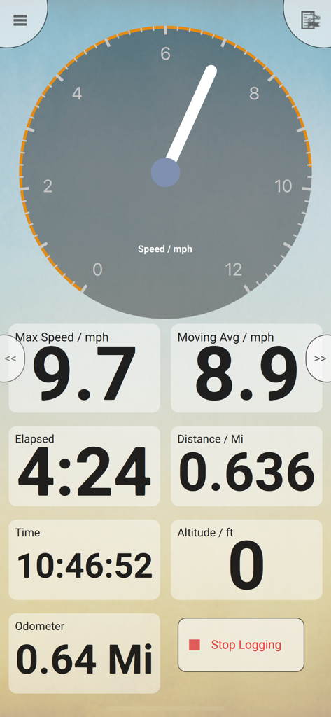
Mobile GPS navigation dashboard showing speedometer and trip statistics
Description
Download
More Like This
Top-ranked apps in the same category

Google Maps
Google LLC

Waze Navigation & Live Traffic
waze

AMap Global
AutoNavi Information Technology Co. Ltd.

百度地图-路线规划,出行必备
Beijing Baidu Netcom Science & Technology Co.,Ltd

Moovit: Bus & Transit Tracker
Moovit App Global LTD

Transit • Subway & Bus Times
9280-0366 Quebec inc.

ParkMobile: Park. Pay. Go.
Parkmobile USA, Inc

腾讯地图-路线规划,导航地铁打车出行
Shenzhen Tencent Computer Systems Company Limited

Île-de-France Mobilités
Ile de France Mobilites
This page is not an official page of the app or its developer, but an independent editorial publication created for informational and commentary purposes. Unless expressly stated otherwise, neither the app nor its developer is affiliated with, endorsed by, sponsored by, authorized by, or otherwise officially connected with MWM, Apple, Google Play, the app publisher, or the app's developer, and nothing on this page implies that the app was developed using MWM's services. Any trademarks, logos, screenshots, and other content remain the property of their respective owners.