This page is not an official page of the app or its developer, but an independent editorial publication created for informational and commentary purposes. Unless expressly stated otherwise, neither the app nor its developer is affiliated with, endorsed by, sponsored by, authorized by, or otherwise officially connected with MWM, Apple, Google Play, the app publisher, or the app's developer, and nothing on this page implies that the app was developed using MWM's services. Any trademarks, logos, screenshots, and other content remain the property of their respective owners.

Nav&Co
The all-in-one companion for eco-conscious boaters. Access official maritime charts, stay compliant with real-time environmental alerts, and discover the marine biodiversity beneath your hull.
Downloads
69K+User Rating
Total Ratings
0Publisher
Category
NavigationLocales
1Latest Version
2.1.5Size
31.4 MBFirst Released
Feb 7, 2023Navigate with Purpose and Precision
Bridge the gap between expert maritime navigation and environmental conservation with your official sea-faring companion.
Official Maritime Intelligence
Navigate confidently using state-certified charts, real-time safety alerts, and live tide data directly from trusted maritime authorities.
Eco-Friendly Compliance
Protect the ocean and avoid restricted zones with automatic alerts when entering Marine Protected Areas or sensitive seagrass habitats.
The following screenshots and description are sourced directly from the app's official store listing and are the property of the app developer.
App Store
Screenshots
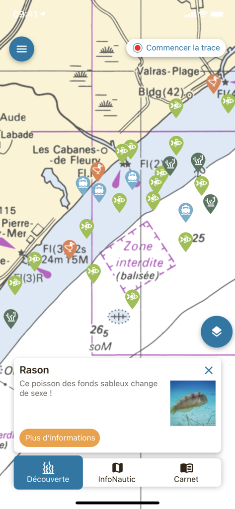
Nav and Co app interface showing a maritime navigation map with biodiversity icons and a popup about a fish
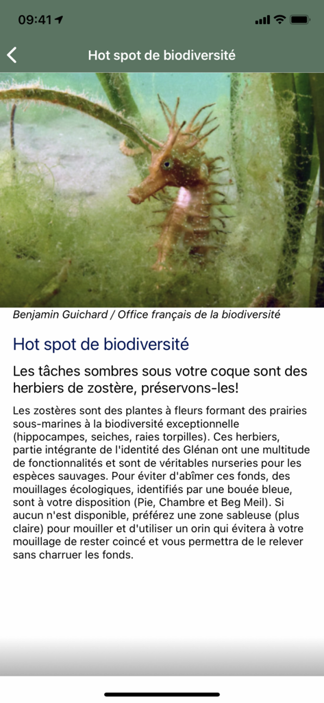
A seahorse in seagrass on a biodiversity educational screen of the Nav and Co app.
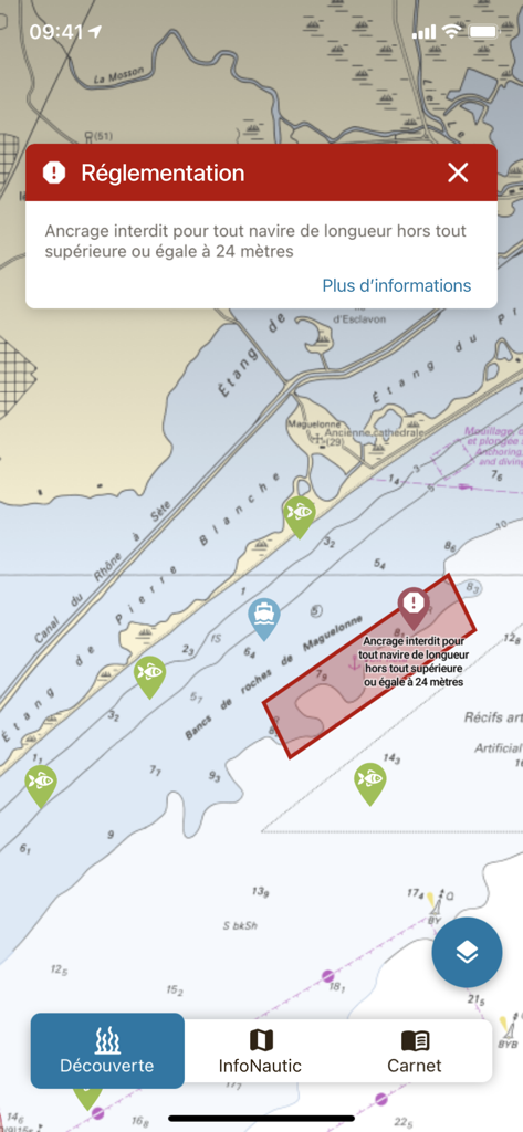
Maritime navigation map showing a regulation alert for prohibited anchoring in a specific zone
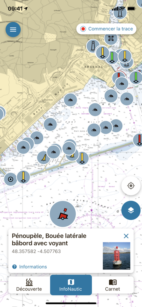
Nav and Co app interface displaying a maritime navigation map with a port lateral buoy information card

Side menu of the Nav and Co app listing navigation and environmental conservation features
Description
Download
More Like This
Top-ranked apps in the same category

Google Maps
Google LLC

Waze Navigation & Live Traffic
waze

AMap Global
AutoNavi Information Technology Co. Ltd.

百度地图-路线规划,出行必备
Beijing Baidu Netcom Science & Technology Co.,Ltd

Moovit: Bus & Transit Tracker
Moovit App Global LTD

Transit • Subway & Bus Times
9280-0366 Quebec inc.

ParkMobile: Park. Pay. Go.
Parkmobile USA, Inc

腾讯地图-路线规划,导航地铁打车出行
Shenzhen Tencent Computer Systems Company Limited

Île-de-France Mobilités
Ile de France Mobilites
This page is not an official page of the app or its developer, but an independent editorial publication created for informational and commentary purposes. Unless expressly stated otherwise, neither the app nor its developer is affiliated with, endorsed by, sponsored by, authorized by, or otherwise officially connected with MWM, Apple, Google Play, the app publisher, or the app's developer, and nothing on this page implies that the app was developed using MWM's services. Any trademarks, logos, screenshots, and other content remain the property of their respective owners.