This page is not an official page of the app or its developer, but an independent editorial publication created for informational and commentary purposes. Unless expressly stated otherwise, neither the app nor its developer is affiliated with, endorsed by, sponsored by, authorized by, or otherwise officially connected with MWM, Apple, Google Play, the app publisher, or the app's developer, and nothing on this page implies that the app was developed using MWM's services. Any trademarks, logos, screenshots, and other content remain the property of their respective owners.

Public transport map Valencia
Navigate the metro, trams, and buses with ease. Find transfer stations, search routes, and explore the city with confidence using high-detail maps that work perfectly without Wi-Fi or data.
Downloads
0User Rating
Total Ratings
0Publisher
Category
NavigationLocales
1Latest Version
4.2Size
88.1 MBFirst Released
Dec 31, 2024Master Valencia's Transit System
The ultimate companion for the independent explorer. Navigate the city's metro, trams, and buses with a single, high-detail interactive map designed for your smartphone.
Full Offline Freedom
Save on international roaming fees. Access the entire transport network and schedules without needing a data connection or searching for Wi-Fi.
All-in-One Network View
Stop switching between confusing apps. Visualize metro, tram, and bus routes in one place, including detailed transfer points for a seamless journey.
The following screenshots and description are sourced directly from the app's official store listing and are the property of the app developer.
App Store
Screenshots
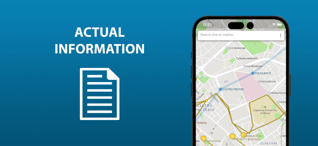
Public transport map on a smartphone screen showing actual information
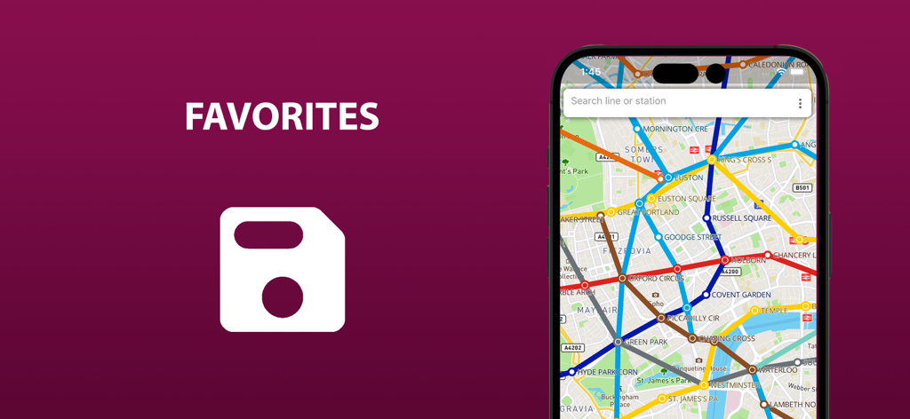
Screenshot of the Valencia public transport app highlighting the favorites feature and showing a detailed transit map on a smartphone
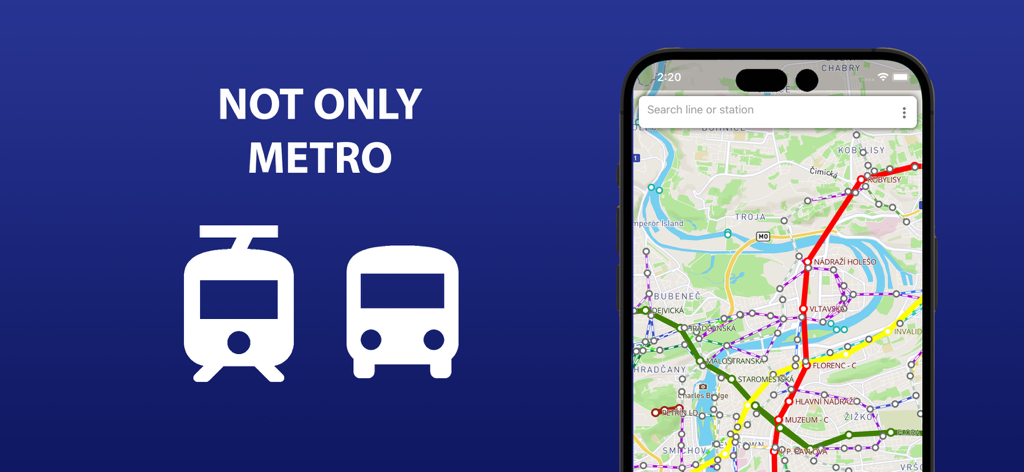
Valencia public transport map interface showing metro bus and tram lines
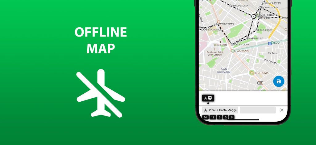
Offline map feature of the Valencia public transport app showing transit routes and an airplane mode icon
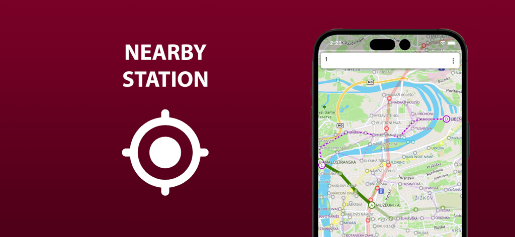
Smartphone displaying the Valencia public transport map with nearby stations highlighted.
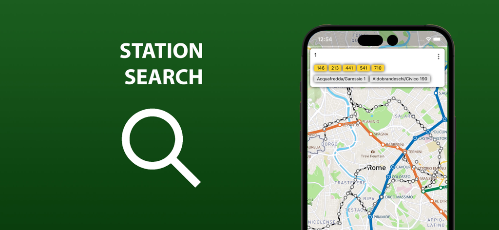
Search interface for stations and routes in the Valencia transport map app
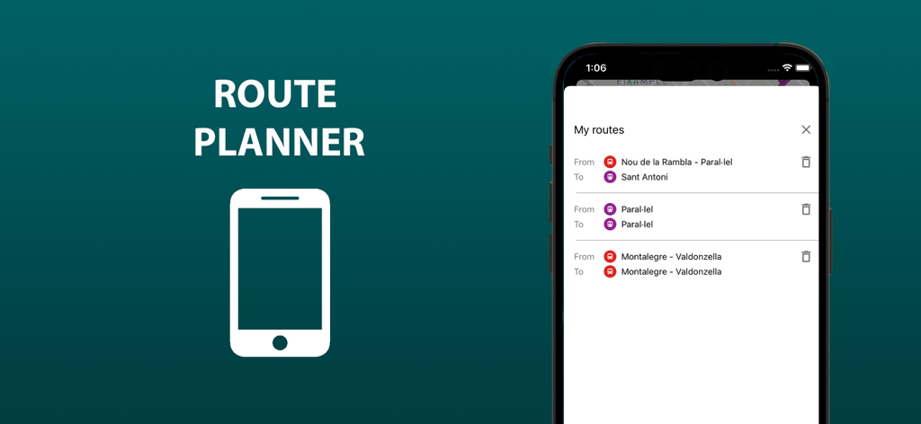
Interface for planning and saving public transport routes in Valencia
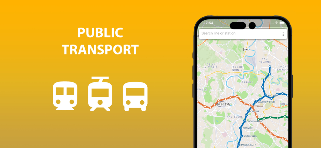
Smartphone displaying a public transport map with metro tram and bus icons on a yellow background
Description
Download
More Like This
Top-ranked apps in the same category

Google Maps
Google LLC

AMap Global
AutoNavi Information Technology Co. Ltd.

Waze Navigation & Live Traffic
waze

百度地图-路线规划,出行必备
Beijing Baidu Netcom Science & Technology Co.,Ltd

Moovit: Bus & Transit Tracker
Moovit App Global LTD

Transit • Subway & Bus Times
9280-0366 Quebec inc.

MapXplorer: Map Radar Navigate
GOLDLAB APPLICATIONS YAZILIM VE BILISIM ANONIM SIRKETI

腾讯地图-路线规划,导航地铁打车出行
Shenzhen Tencent Computer Systems Company Limited

ParkMobile: Park. Pay. Go.
Parkmobile USA, Inc
This page is not an official page of the app or its developer, but an independent editorial publication created for informational and commentary purposes. Unless expressly stated otherwise, neither the app nor its developer is affiliated with, endorsed by, sponsored by, authorized by, or otherwise officially connected with MWM, Apple, Google Play, the app publisher, or the app's developer, and nothing on this page implies that the app was developed using MWM's services. Any trademarks, logos, screenshots, and other content remain the property of their respective owners.