This page is not an official page of the app or its developer, but an independent editorial publication created for informational and commentary purposes. Unless expressly stated otherwise, neither the app nor its developer is affiliated with, endorsed by, sponsored by, authorized by, or otherwise officially connected with MWM, Apple, Google Play, the app publisher, or the app's developer, and nothing on this page implies that the app was developed using MWM's services. Any trademarks, logos, screenshots, and other content remain the property of their respective owners.

Radar Pro
Access raw, unfiltered data directly from the National Weather Service. No smoothing, no compromises—just pure, high-precision radar for power users who demand the tactical truth.
Downloads
161K+User Rating
Total Ratings
400Publisher
Category
WeatherLocales
1Latest Version
1.5.1Size
13.3 MBFirst Released
Mar 4, 2011Tactical Weather Intelligence
Bypass the smoothed graphics of casual apps. Radar Pro delivers raw, high-fidelity NEXRAD Level 3 data direct from the NWS for users who demand professional accuracy.
Zero Data Smoothing
Experience the raw truth of every storm cell. We deliver data in its original format to ensure you see the most accurate precipitation density and hail cores.
Real-Time Motion Loops
Instantly animate storm paths to predict movement. High-speed loops allow you to track velocity and direction with surgical precision over highways and counties.
The following screenshots and description are sourced directly from the app's official store listing and are the property of the app developer.
App Store
Screenshots
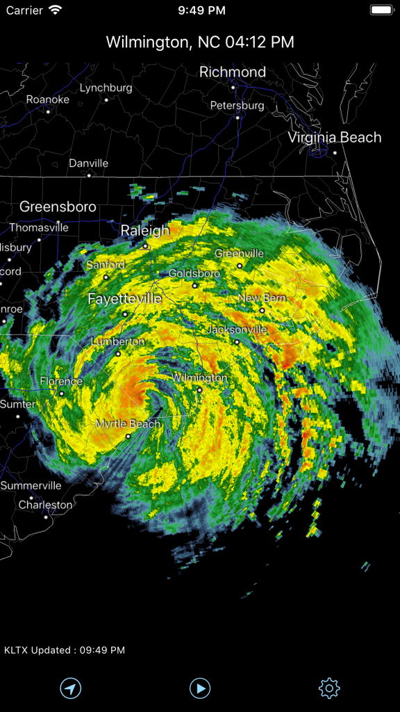
Radar Pro app showing NEXRAD Level 3 weather data with storm tracking over North Carolina
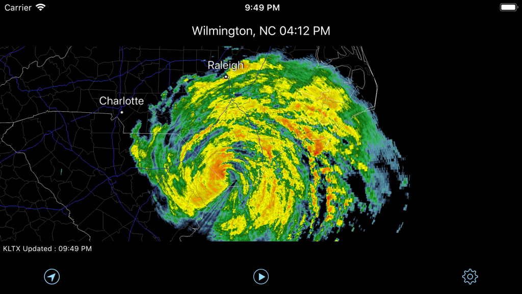
Radar Pro app showing a detailed storm system on a NEXRAD radar map over North Carolina
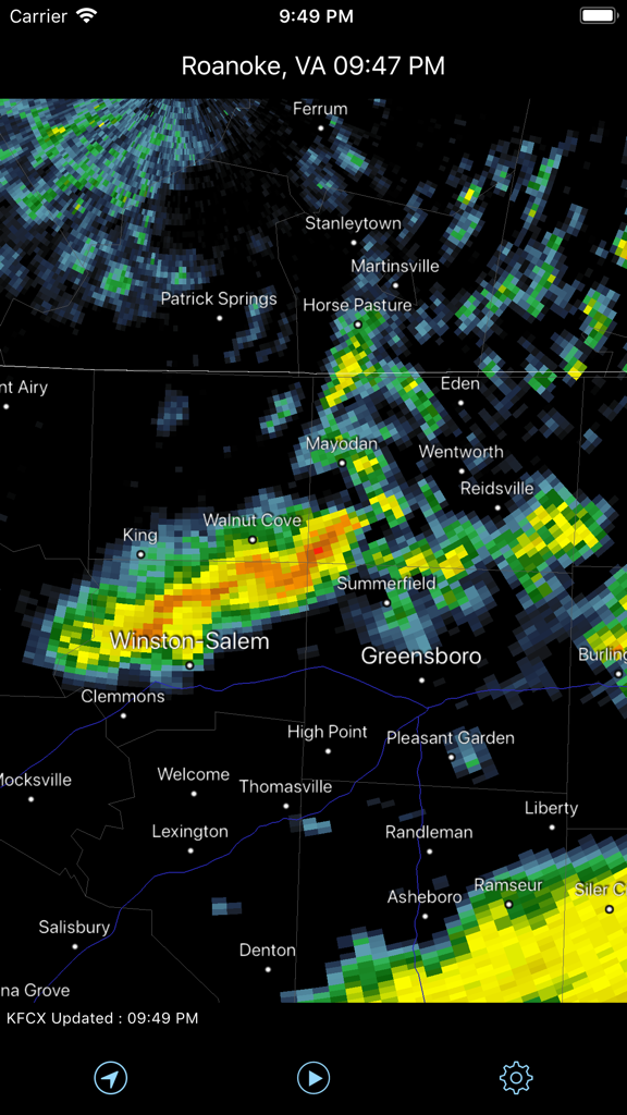
Radar Pro app displaying raw NEXRAD Level 3 precipitation data over North Carolina and Virginia
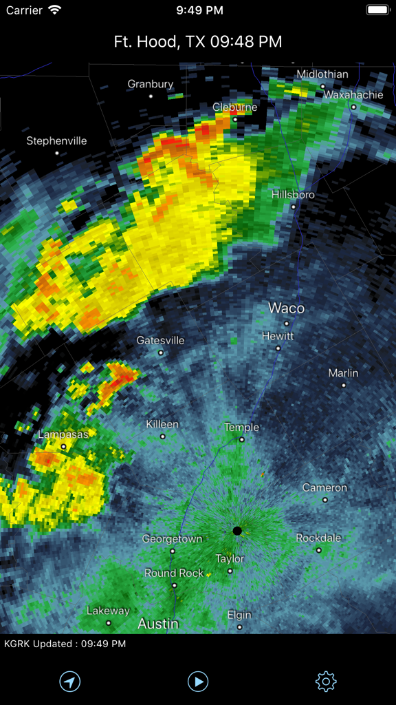
Radar Pro app displaying live NEXRAD weather radar over Central Texas
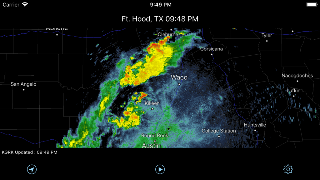
NEXRAD weather radar map of Central Texas showing precipitation over Waco and Austin
Description
Download
More Like This
Apps with similar features and user experience

墨迹天气-MojiWeather
Beijing MojiFengyun Technology Co.,Ltd.

Windy.com
Windyty, SE

天气通
Weibo Internet Technology (China) Co.Ltd.

Zoom Earth - Weather Forecast
Neave Interactive Limited

实时天气-40日精准天气实时预报
犇 牛

MyRadar Accurate Weather Radar
Aviation Data Systems, Inc

Ventusky: Weather & Live Radar
Ventusky s.r.o.

FOX Weather: Daily Forecasts
Fox News Network, LLC

2345天气王-天气和空气质量查询小组件
Shanghai 2345 Network Technology Co., Ltd.
This page is not an official page of the app or its developer, but an independent editorial publication created for informational and commentary purposes. Unless expressly stated otherwise, neither the app nor its developer is affiliated with, endorsed by, sponsored by, authorized by, or otherwise officially connected with MWM, Apple, Google Play, the app publisher, or the app's developer, and nothing on this page implies that the app was developed using MWM's services. Any trademarks, logos, screenshots, and other content remain the property of their respective owners.