This page is not an official page of the app or its developer, but an independent editorial publication created for informational and commentary purposes. Unless expressly stated otherwise, neither the app nor its developer is affiliated with, endorsed by, sponsored by, authorized by, or otherwise officially connected with MWM, Apple, Google Play, the app publisher, or the app's developer, and nothing on this page implies that the app was developed using MWM's services. Any trademarks, logos, screenshots, and other content remain the property of their respective owners.

VNAV Guide
Stop doing mental math under pressure. Automatically calculate your Top of Descent and monitor your vertical path in real-time for safer, professional-grade arrivals.
Downloads
0User Rating
Total Ratings
0Publisher
Category
NavigationLocales
1Latest Version
26.0Size
5.5 MBFirst Released
Feb 17, 2026Precision Descent Planning Made Simple
Eliminate cockpit workload and fly professional, stabilized approaches. VNAV Guide brings modern vertical navigation intelligence to any General Aviation cockpit.
Automated Top of Descent
Stop doing mental 3-to-1 math in a busy cockpit. Automatically calculate your Top of Descent (TOD) point based on your cruise altitude, target elevation, and groundspeed.
Live Vertical Path Tracking
Maintain situational awareness with a continuous display of your height relative to the selected slope. Know exactly if you are high or low throughout the entire descent.
The following screenshots and description are sourced directly from the app's official store listing and are the property of the app developer.
App Store
Screenshots

Screenshot of the VNAV Guide app interface showing real-time flight descent monitoring data.
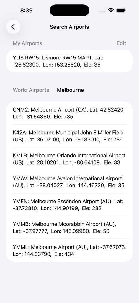
A search results list of airports with geographic coordinates and elevation data in the VNAV Guide app
Description
Download
More Like This
Top-ranked apps in the same category

Google Maps
Google LLC

AMap Global
AutoNavi Information Technology Co. Ltd.

Waze Navigation & Live Traffic
waze

百度地图-路线规划,出行必备
Beijing Baidu Netcom Science & Technology Co.,Ltd

Moovit: Bus & Transit Tracker
Moovit App Global LTD

腾讯地图-路线规划,导航地铁打车出行
Shenzhen Tencent Computer Systems Company Limited

Transit • Subway & Bus Times
9280-0366 Quebec inc.

ParkMobile: Park. Pay. Go.
Parkmobile USA, Inc

NAVER Maps, Navigation
NAVER Corp.
This page is not an official page of the app or its developer, but an independent editorial publication created for informational and commentary purposes. Unless expressly stated otherwise, neither the app nor its developer is affiliated with, endorsed by, sponsored by, authorized by, or otherwise officially connected with MWM, Apple, Google Play, the app publisher, or the app's developer, and nothing on this page implies that the app was developed using MWM's services. Any trademarks, logos, screenshots, and other content remain the property of their respective owners.