This page is not an official page of the app or its developer, but an independent editorial publication created for informational and commentary purposes. Unless expressly stated otherwise, neither the app nor its developer is affiliated with, endorsed by, sponsored by, authorized by, or otherwise officially connected with MWM, Apple, Google Play, the app publisher, or the app's developer, and nothing on this page implies that the app was developed using MWM's services. Any trademarks, logos, screenshots, and other content remain the property of their respective owners.

Wasatch Backcountry Skiing Map
Navigate over 1,000 backcountry locations with high-resolution topo maps and GPS tracking that work entirely offline. Access essential data on skinning distances, vertical climbs, and parking considerations—no cell service required.
Downloads
46K+User Rating
Total Ratings
500Publisher
Category
NavigationLocales
1Latest Version
3.5.0Size
88.9 MBFirst Released
Oct 1, 2013Master the Central Wasatch
The digital companion to Utah's most trusted backcountry map, providing the essential data and navigation tools required for safe mountain travel.
1,000+ Local Locations
Access the most comprehensive index of Utah’s peaks, bowls, and glades with high-resolution topo maps and local site photography.
Precision Tour Planning
Plan your day with detailed stats on skiing difficulty, skinning distance, vertical gain, and critical parking considerations.
The following screenshots and description are sourced directly from the app's official store listing and are the property of the app developer.
App Store
Screenshots
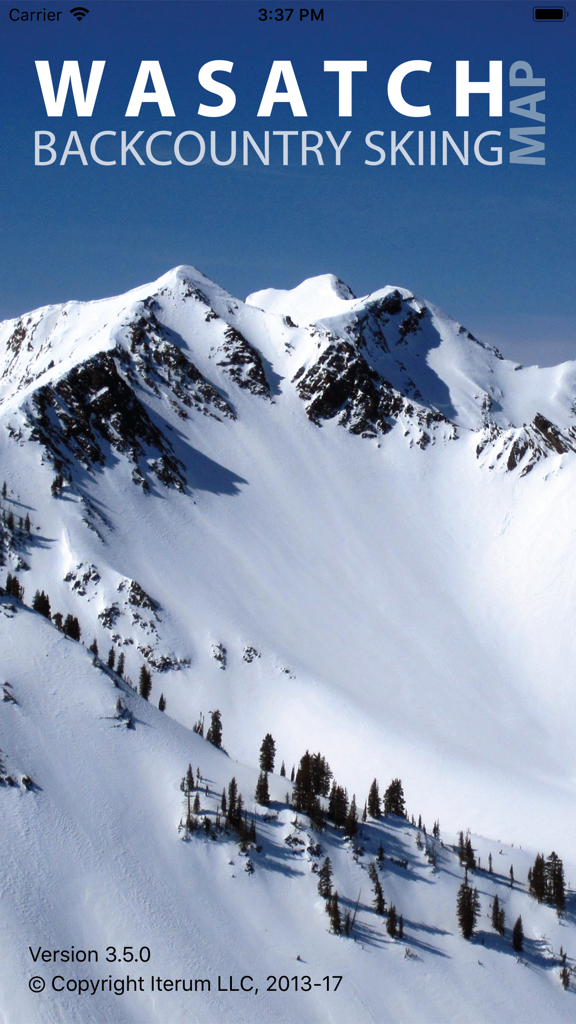
Splash screen of the Wasatch Backcountry Skiing Map app showing a snow covered mountain peak
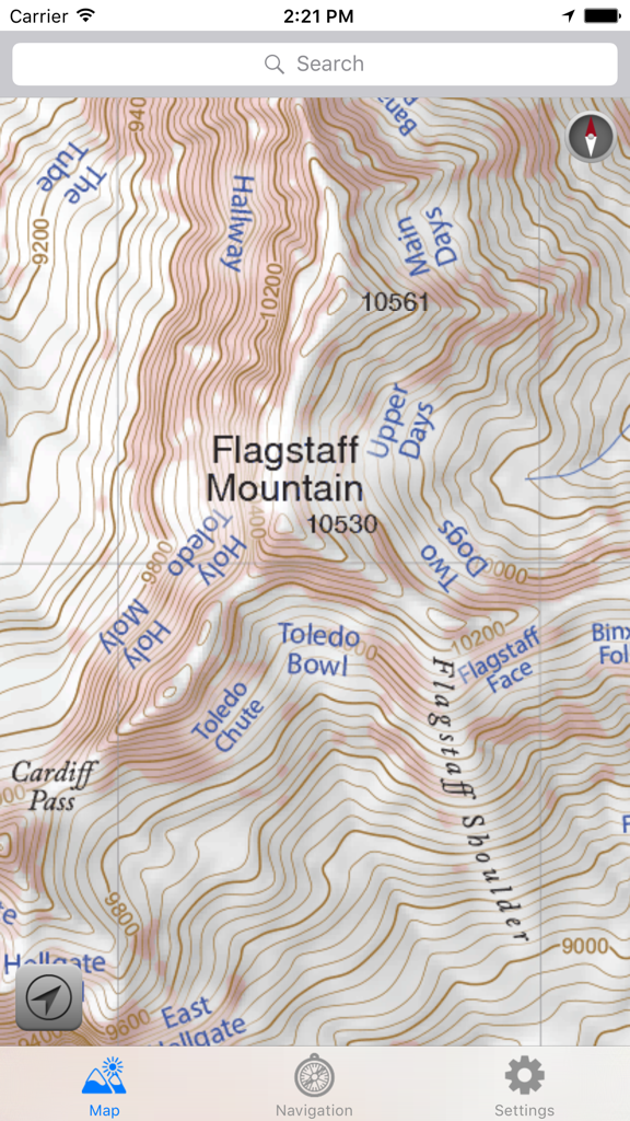
Topographic map of Flagstaff Mountain showing labeled backcountry ski locations in Utah.
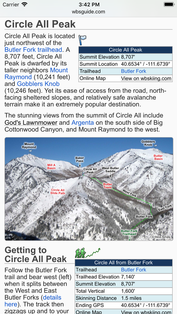
Technical details and annotated terrain photo for Circle All Peak in the Wasatch Mountains.

Navigation screen showing a digital compass with a destination arrow pointing to Toledo Bowl in the Wasatch Backcountry Skiing app.
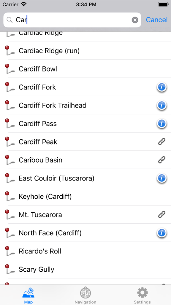
Search interface showing a list of backcountry ski locations like Cardiac Ridge and Cardiff Fork.
Description
Download
More Like This
Top-ranked apps in the same category

Google Maps
Google LLC

Waze Navigation & Live Traffic
waze

AMap Global
AutoNavi Information Technology Co. Ltd.

百度地图-路线规划,出行必备
Beijing Baidu Netcom Science & Technology Co.,Ltd

Moovit: Bus & Transit Tracker
Moovit App Global LTD

Transit • Subway & Bus Times
9280-0366 Quebec inc.

ParkMobile: Park. Pay. Go.
Parkmobile USA, Inc

腾讯地图-路线规划,导航地铁打车出行
Shenzhen Tencent Computer Systems Company Limited

Île-de-France Mobilités
Ile de France Mobilites
This page is not an official page of the app or its developer, but an independent editorial publication created for informational and commentary purposes. Unless expressly stated otherwise, neither the app nor its developer is affiliated with, endorsed by, sponsored by, authorized by, or otherwise officially connected with MWM, Apple, Google Play, the app publisher, or the app's developer, and nothing on this page implies that the app was developed using MWM's services. Any trademarks, logos, screenshots, and other content remain the property of their respective owners.