This page is not an official page of the app or its developer, but an independent editorial publication created for informational and commentary purposes. Unless expressly stated otherwise, neither the app nor its developer is affiliated with, endorsed by, sponsored by, authorized by, or otherwise officially connected with MWM, Apple, Google Play, the app publisher, or the app's developer, and nothing on this page implies that the app was developed using MWM's services. Any trademarks, logos, screenshots, and other content remain the property of their respective owners.

West Highland Way Map
Master your 96-mile journey with a specialized, fully offline topographic guide. Track your GPS location, elevation, and progress—no data or signal required.
Downloads
6K+User Rating
Total Ratings
0Publisher
Category
ReferenceLocales
1Latest Version
1.1.0Size
59.8 MBFirst Released
Aug 27, 2019Navigate the Highlands with Confidence
The ultimate offline companion for your 96-mile journey through Scotland’s most iconic trail, designed for reliability when you're off the grid.
100% Offline Reliability
No data, no roaming, no stress. Access full topographic maps without cell service, ensuring safety in the most remote glens.
Precision GPS Tracking
Stay exactly on the 'Way' with live location tracking on the highlighted route, even when you are in airplane mode.
The following screenshots and description are sourced directly from the app's official store listing and are the property of the app developer.
App Store
Screenshots
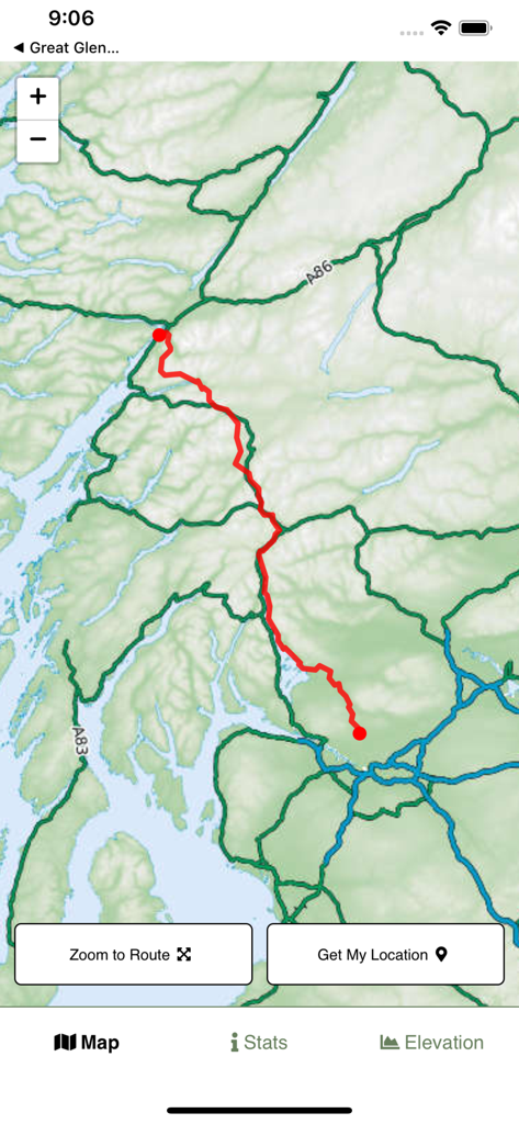
Topographic map of the West Highland Way hiking trail with the route highlighted in red.
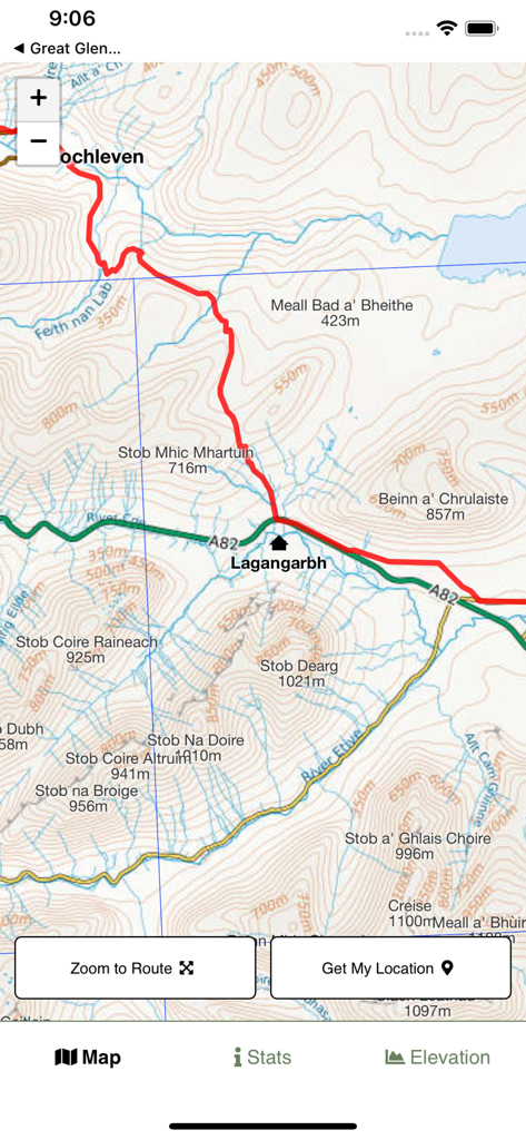
Topographic map interface showing the West Highland Way hiking route with peaks and terrain contours
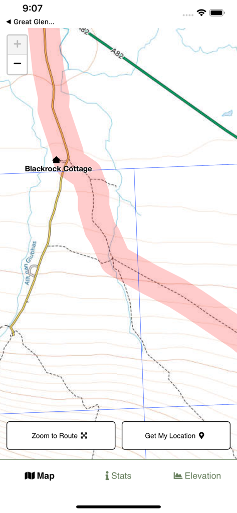
Topographic map view of the West Highland Way trail showing the highlighted hiking route and local landmarks like Blackrock Cottage.
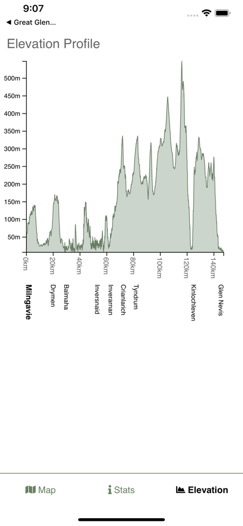
A detailed elevation profile of the West Highland Way hike showing peaks and valleys between Milngavie and Glen Nevis
Description
Download
More Like This
Top-ranked apps in the same category

Google Translate
Google LLC

火箭沙盒
P2E CO., LTD.

Bible
Life.Church

Bible Chat: Daily Devotional
BookVitals APP SRL

Youdao Dictionary
Beijing NetEase Youdao Computer System Co.,Ltd

Translate Now - AI Translator
AIR APPS SYSTEMS, UNIPESSOAL, LDA

Naver Papago - AI Translator
NAVER Corp.

ΗiΤV - Endless Movies & Shows
学 张

Live Translator - AI Translate
DigitalSail (HK) Limited
This page is not an official page of the app or its developer, but an independent editorial publication created for informational and commentary purposes. Unless expressly stated otherwise, neither the app nor its developer is affiliated with, endorsed by, sponsored by, authorized by, or otherwise officially connected with MWM, Apple, Google Play, the app publisher, or the app's developer, and nothing on this page implies that the app was developed using MWM's services. Any trademarks, logos, screenshots, and other content remain the property of their respective owners.