This page is not an official page of the app or its developer, but an independent editorial publication created for informational and commentary purposes. Unless expressly stated otherwise, neither the app nor its developer is affiliated with, endorsed by, sponsored by, authorized by, or otherwise officially connected with MWM, Apple, Google Play, the app publisher, or the app's developer, and nothing on this page implies that the app was developed using MWM's services. Any trademarks, logos, screenshots, and other content remain the property of their respective owners.

World History Maps: Ancient
Experience the ancient world from 3000 BCE to 500 BCE with the most detailed year-by-year interactive atlas. Explore shifting borders, legendary battles, and ancient trade routes with high-resolution precision.
Downloads
1K+User Rating
Total Ratings
0Publisher
Category
EducationLocales
1Latest Version
3.0Size
81.5 MBFirst Released
Oct 17, 2016Master the Map of Antiquity
Journey through three millennia of human history with a dynamic, high-precision atlas designed for historians, students, and lifelong learners.
Year-by-Year Precision
Track the rise and fall of empires with unique annual snapshots from 3000 BCE to 500 BCE, offering a chronological accuracy unmatched by static textbooks.
Battles & Infrastructure
Follow the exact routes of ancient campaigns, locate legendary battlefields, and explore the network of roads that built the foundations of trade and empire.
The following screenshots and description are sourced directly from the app's official store listing and are the property of the app developer.
App Store
Screenshots
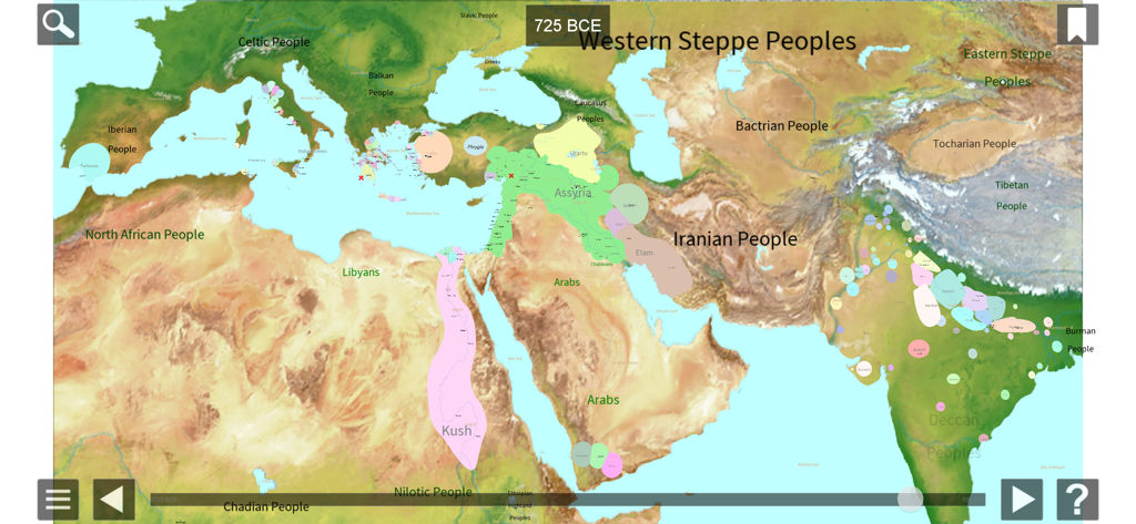
Interactive historical map showing world civilizations and territories in 725 BCE
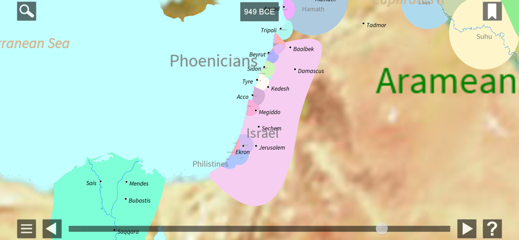
Interactive map showing the Levant and Egypt in 949 BCE with labels for Israel Phoenicia and Arameans
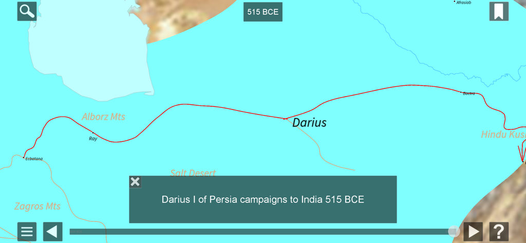
Historical map showing the military campaign of Darius I of Persia to India in 515 BCE
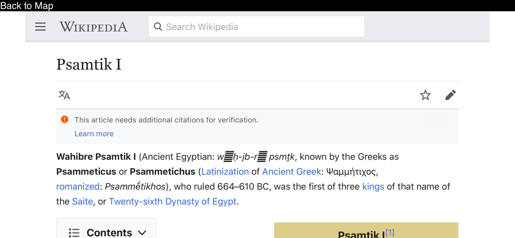
Wikipedia integration showing historical details for Pharaoh Psamtik I in the app
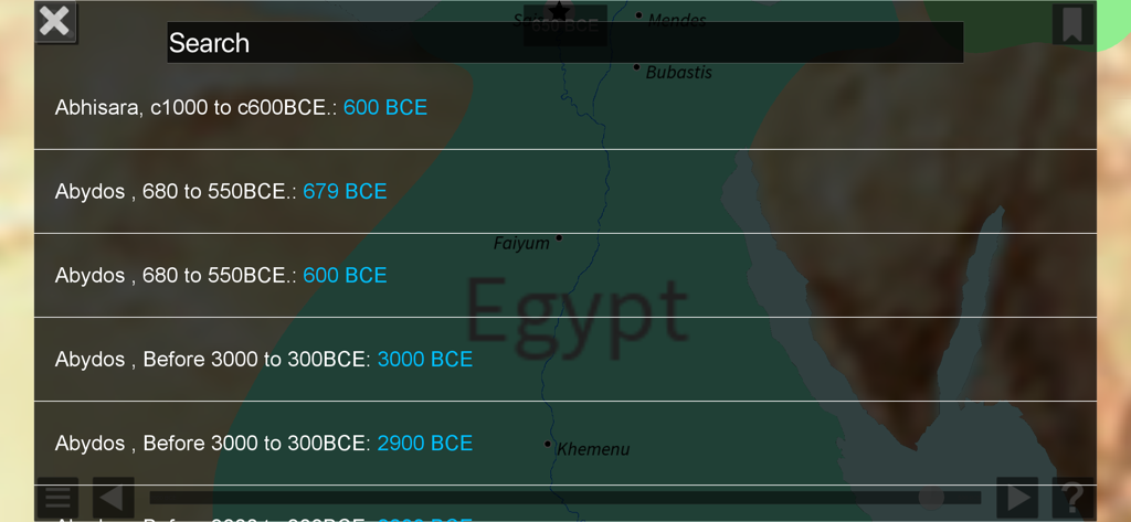
A search interface in the World History Maps app showing historical dates for locations like Abydos over a map of Egypt
Description
Download
More Like This
Top-ranked apps in the same category

Duolingo - Language Lessons
Duolingo, Inc

Speak & Learn English: Learna
DEEP FLOW SOFTWARE SERVICES - FZCO

驾考宝典-科一科四驾驶证考试驾考通
Wuhan Jiakaobaodian Information Service Co., Ltd.

Toca Boca World
Toca Boca AB

Google Classroom
Google LLC

作业帮-中小学家长作业检查和辅导工具
Guangzhou Polar Future Culture Technology Co., Ltd

学信网
Student Information Consultation Service Co., Ltd.

Gauth: AI Study Companion
GAUTHTECH PTE. LTD.

ArtWorkout: Learn How to Draw
Aleksandr Ulitin
This page is not an official page of the app or its developer, but an independent editorial publication created for informational and commentary purposes. Unless expressly stated otherwise, neither the app nor its developer is affiliated with, endorsed by, sponsored by, authorized by, or otherwise officially connected with MWM, Apple, Google Play, the app publisher, or the app's developer, and nothing on this page implies that the app was developed using MWM's services. Any trademarks, logos, screenshots, and other content remain the property of their respective owners.