このページはアプリまたはその開発者の公式ページではなく、情報提供および論評を目的として作成された独立した編集出版物です。明示的に別段の記載がない限り、アプリおよびその開発者は、MWM、Apple、Google Play、アプリのパブリッシャー、またはアプリの開発者と提携、承認、後援、認可、またはその他の公式的な関係はなく、このページのいかなる内容も、アプリがMWMのサービスを使用して開発されたことを意味するものではありません。すべての商標、ロゴ、スクリーンショット、その他のコンテンツはそれぞれの所有者の財産です。

AIS Maps: Marine & Lake charts
ライブAISで近くの船舶をリアルタイムに追跡し、海、湖、公園の詳細なオフラインENCチャートを探索しましょう。現代の冒険家にとって不可欠なオールインワンナビゲーションツールです。
ダウンロード
194K+ユーザー評価
評価数
100開発元
カテゴリ
Navigation対応言語
6最新バージョン
6.4.6サイズ
130.7 MBリリース日
2012年8月1日あらゆる旅をプロのナビゲーションでマスター
沿岸海域を航海する場合でも、隠れた湖を探検する場合でも、国立公園をハイキングする場合でも、当社のオールインワンツールキットは、絶対的な自信を持って探検するために必要な正確なデータを提供します。
ハードウェアなしのライブAIS追跡
機器の費用を数千ドル節約しましょう。携帯電話データのみを使用して、近くの船舶をリアルタイムで監視し、船名、速度、針路をデバイスに直接表示します。
信頼性の高いオフラインベクトルマップ
携帯信号のない海上や遠隔地でも航海しましょう。ズームレベルに関係なく鮮明で詳細なままの、高解像度の海上・湖チャートをダウンロードしましょう。
以下のスクリーンショットと説明は、アプリの公式ストアリスティングから直接取得されたものであり、アプリ開発者の所有物です。
アプリストア
スクリーンショット
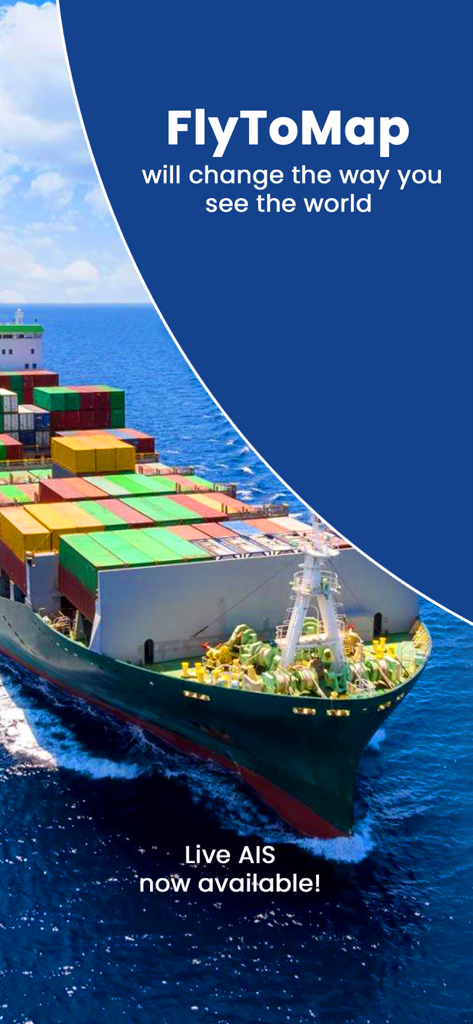
FlyToMapのプロモーション画面。大型貨物船とライブAISの告知が表示されています。
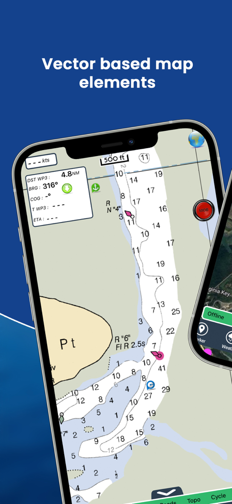
モバイル画面。水深コンターと船舶追跡を備えた詳細なベクトル海図が表示されています。
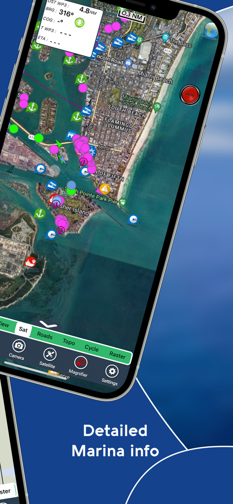
スマートフォン画面。AIS Mapsアプリにマイアミビーチの衛星ビューとさまざまな海洋ナビゲーションアイコンが表示されています。
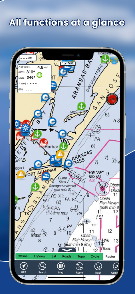
モバイルアプリインターフェイス。AIS船舶追跡を備えた海図が表示されています。
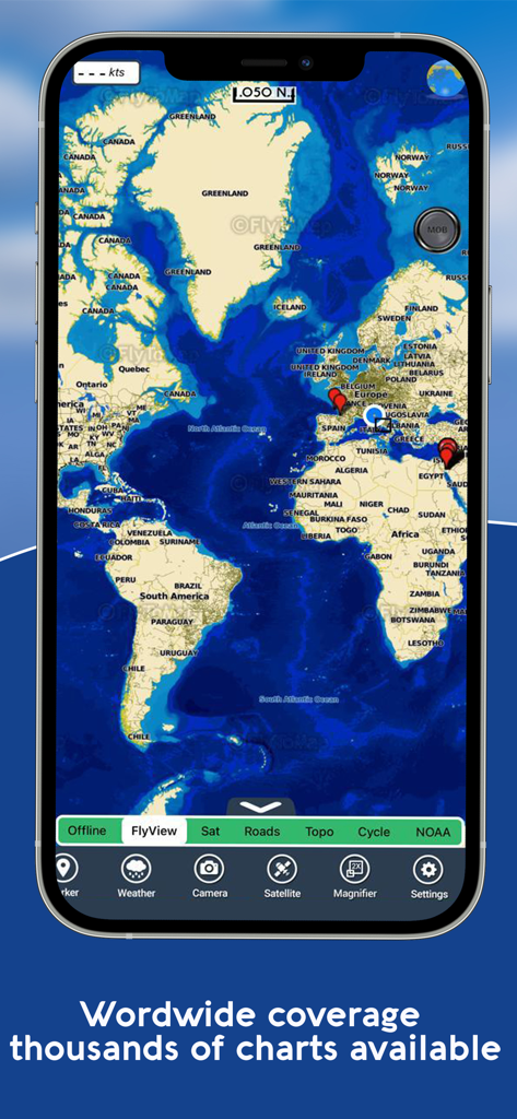
スマートフォン画面。海洋ナビゲーションマーカーと数千のチャートが表示された世界地図が表示されています。
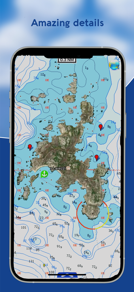
AIS Mapsアプリの水深コンターと衛星画像を示す詳細な海図。
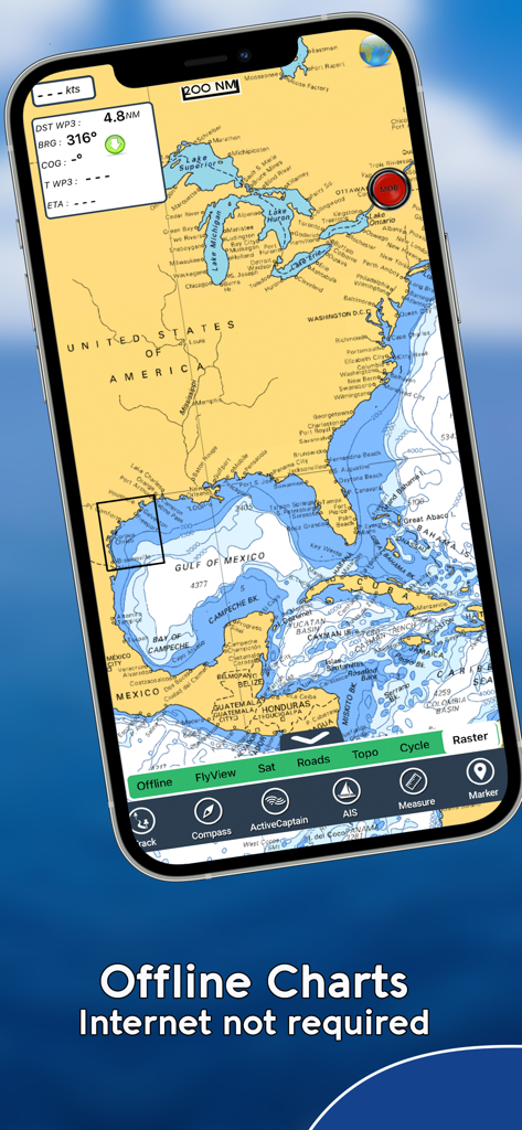
AIS Mapsモバイルアプリに、オフラインナビゲーション機能を備えた北米の海図が表示されています。
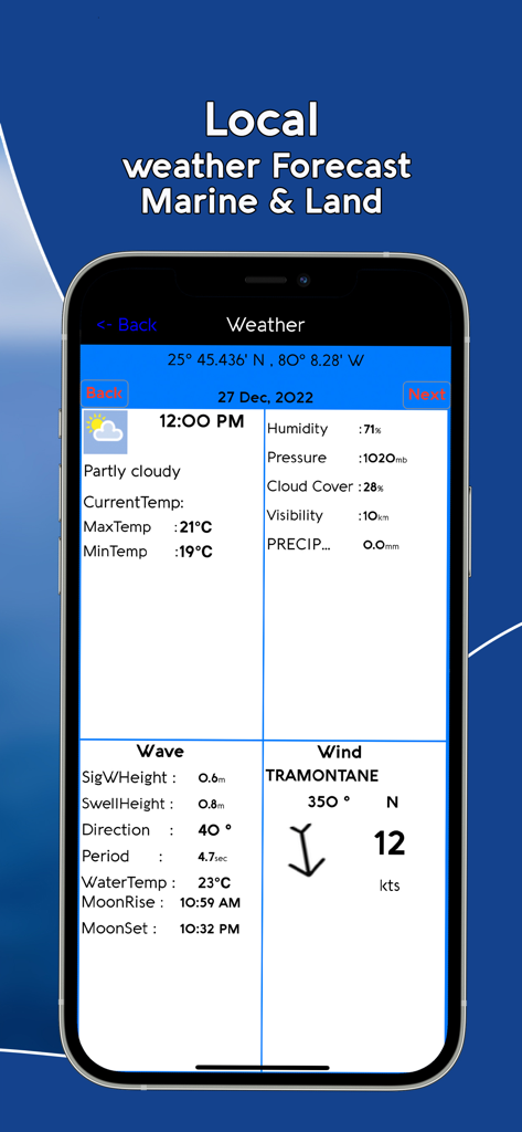
スマートフォン画面。風と波のデータを含む詳細な海上・陸上天気予報が表示されています。
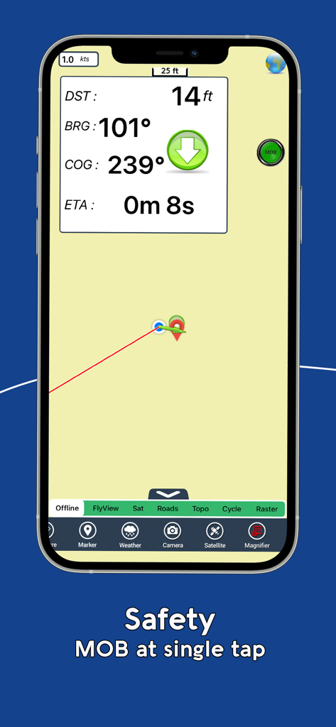
AIS Mapsアプリインターフェイス。マン・オーバーボード(海難者)安全機能とリアルタイムナビゲーションデータが表示されています。
説明
Download
類似アプリ
似た機能とユーザー体験を持つアプリ

PredictWind — Marine Forecasts
PredictWind Limited

Navily
The Navigation Family

Argo - Boating Navigation
Argo Navigation, LLC

SEAiq Pilot
Sakhalin, LLC

Maptrails
Pasi Salenius

KartenWerft NavGo 2.0
KartenWerft GmbH

MarineTraffic - Ship Tracking
MARINETRAFFIC APPLICATIONS LTD

Wavve Boating: Marine Boat GPS
Wavve Boating Inc

Savvy Navvy Boating Navigation
SAVVY NAVVY LTD
このページはアプリまたはその開発者の公式ページではなく、情報提供および論評を目的として作成された独立した編集出版物です。明示的に別段の記載がない限り、アプリおよびその開発者は、MWM、Apple、Google Play、アプリのパブリッシャー、またはアプリの開発者と提携、承認、後援、認可、またはその他の公式的な関係はなく、このページのいかなる内容も、アプリがMWMのサービスを使用して開発されたことを意味するものではありません。すべての商標、ロゴ、スクリーンショット、その他のコンテンツはそれぞれの所有者の財産です。