This page is not an official page of the app or its developer, but an independent editorial publication created for informational and commentary purposes. Unless expressly stated otherwise, neither the app nor its developer is affiliated with, endorsed by, sponsored by, authorized by, or otherwise officially connected with MWM, Apple, Google Play, the app publisher, or the app's developer, and nothing on this page implies that the app was developed using MWM's services. Any trademarks, logos, screenshots, and other content remain the property of their respective owners.

AIS Maps: Marine & Lake charts
Track nearby vessels in real-time with Live AIS and explore detailed offline ENC charts for seas, lakes, and parks. The essential all-in-one navigation tool for the modern adventurer.
Downloads
194K+User Rating
Total Ratings
100Publisher
Category
NavigationLocales
6Latest Version
6.4.6Size
130.7 MBFirst Released
Aug 1, 2012Master Every Journey with Professional Navigation
Whether you are navigating coastal waters, exploring hidden lakes, or hiking national parks, our all-in-one toolkit provides the precise data you need to explore with absolute confidence.
Live AIS Tracking Without the Hardware
Save thousands on equipment. Monitor nearby vessels in real-time, viewing ship names, speeds, and headings directly on your device using only your cellular data.
Reliable Offline Vector Maps
Navigate offshore and in remote wilderness without a cell signal. Download high-resolution marine and lake charts that remain crisp and detailed at any zoom level.
The following screenshots and description are sourced directly from the app's official store listing and are the property of the app developer.
App Store
Screenshots
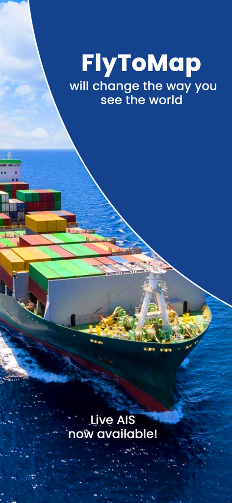
Promotional screen for FlyToMap featuring a large cargo ship and Live AIS announcement
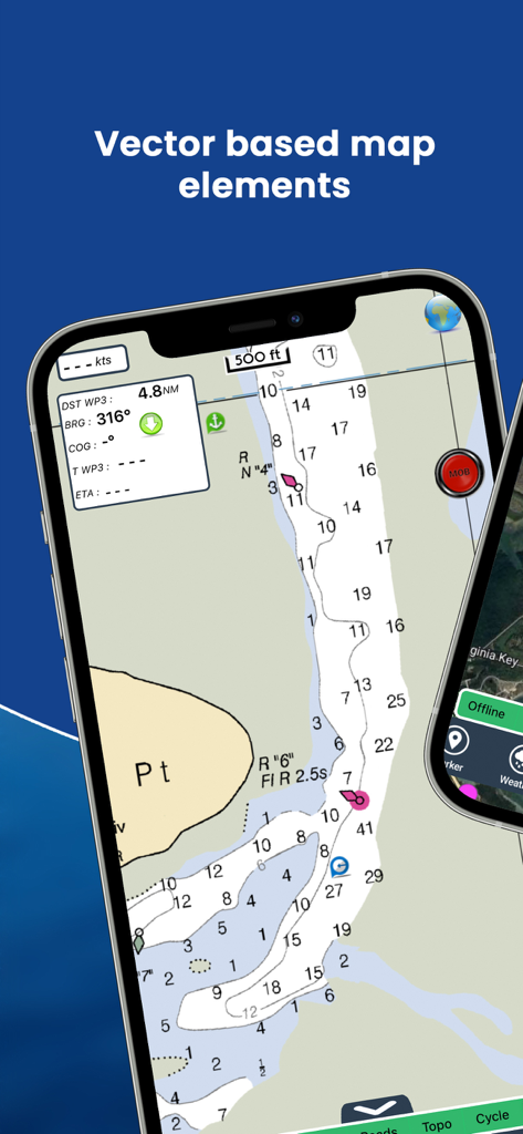
Mobile screen showing a detailed vector marine navigation chart with depth contours and vessel tracking
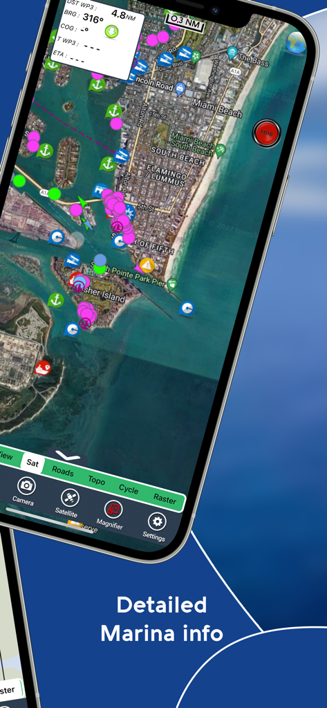
Smartphone screen showing the AIS Maps app with a satellite view of Miami Beach and various marine navigation icons.
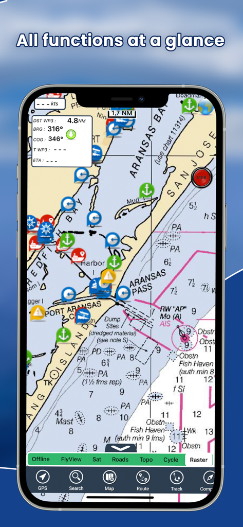
Mobile app interface showing nautical charts with AIS vessel tracking
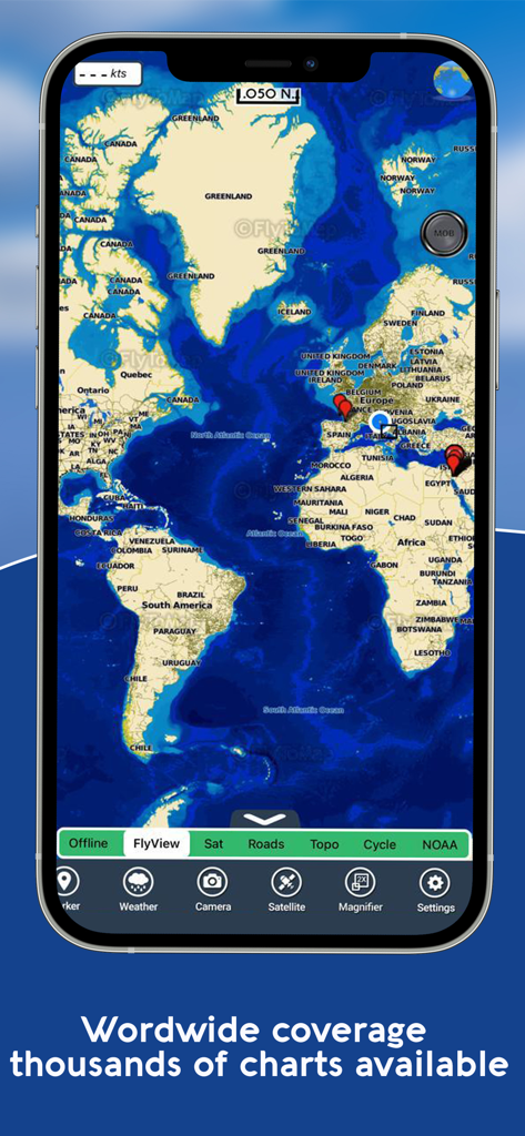
Smartphone screen displaying a world map with marine navigation markers and thousands of charts available
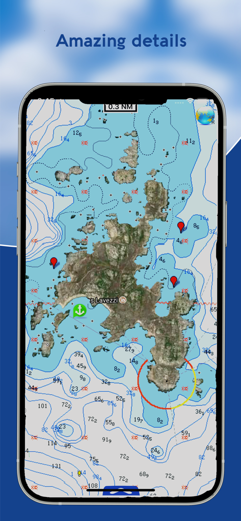
A detailed marine navigation chart showing depth contours and satellite imagery in the AIS Maps app.
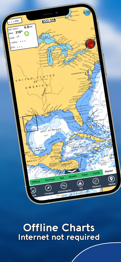
AIS Maps mobile app displaying a marine chart of North America with offline navigation features
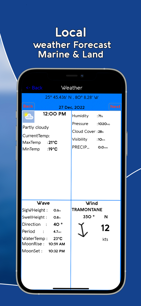
Smartphone screen showing detailed marine and land weather forecast with wind and wave data
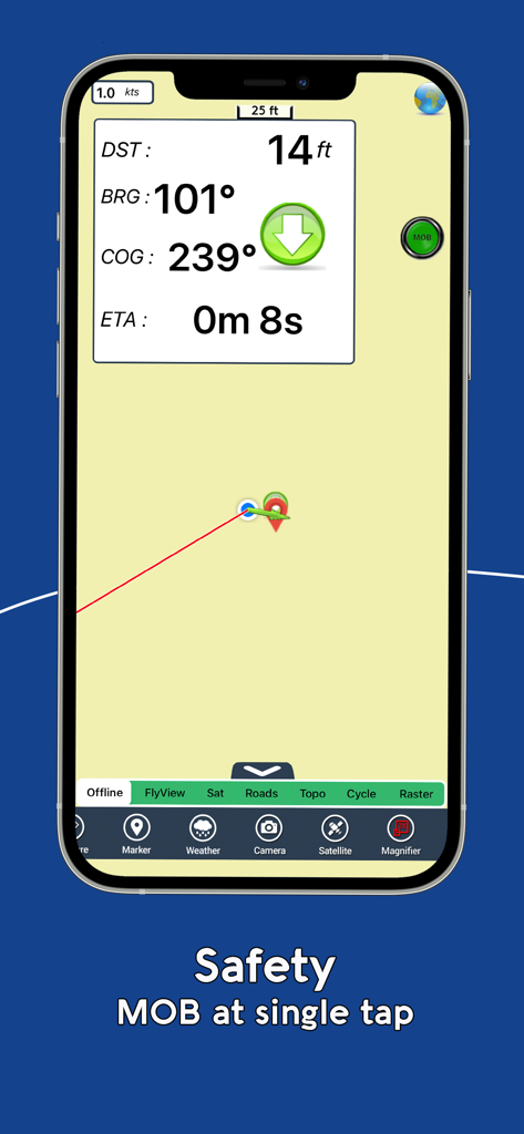
AIS Maps app interface showing the Man Overboard safety feature and real-time navigation data
Description
Download
More Like This
Apps with similar features and user experience

PredictWind — Marine Forecasts
PredictWind Limited

Navily
The Navigation Family

Argo - Boating Navigation
Argo Navigation, LLC

SEAiq Pilot
Sakhalin, LLC

Maptrails
Pasi Salenius

KartenWerft NavGo 2.0
KartenWerft GmbH

MarineTraffic - Ship Tracking
MARINETRAFFIC APPLICATIONS LTD

Wavve Boating: Marine Boat GPS
Wavve Boating Inc

Savvy Navvy Boating Navigation
SAVVY NAVVY LTD
This page is not an official page of the app or its developer, but an independent editorial publication created for informational and commentary purposes. Unless expressly stated otherwise, neither the app nor its developer is affiliated with, endorsed by, sponsored by, authorized by, or otherwise officially connected with MWM, Apple, Google Play, the app publisher, or the app's developer, and nothing on this page implies that the app was developed using MWM's services. Any trademarks, logos, screenshots, and other content remain the property of their respective owners.