This page is not an official page of the app or its developer, but an independent editorial publication created for informational and commentary purposes. Unless expressly stated otherwise, neither the app nor its developer is affiliated with, endorsed by, sponsored by, authorized by, or otherwise officially connected with MWM, Apple, Google Play, the app publisher, or the app's developer, and nothing on this page implies that the app was developed using MWM's services. Any trademarks, logos, screenshots, and other content remain the property of their respective owners.

GPS & Map Toolbox
The ultimate location database to organize coordinates, calculate areas, and export field data with military-grade accuracy. Built for surveyors, engineers, and serious outdoor specialists who demand professional utility.
Downloads
276K+User Rating
Total Ratings
100Publisher
Category
NavigationLocales
1Latest Version
3.0.2Size
27.0 MBFirst Released
May 31, 2011Professional-Grade Field Data Management
A robust toolkit designed for precision mapping, location logging, and advanced geospatial analysis in the field.
Multi-Format Coordinate Precision
Switch instantly between MGRS, UTM, USNG, and more. Essential for military, search and rescue, and professional surveying accuracy.
Seamless Workflow Integration
Export your datasets as GPX, KML, or CSV files. Move your field data directly to ArcGIS, Google Earth, or Excel without friction.
The following screenshots and description are sourced directly from the app's official store listing and are the property of the app developer.
App Store
Screenshots
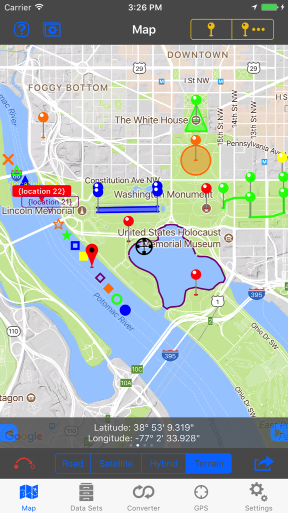
GPS and Map Toolbox app showing various colored markers and area calculations on a map of Washington DC
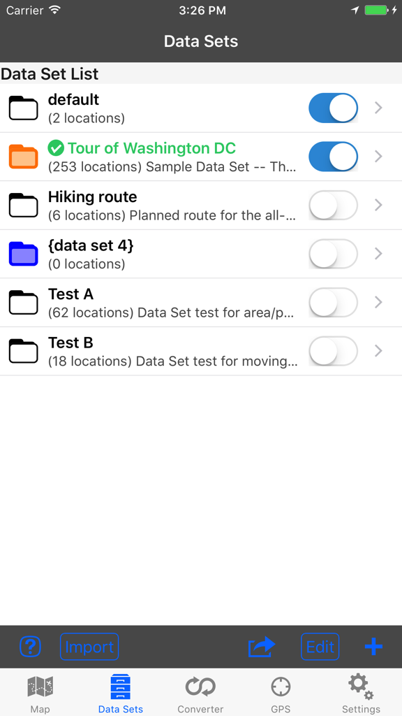
GPS and Map Toolbox interface showing a list of location data sets and folders
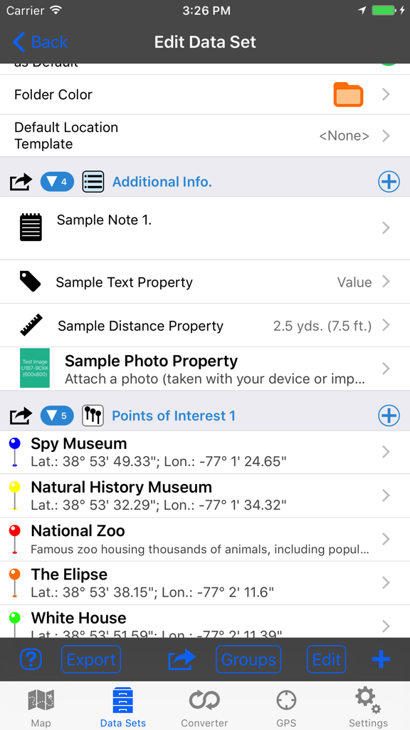
Interface of the GPS and Map Toolbox app showing a list of locations with coordinate details and custom data properties.
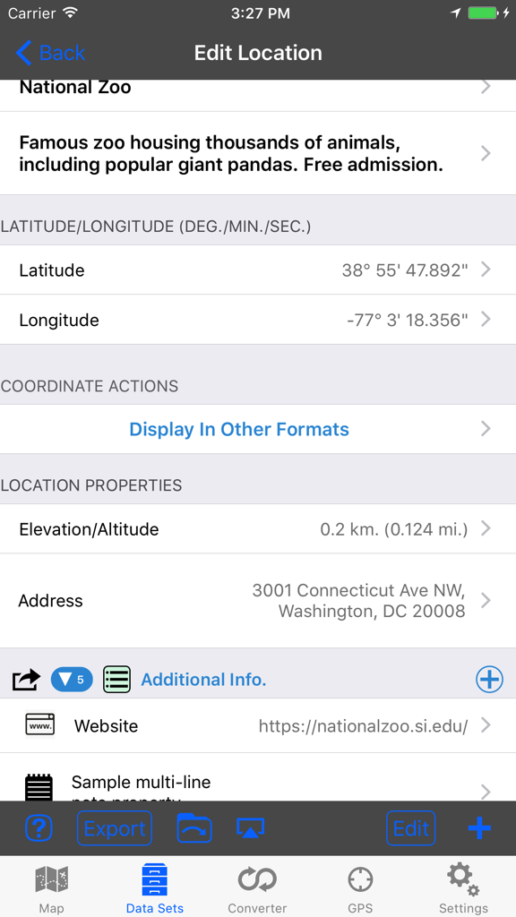
A screenshot of the GPS and Map Toolbox app showing detailed location information including coordinates, elevation, and address for a specific point.
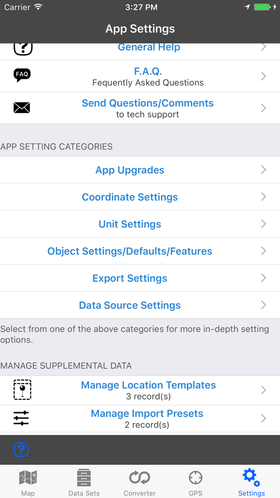
The settings menu for the GPS and Map Toolbox app displaying configuration categories like coordinate and unit settings.
Description
Download
More Like This
Apps with similar features and user experience

MilGPS
Cascode Labs Pty Ltd

SEAiq Pilot VPP
Sakhalin, LLC

Cartograph Maps 3
Harald Meyer

新知卫星地图-路线规划,高清地图导航
Chongqing Xinzhi Space Technology Co., Ltd.

Coordinates – GPS Converter
Mapnitude Company Limited

Mgrs & Utm Map
Vahid Cataltas

DeepStateMap
Heorhii Karpenko

Map Plus
Miocool Inc.

Compass 55. Map & GPS kit.
Kalimex-Consulting s.r.o.
This page is not an official page of the app or its developer, but an independent editorial publication created for informational and commentary purposes. Unless expressly stated otherwise, neither the app nor its developer is affiliated with, endorsed by, sponsored by, authorized by, or otherwise officially connected with MWM, Apple, Google Play, the app publisher, or the app's developer, and nothing on this page implies that the app was developed using MWM's services. Any trademarks, logos, screenshots, and other content remain the property of their respective owners.