このページはアプリまたはその開発者の公式ページではなく、情報提供および論評を目的として作成された独立した編集出版物です。明示的に別段の記載がない限り、アプリおよびその開発者は、MWM、Apple、Google Play、アプリのパブリッシャー、またはアプリの開発者と提携、承認、後援、認可、またはその他の公式的な関係はなく、このページのいかなる内容も、アプリがMWMのサービスを使用して開発されたことを意味するものではありません。すべての商標、ロゴ、スクリーンショット、その他のコンテンツはそれぞれの所有者の財産です。

Whympr | Ski, Hike, Climb
テクニカルなアスリートや安全を重視する探検家のための究極のオールインワン・コンパニオン。HD地形図、リアルタイムの雪崩情報、山岳エキスパートが厳選したプロトポを使って、次のスキー、ハイキング、クライミングの計画を立てましょう。
ダウンロード
237K+ユーザー評価
評価数
2K+開発元
カテゴリ
Health & Fitness対応言語
4最新バージョン
2.31.0サイズ
130.4 MBリリース日
2016年9月26日山のアドベンチャーをマスターする
テクニカルな山岳アスリートのためのオールインワン・ツールキット。プロ仕様の3Dマッピング、エキスパートによるルートガイド、リアルタイムの安全情報にアクセスして、自信を持って限界に挑戦しましょう。
高度な3D地形分析
すべての尾根やガリーをHD 3Dで可視化。斜度オーバーレイを使用してリスクを特定し、プロのように複雑な高山地形をナビゲートします。
プロトポ&エキスパートガイド
推測に頼るのはもう終わり。世界クラスの山岳ガイドが使用し、専門家が検証したプロ仕様のルート解説とトポを利用できます。
以下のスクリーンショットと説明は、アプリの公式ストアリスティングから直接取得されたものであり、アプリ開発者の所有物です。
アプリストア
スクリーンショット
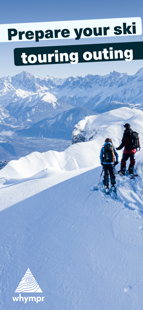
広大な高山風景を背景に、雪に覆われた山の尾根をスキーツーリングする2人のアスリート
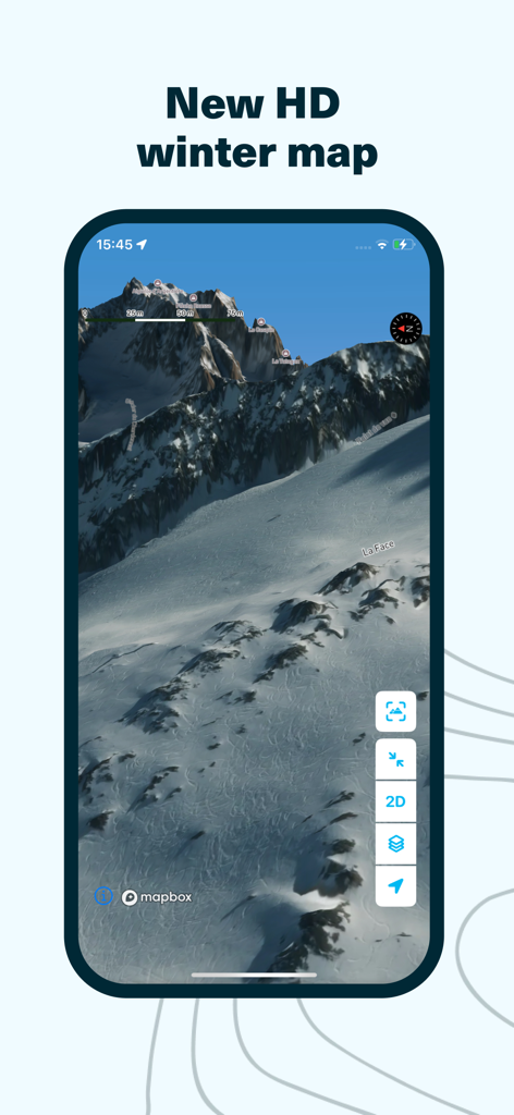
雪山の地形の3D高精細冬用サテライトマップを表示するWhymprアプリの画面
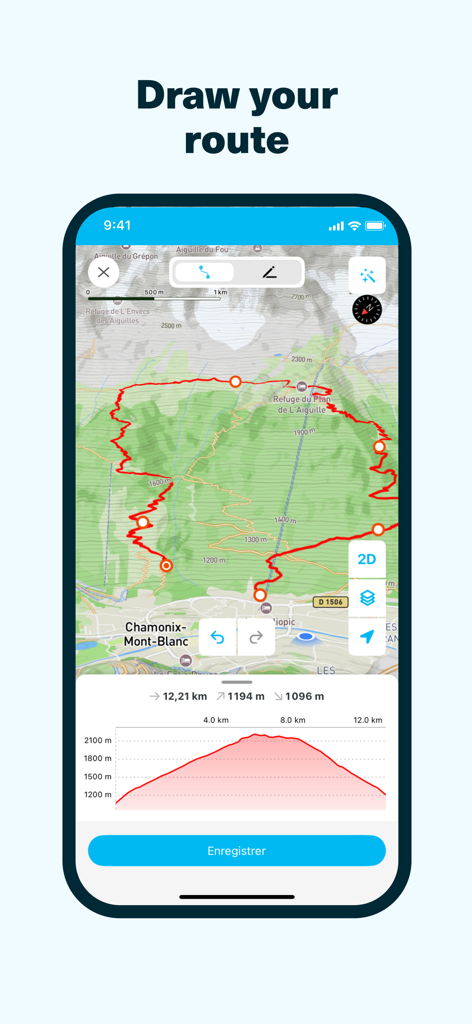
詳細な高低図とともに、地図上に描かれたカスタムの登山ルートを表示するWhymprアプリのインターフェース
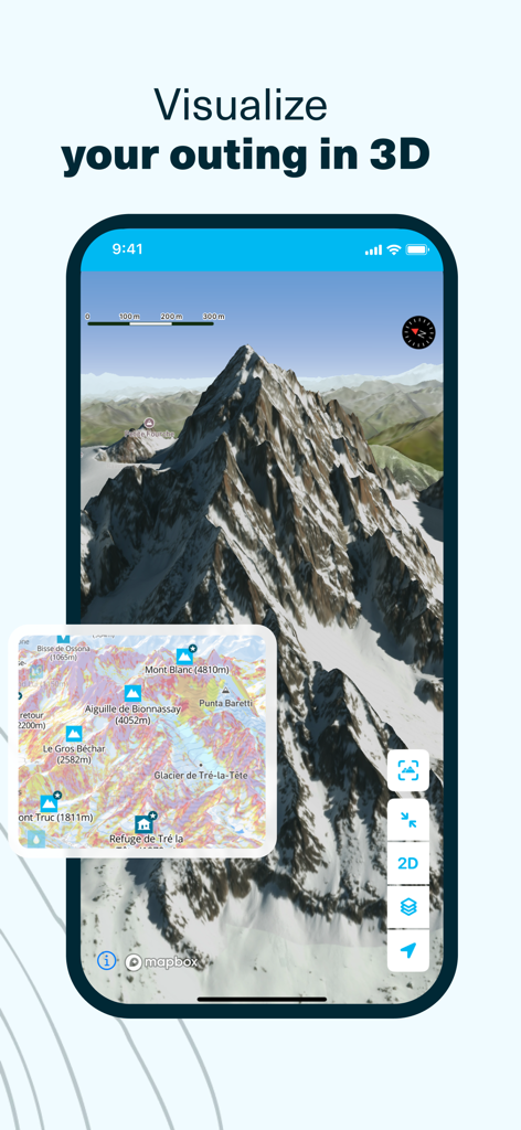
アウトドア計画用の3Dの山の風景と地形図を表示するWhymprアプリのインターフェース
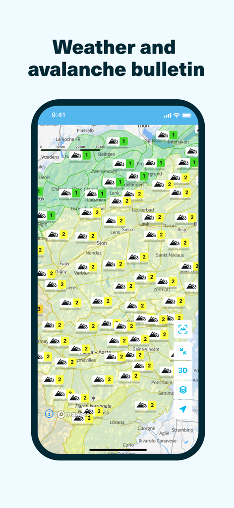
山の雪崩リスクレベルと気象情報を含む地形図を表示するWhymprアプリのインターフェース
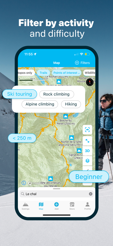
地形図上で山岳アクティビティと難易度レベルのフィルターを表示するWhymprアプリのインターフェース
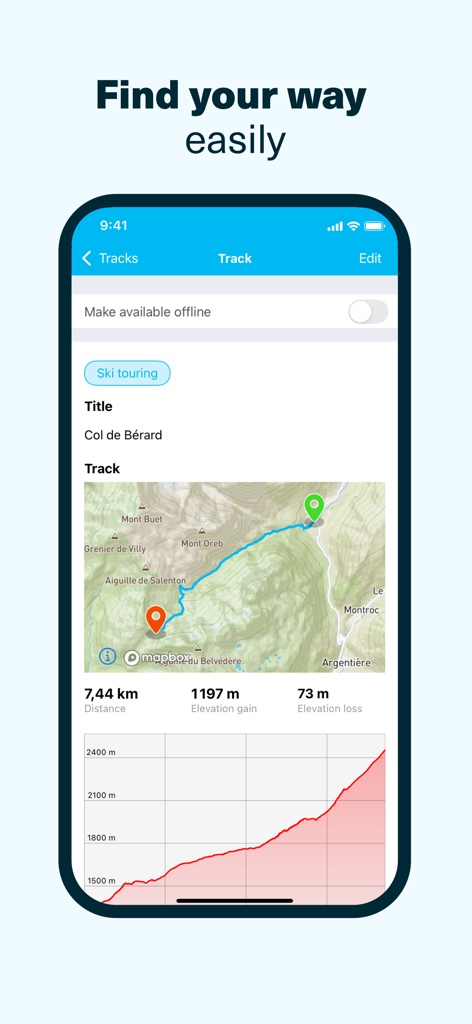
地図の距離と高低図を含むスキーツーリングのトラックを表示するWhymprアプリ
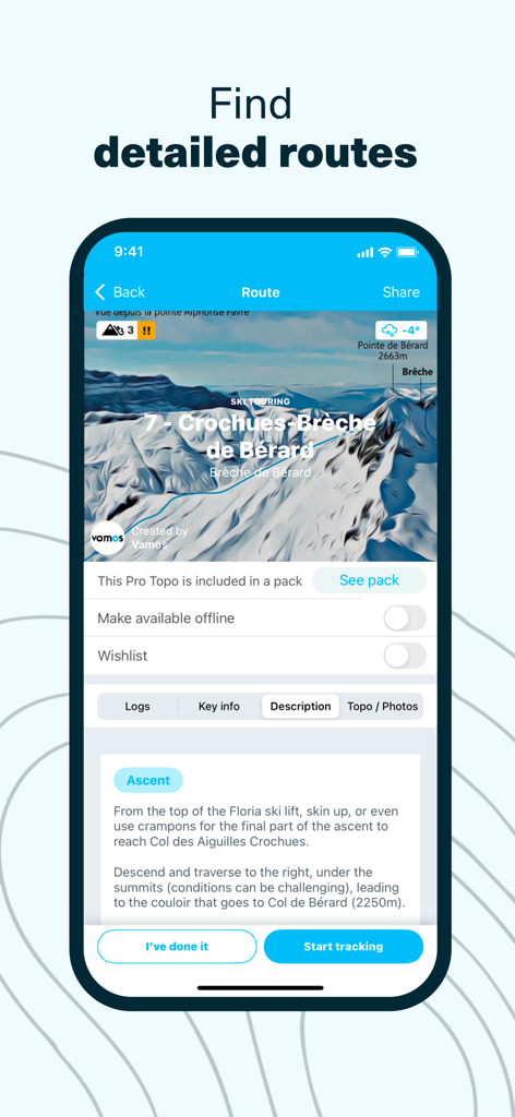
Whymprアプリ上のプロ仕様のトポ解説と専門的な山岳データを備えた詳細なスキーツーリングルート
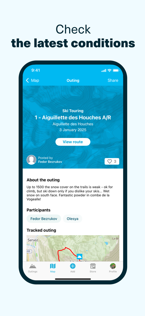
雪の状態とGPSトラックを含むコミュニティのスキーツーリングレポートを表示するWhymprアプリのインターフェース
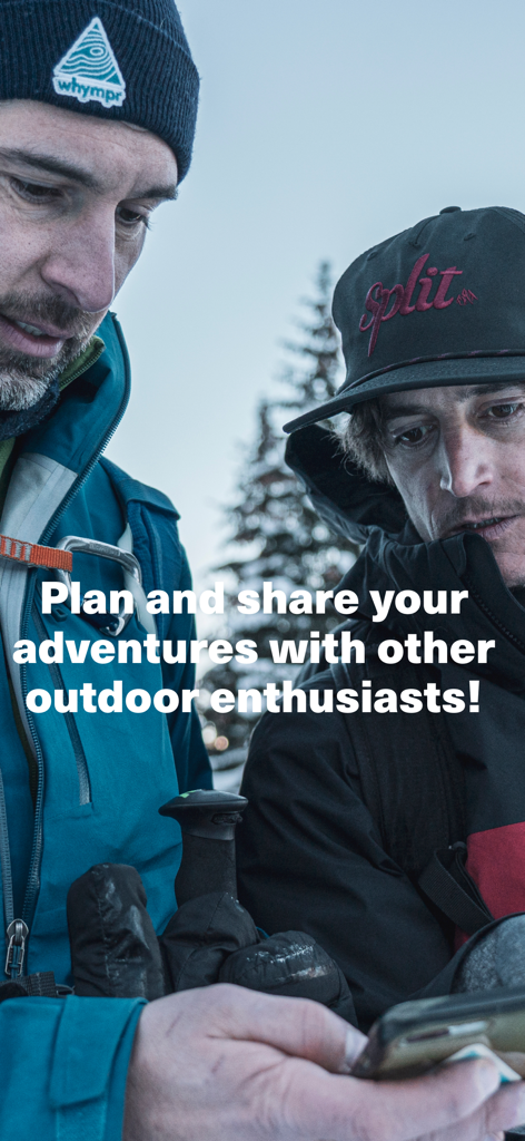
Whymprアプリを使ってアウトドアのアドベンチャーを計画し共有している2人の山岳アスリート
説明
Download
類似アプリ
似た機能とユーザー体験を持つアプリ

AllTrails: Hike, Bike & Run
AllTrails, Inc.

Pedometer++
Cross Forward Consulting, LLC

Organic Maps: Offline Map
Organic Maps OU

Gaia GPS: Mobile Trail Maps
Trailbehind, INC.

Offline hiking maps: Mapy.com
Seznam.cz a.s.

Hiking Map Poland
Mapa Turystyczna sp. z o.o.

MapOut
Valnova GmbH

FarOut: Offline GPS Trail Maps
Atlas Guides DE, Inc.

Norgeskart
Norgeskart AS
このページはアプリまたはその開発者の公式ページではなく、情報提供および論評を目的として作成された独立した編集出版物です。明示的に別段の記載がない限り、アプリおよびその開発者は、MWM、Apple、Google Play、アプリのパブリッシャー、またはアプリの開発者と提携、承認、後援、認可、またはその他の公式的な関係はなく、このページのいかなる内容も、アプリがMWMのサービスを使用して開発されたことを意味するものではありません。すべての商標、ロゴ、スクリーンショット、その他のコンテンツはそれぞれの所有者の財産です。