This page is not an official page of the app or its developer, but an independent editorial publication created for informational and commentary purposes. Unless expressly stated otherwise, neither the app nor its developer is affiliated with, endorsed by, sponsored by, authorized by, or otherwise officially connected with MWM, Apple, Google Play, the app publisher, or the app's developer, and nothing on this page implies that the app was developed using MWM's services. Any trademarks, logos, screenshots, and other content remain the property of their respective owners.

GPS Altimeter - Altitude & Map
Master the mountains with high-precision GPS and barometric sensors. Track your routes, monitor your stats, and share your achievements—all with a smart tool that works perfectly offline.
Downloads
342K+User Rating
Total Ratings
4K+Publisher
Category
SportsLocales
12Latest Version
3.3Size
24.1 MBFirst Released
Jul 21, 2016Engineered for the Peaks
Your all-in-one precision toolkit for hiking, skiing, and mountain biking—designed to perform in the toughest outdoor conditions.
Dual-Sensor Precision
Leverage both GPS and barometric sensors for high-accuracy elevation readings, whether you are online or deep in the backcountry.
Reliable Offline Tracking
Navigate with confidence in cell-service 'dead zones' using offline GPS coordinates, a smart compass, and real-time mapping.
The following screenshots and description are sourced directly from the app's official store listing and are the property of the app developer.
App Store
Screenshots
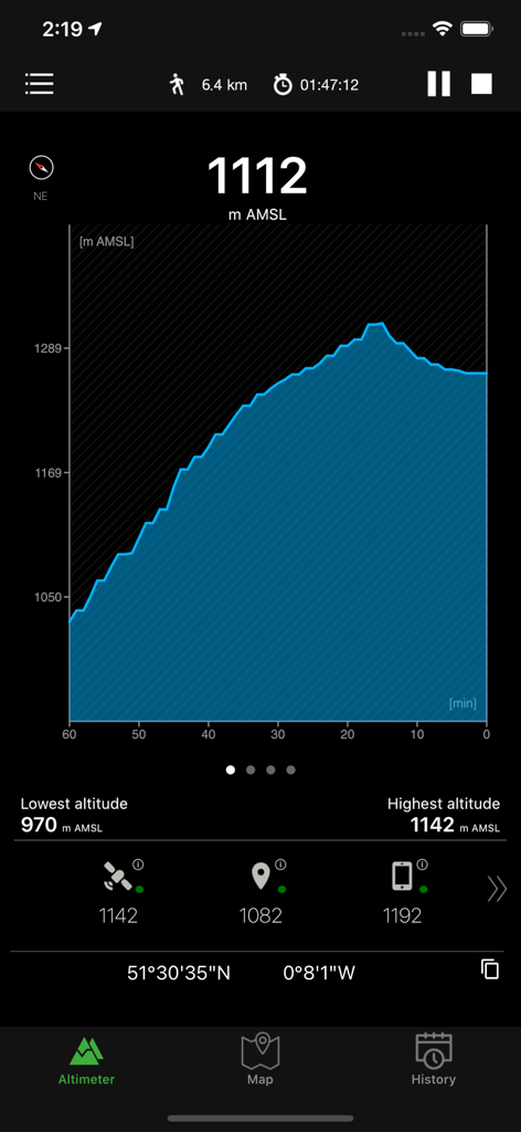
Interface of the GPS Altimeter app displaying a blue elevation chart, current altitude in meters, and GPS coordinates
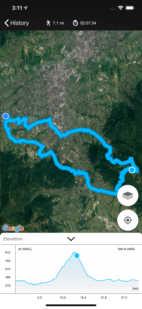
A screenshot of the GPS Altimeter app displaying a satellite map with a blue tracked route and an elevation profile chart at the bottom.
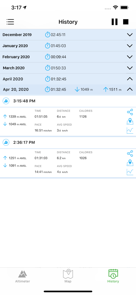
Activity history screen in the GPS Altimeter app showing recorded altitude, distance, and calories data.
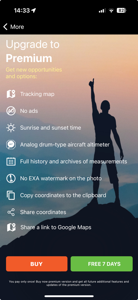
GPS Altimeter app premium upgrade screen listing tracking maps and sunrise times with a hiker silhouette
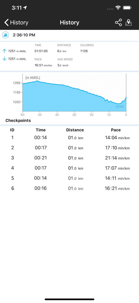
GPS Altimeter app history screen displaying an altitude chart and activity statistics like distance and calories.
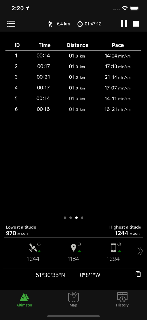
GPS Altimeter screen displaying activity stats distance pace and altitude
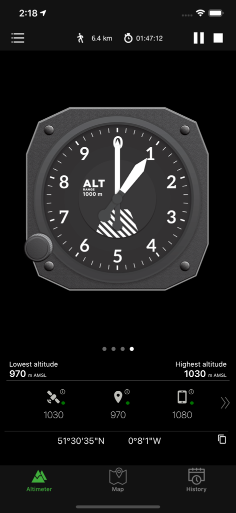
Analog aircraft style altimeter display on a mobile app with altitude and GPS coordinates
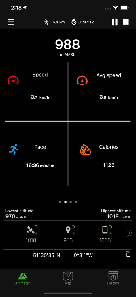
Real-time altitude and activity statistics on the GPS Altimeter app interface.
Description
Download
More Like This
Apps with similar features and user experience

经纬度指南针-测方位实时海拔天气相机
Guangzhou Duoyi Network Technology Co., Ltd.

My Altitude: GPS Altimeter
Enacti Ventures Private Limited

Compass & GPS
Seong Eon Kim

Compass App - Qibla finder
Simple Start Technologies

Compass & Coordinates Locator
ALVICOMP OU

Compass∞
Camera LLC(TX)

Compass - Professional
Peter Bohl

Altimeter GPS & Barometer
Andrea Terdich

Elevation - Altimeter Map
Mapnitude Company Limited
This page is not an official page of the app or its developer, but an independent editorial publication created for informational and commentary purposes. Unless expressly stated otherwise, neither the app nor its developer is affiliated with, endorsed by, sponsored by, authorized by, or otherwise officially connected with MWM, Apple, Google Play, the app publisher, or the app's developer, and nothing on this page implies that the app was developed using MWM's services. Any trademarks, logos, screenshots, and other content remain the property of their respective owners.