This page is not an official page of the app or its developer, but an independent editorial publication created for informational and commentary purposes. Unless expressly stated otherwise, neither the app nor its developer is affiliated with, endorsed by, sponsored by, authorized by, or otherwise officially connected with MWM, Apple, Google Play, the app publisher, or the app's developer, and nothing on this page implies that the app was developed using MWM's services. Any trademarks, logos, screenshots, and other content remain the property of their respective owners.

GPS Altitude-海拔表
Your ultimate digital dashboard for the great outdoors. Track real-time altitude, monitor barometric pressure, and share your summit achievements with custom watermarked photos.
Downloads
3M+User Rating
Total Ratings
39K+Publisher
Category
NavigationLocales
2Latest Version
3.9.1Size
55.4 MBFirst Released
Oct 27, 2017Conquer Every Peak with Confidence
A professional-grade instrument dashboard designed for hikers and mountaineers who demand precision and reliability in the wild.
Real-Time Altitude & Barometer
Track your exact elevation and monitor barometric pressure changes to stay one step ahead of mountain weather.
Digital Summit Trophies
Turn your photos into proof of achievement with custom watermarks showing your exact altitude and location coordinates.
The following screenshots and description are sourced directly from the app's official store listing and are the property of the app developer.
App Store
Screenshots
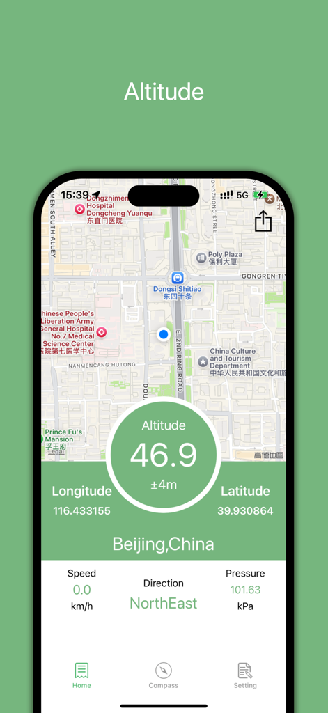
GPS Altitude app interface showing a map with real-time elevation, coordinates, and barometric pressure data
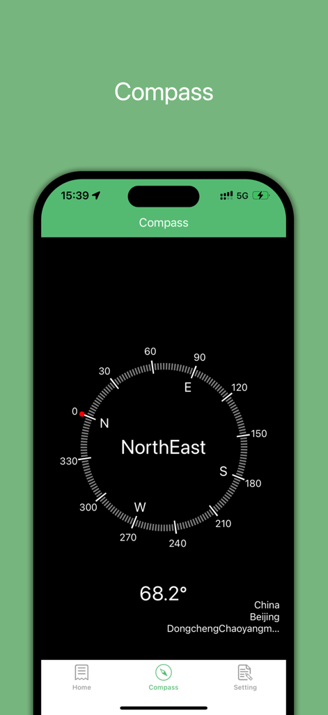
Digital compass interface in the GPS Altitude app showing Northeast direction and degree measurement
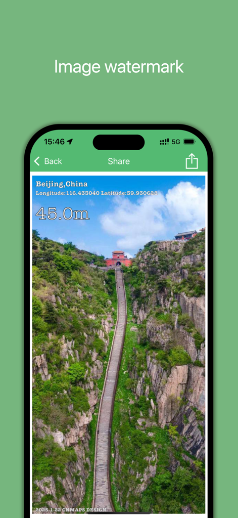
Mobile app screenshot showing a scenic mountain photo watermarked with GPS coordinates and altitude data for social sharing.
Description
Download
More Like This
Apps with similar features and user experience

Realtime Altimeter
Zhenlai Xia

Travel Camera & Compass
Ha Nguyen

compass-latitude and longitude
美霞 熊

Compass ×
DOUBLE U s.r.o.

Compass: GPS & Altimeter
Shanghai BRC Internet Technology Co., Ltd.

Travel Altimeter & Elevation
BranchenKing Ltd.

Compass - GPS positioning
嘉 罗

Compass360X-GPS Speedometer
卫豪 吴

指南针-GPS经纬度海拔定位
Chongqing Xinzhi Space Technology Co., Ltd.
This page is not an official page of the app or its developer, but an independent editorial publication created for informational and commentary purposes. Unless expressly stated otherwise, neither the app nor its developer is affiliated with, endorsed by, sponsored by, authorized by, or otherwise officially connected with MWM, Apple, Google Play, the app publisher, or the app's developer, and nothing on this page implies that the app was developed using MWM's services. Any trademarks, logos, screenshots, and other content remain the property of their respective owners.