This page is not an official page of the app or its developer, but an independent editorial publication created for informational and commentary purposes. Unless expressly stated otherwise, neither the app nor its developer is affiliated with, endorsed by, sponsored by, authorized by, or otherwise officially connected with MWM, Apple, Google Play, the app publisher, or the app's developer, and nothing on this page implies that the app was developed using MWM's services. Any trademarks, logos, screenshots, and other content remain the property of their respective owners.

Travel Altimeter & Elevation
Join over 1 million adventurers and travelers. Get pinpoint GPS accuracy, monitor barometric pressure, and share your high-altitude moments with stunning custom backgrounds.
Downloads
1M+User Rating
Total Ratings
166K+Publisher
Category
NavigationLocales
33Latest Version
6.14Size
97.5 MBFirst Released
Dec 14, 2011Master Every Mountain
The ultimate companion for high-altitude adventures and health-conscious travel, combining precision data with stunning visuals.
Pro-Grade Elevation Data
Access high-precision GPS altitude and topographical map values to navigate peaks and trails with absolute confidence.
Altitude Health Safety
Monitor real-time barometric pressure changes to manage altitude sensitivity and stay ahead of symptoms during your ascent.
The following screenshots and description are sourced directly from the app's official store listing and are the property of the app developer.
App Store
Screenshots
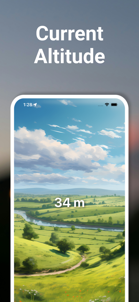
Travel Altimeter app displaying a current altitude of 34 meters over an illustrated green valley landscape
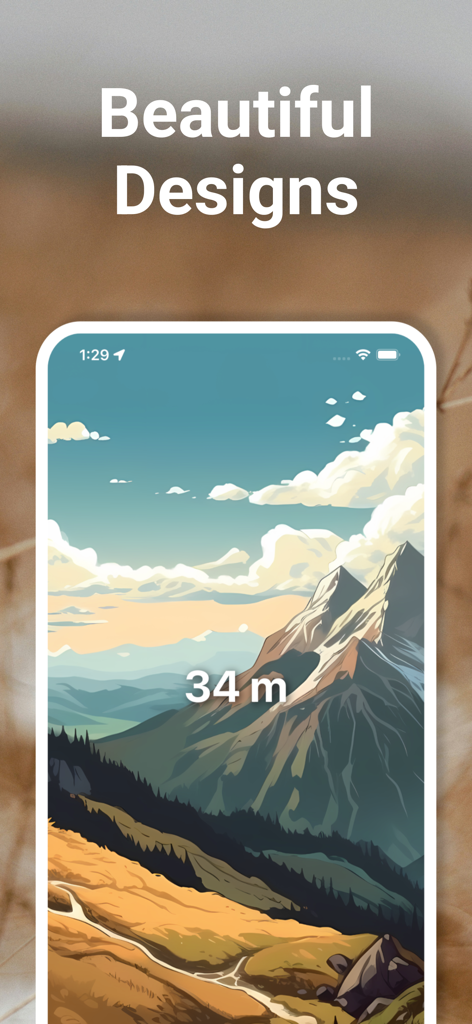
Screenshot of Travel Altimeter app displaying 34 meters on an illustrated mountain landscape background
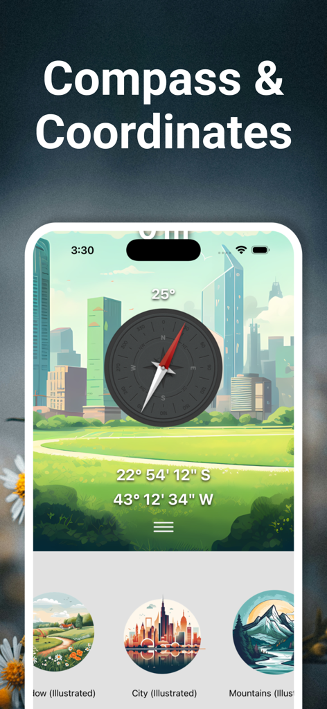
Interface of the Travel Altimeter app showing a digital compass and GPS coordinates over an illustrated city background.
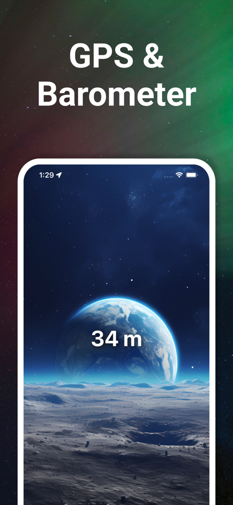
Travel Altimeter app interface showing 34 meters elevation with GPS and Barometer features on a space themed background.
Description
Download
More Like This
Apps with similar features and user experience

Realtime Altimeter
Zhenlai Xia

Travel Camera & Compass
Ha Nguyen

compass-latitude and longitude
美霞 熊

Compass ×
DOUBLE U s.r.o.

GPS Altitude-海拔表
祥琦 孔

Compass: GPS & Altimeter
Shanghai BRC Internet Technology Co., Ltd.

Compass - GPS positioning
嘉 罗

Compass360X-GPS Speedometer
卫豪 吴

指南针-GPS经纬度海拔定位
Chongqing Xinzhi Space Technology Co., Ltd.
This page is not an official page of the app or its developer, but an independent editorial publication created for informational and commentary purposes. Unless expressly stated otherwise, neither the app nor its developer is affiliated with, endorsed by, sponsored by, authorized by, or otherwise officially connected with MWM, Apple, Google Play, the app publisher, or the app's developer, and nothing on this page implies that the app was developed using MWM's services. Any trademarks, logos, screenshots, and other content remain the property of their respective owners.