This page is not an official page of the app or its developer, but an independent editorial publication created for informational and commentary purposes. Unless expressly stated otherwise, neither the app nor its developer is affiliated with, endorsed by, sponsored by, authorized by, or otherwise officially connected with MWM, Apple, Google Play, the app publisher, or the app's developer, and nothing on this page implies that the app was developed using MWM's services. Any trademarks, logos, screenshots, and other content remain the property of their respective owners.

Mapboard GIS
Eliminate the "double work" of digitizing paper notes. Mapboard GIS brings professional-grade topological consistency and powerful spatial tools to your iPad, designed specifically for the rigorous demands of geologic and environmental fieldwork.
Downloads
0User Rating
Total Ratings
0Publisher
Category
ProductivityLocales
1Latest Version
4.3.0Size
68.9 MBFirst Released
Mar 22, 2021Professional Grade Field Mapping
Bridge the gap between tactile field sketches and digital data integrity. Mapboard GIS brings intuitive Apple Pencil drawing to professional geospatial workflows.
Natural Pen-Based Workflow
Capture complex geological interpretations with the fluid feel of paper. Eliminate the "double work" of manual digitizing back at the office.
Smart Topology Solver
Maintain rigorous spatial accuracy with intuitive snapping and automatic unit filling. Your sketches are data-perfect from the first stroke.
The following screenshots and description are sourced directly from the app's official store listing and are the property of the app developer.
App Store
Screenshots
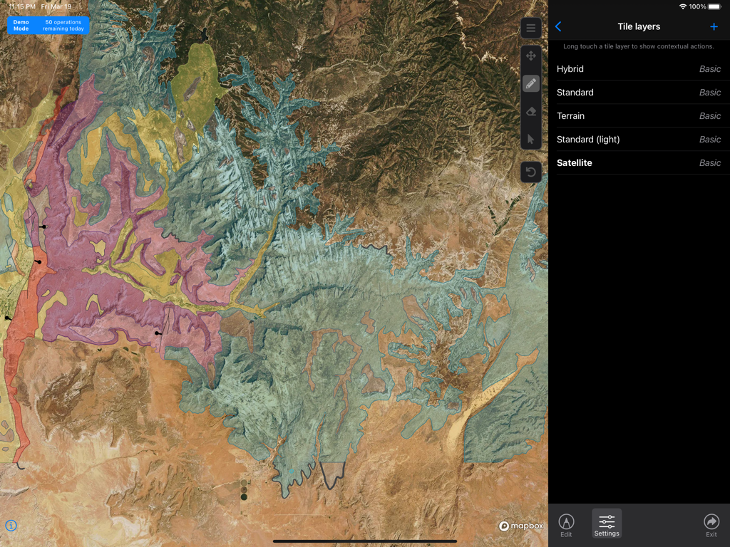
Mapboard GIS interface showing geological overlays on a satellite map and tile layer settings.
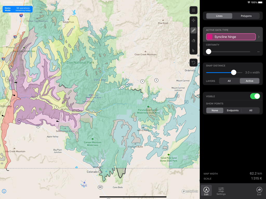
iPad interface of Mapboard GIS app showing a geological map of Zion National Park with colored layers and line editing tools
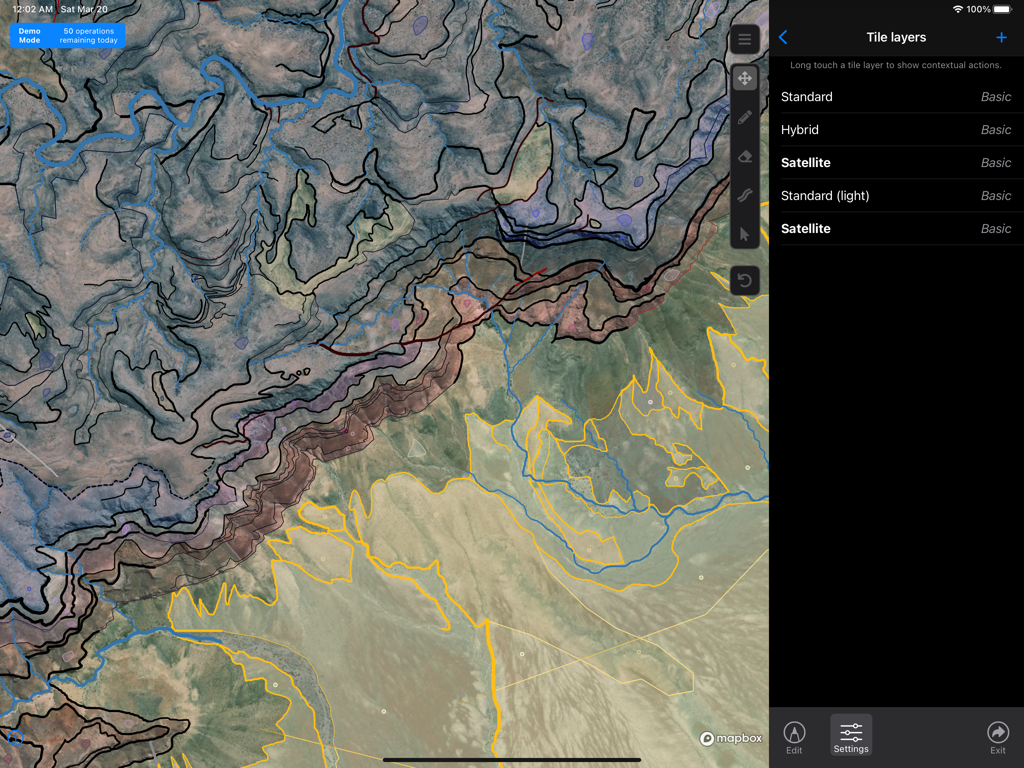
Geological mapping interface in Mapboard GIS showing tile layer settings and drawn topological lines over satellite imagery on an iPad
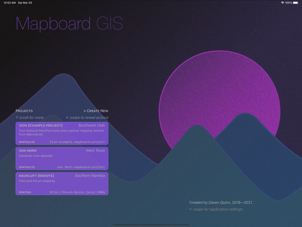
Mapboard GIS project selection screen showing a list of geological mapping projects against a mountain background
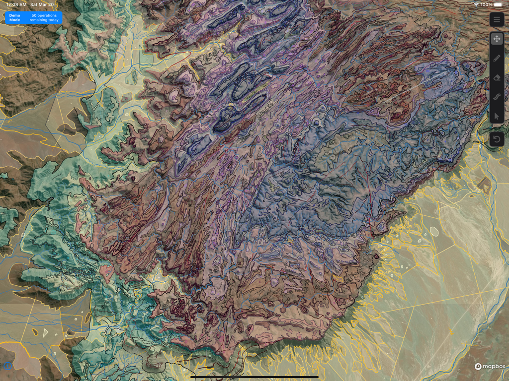
A detailed geological map with multiple color coded layers in Mapboard GIS
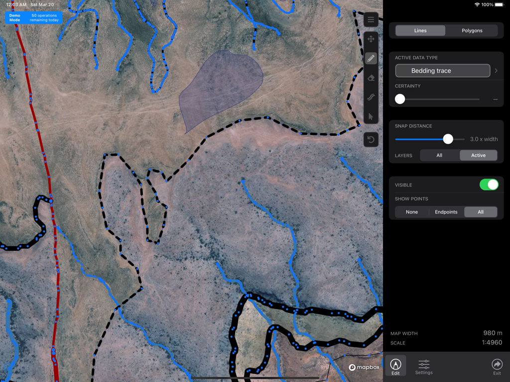
Mapboard GIS interface showing geological line drawing and bedding trace tools over a satellite map on iPad
Description
Download
More Like This
Top-ranked apps in the same category

ChatGPT
OpenAI OpCo, LLC

Google Gemini
Google LLC

Grok
X.AI Corporation

Gmail - Email by Google
Google LLC

千问 - 阿里最强大模型官方AI助手
Shanghai Zhixin Puhui Technology Co., Ltd.

Google Drive
Google LLC

Microsoft Authenticator
Microsoft Corporation

Google Sheets
Google LLC

Google Docs
Google LLC
This page is not an official page of the app or its developer, but an independent editorial publication created for informational and commentary purposes. Unless expressly stated otherwise, neither the app nor its developer is affiliated with, endorsed by, sponsored by, authorized by, or otherwise officially connected with MWM, Apple, Google Play, the app publisher, or the app's developer, and nothing on this page implies that the app was developed using MWM's services. Any trademarks, logos, screenshots, and other content remain the property of their respective owners.