This page is not an official page of the app or its developer, but an independent editorial publication created for informational and commentary purposes. Unless expressly stated otherwise, neither the app nor its developer is affiliated with, endorsed by, sponsored by, authorized by, or otherwise officially connected with MWM, Apple, Google Play, the app publisher, or the app's developer, and nothing on this page implies that the app was developed using MWM's services. Any trademarks, logos, screenshots, and other content remain the property of their respective owners.

Planimeter GPS Area Measure
The essential tool for farmers, contractors, and surveyors to accurately calculate acreage, map perimeters, and track distances directly from your mobile device.
Downloads
181K+User Rating
Total Ratings
900Publisher
Category
ProductivityLocales
1Latest Version
2.1.17Size
29.7 MBFirst Released
Jul 23, 2014Professional Land & Field Measurement
Accurately calculate area, distance, and perimeters for farming, construction, and real estate with professional-grade GPS tools tailored for efficiency in the field.
Real-Time GPS Surveying
Walk or drive the perimeter of any land parcel to instantly capture exact boundaries and acreage with high-precision tracking.
Remote Satellite Planning
Estimate roof areas for solar installations or plot landscape designs directly from high-resolution imagery without needing to be on-site.
The following screenshots and description are sourced directly from the app's official store listing and are the property of the app developer.
App Store
Screenshots
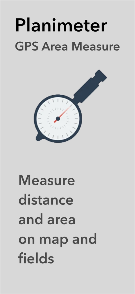
Planimeter GPS Area Measure app screen showing the logo and text for measuring distance and area on maps and fields
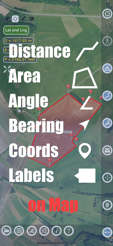
Planimeter app showing area distance and angle measurement features on a satellite map
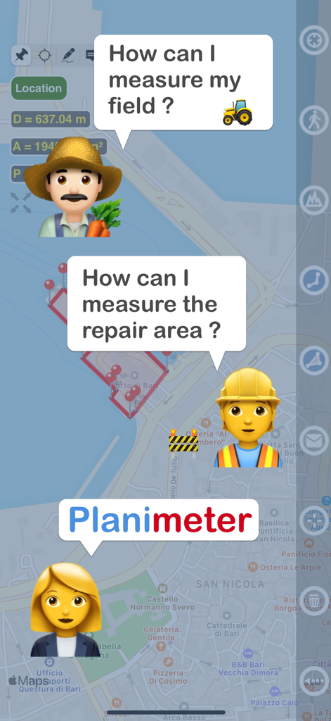
Graphic showing a farmer and a construction worker asking how to measure land and a repair area with the Planimeter app
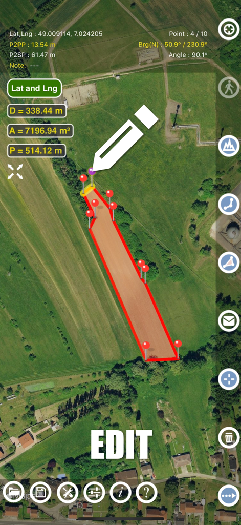
Planimeter app interface showing manual editing of land area measurements on a satellite map
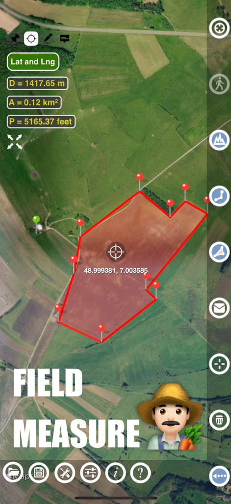
Planimeter app interface showing a farm field area and perimeter measurement on a satellite map
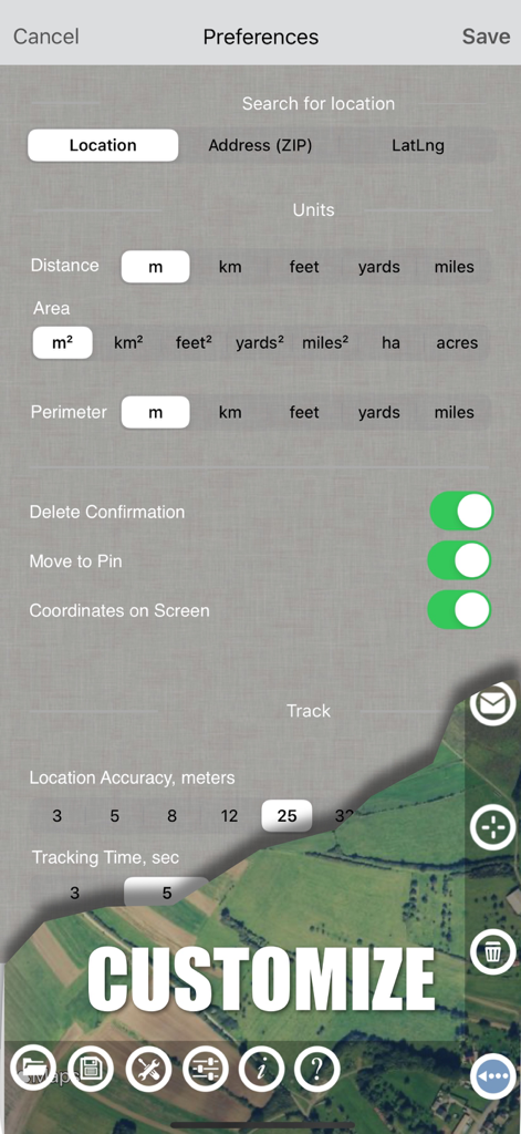
Planimeter app settings screen showing measurement unit options and GPS tracking preferences
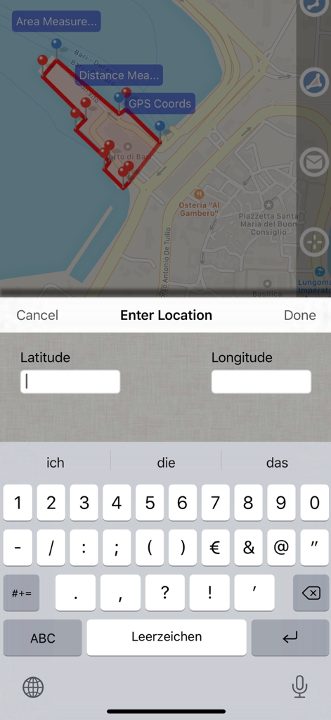
Screenshot of Planimeter GPS Area Measure app showing a map with measured area and a data entry screen for latitude and longitude coordinates.
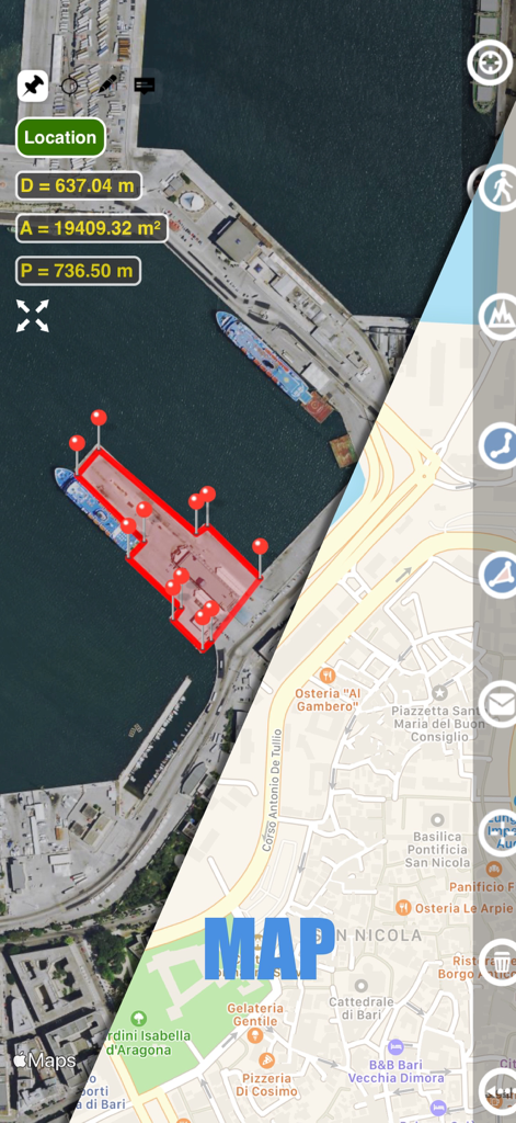
Planimeter app interface showing split screen with satellite and street map views displaying area and distance measurements of a port
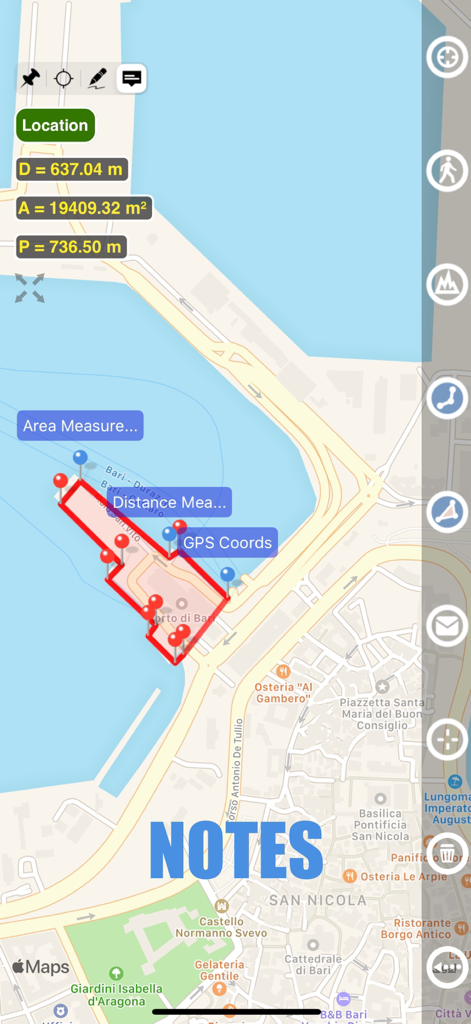
Map view showing area measurement and notes feature in Planimeter GPS app
Description
Download
More Like This
Top-ranked apps in the same category

ChatGPT
OpenAI OpCo, LLC

Google Gemini
Google LLC

Grok
X.AI Corporation

Gmail - Email by Google
Google LLC

千问 - 阿里最强大模型官方AI助手
Shanghai Zhixin Puhui Technology Co., Ltd.

Google Drive
Google LLC

Microsoft Authenticator
Microsoft Corporation

Google Sheets
Google LLC

Google Docs
Google LLC
This page is not an official page of the app or its developer, but an independent editorial publication created for informational and commentary purposes. Unless expressly stated otherwise, neither the app nor its developer is affiliated with, endorsed by, sponsored by, authorized by, or otherwise officially connected with MWM, Apple, Google Play, the app publisher, or the app's developer, and nothing on this page implies that the app was developed using MWM's services. Any trademarks, logos, screenshots, and other content remain the property of their respective owners.