このページはアプリまたはその開発者の公式ページではなく、情報提供および論評を目的として作成された独立した編集出版物です。明示的に別段の記載がない限り、アプリおよびその開発者は、MWM、Apple、Google Play、アプリのパブリッシャー、またはアプリの開発者と提携、承認、後援、認可、またはその他の公式的な関係はなく、このページのいかなる内容も、アプリがMWMのサービスを使用して開発されたことを意味するものではありません。すべての商標、ロゴ、スクリーンショット、その他のコンテンツはそれぞれの所有者の財産です。

SityTrail
公式USGS地形図、オフパス安全アラート、シームレスなApple Watch連携で、自信を持って探索しましょう。デスクトップでの綿密な計画から、トレイルでのハンズフリーナビゲーションまで、SityTrailは熱心な探検家にとって究極のツールです。
ダウンロード
167K+ユーザー評価
評価数
2K+開発元
カテゴリ
Travel対応言語
6最新バージョン
12.16.2サイズ
55.6 MBリリース日
2011年3月21日プロフェッショナルな精度でトレイルをマスターする
SityTrailは、ハイエンドの地形マッピングと高度な安全機能を組み合わせて、iPhoneとApple Watchを究極のアウトドアナビゲーションシステムに変えます。
公式USGS地形図
高解像度の地形データをオフラインでアクセス。携帯サービスがなくても、最も遠隔地の荒野をプロレベルの精度でナビゲートできます。
アクティブなオフパス保護
計画したルートから外れた瞬間に通知する、リアルタイムの振動アラートと音声指示で、自信を持って探索しましょう。
以下のスクリーンショットと説明は、アプリの公式ストアリスティングから直接取得されたものであり、アプリ開発者の所有物です。
アプリストア
スクリーンショット
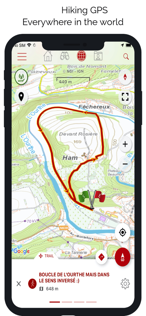
SityTrailアプリインターフェース。詳細な地形図に赤いハイキングトレイルのループが表示されています。
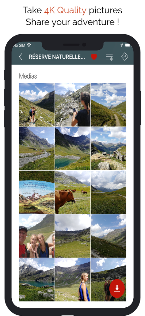
SityTrailアプリ画面。ハイキングや山の風景写真のコレクションを表示しています。
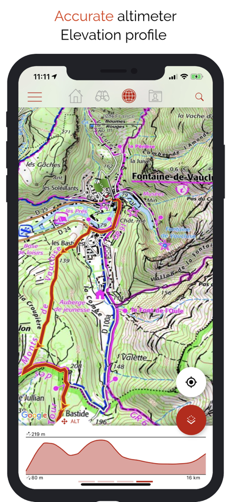
SityTrailアプリインターフェース。詳細な地形図とハイキングの標高プロファイルグラフを表示しています。
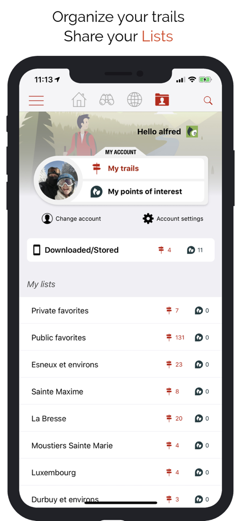
SityTrailアプリインターフェース。ユーザープロフィールと整理されたハイキングトレイルとPOIのリストを表示しています。

SityTrailアプリインターフェース。プレミアムトレイルカタログとコミュニティによってキュレーションされたアウトドアルートを表示しています。
説明
Download
類似アプリ
似た機能とユーザー体験を持つアプリ

AllTrails: Hike, Bike & Run
AllTrails, Inc.

Pedometer++
Cross Forward Consulting, LLC

Organic Maps: Offline Map
Organic Maps OU

Gaia GPS: Mobile Trail Maps
Trailbehind, INC.

Offline hiking maps: Mapy.com
Seznam.cz a.s.

Hiking Map Poland
Mapa Turystyczna sp. z o.o.

MapOut
Valnova GmbH

FarOut: Offline GPS Trail Maps
Atlas Guides DE, Inc.

Norgeskart
Norgeskart AS
このページはアプリまたはその開発者の公式ページではなく、情報提供および論評を目的として作成された独立した編集出版物です。明示的に別段の記載がない限り、アプリおよびその開発者は、MWM、Apple、Google Play、アプリのパブリッシャー、またはアプリの開発者と提携、承認、後援、認可、またはその他の公式的な関係はなく、このページのいかなる内容も、アプリがMWMのサービスを使用して開発されたことを意味するものではありません。すべての商標、ロゴ、スクリーンショット、その他のコンテンツはそれぞれの所有者の財産です。