This page is not an official page of the app or its developer, but an independent editorial publication created for informational and commentary purposes. Unless expressly stated otherwise, neither the app nor its developer is affiliated with, endorsed by, sponsored by, authorized by, or otherwise officially connected with MWM, Apple, Google Play, the app publisher, or the app's developer, and nothing on this page implies that the app was developed using MWM's services. Any trademarks, logos, screenshots, and other content remain the property of their respective owners.

Maps 3D PRO - Hike & Bike
Join over 1.7 million adventurers using offline NASA-grade terrain maps and professional GPS tracking to conquer every peak and trail.
Downloads
378K+User Rating
Total Ratings
100Publisher
Category
NavigationLocales
6Latest Version
6.8Size
25.2 MBFirst Released
Mar 25, 2011Master Every Terrain in Stunning 3D
Stop navigating with flat maps. Get a bird's-eye view of your next adventure with professional-grade 3D elevation and offline GPS tracking designed for the serious explorer.
Precision 3D Visualization
Visualize valleys, hills, and peaks using NASA terrain scans. Know the exact elevation and difficulty of your route before you even start.
Total Offline Reliability
Download worldwide map data before you head out. Navigate safely in the deepest backcountry with full GPS functionality and zero cell signal.
The following screenshots and description are sourced directly from the app's official store listing and are the property of the app developer.
App Store
Screenshots
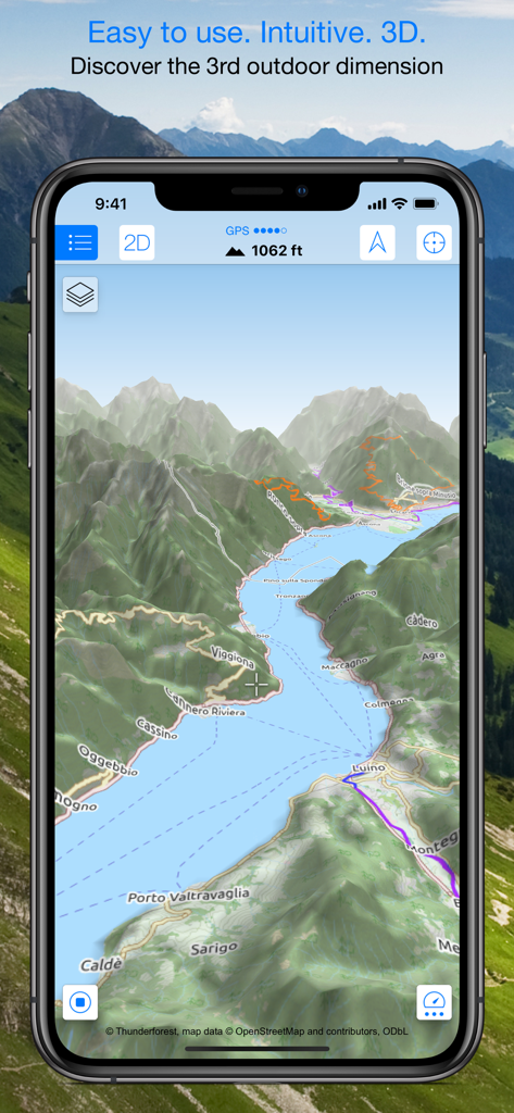
Smartphone displaying a 3D topographic map with mountains and hiking trails.
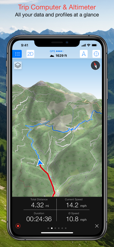
Maps 3D PRO interface showing a 3D topographic map with trip computer data including speed distance and altitude
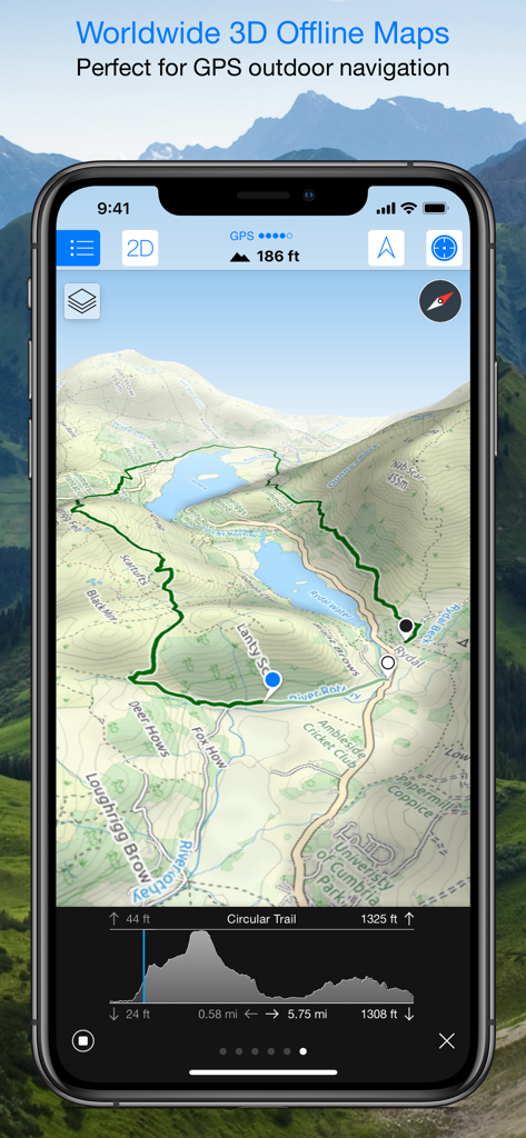
Maps 3D PRO app interface displaying a 3D topographic map with a hiking trail and elevation profile
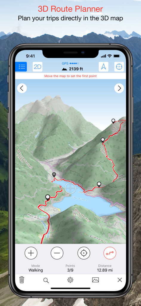
Maps 3D PRO app screenshot showing a hiking route planned on a 3D terrain map
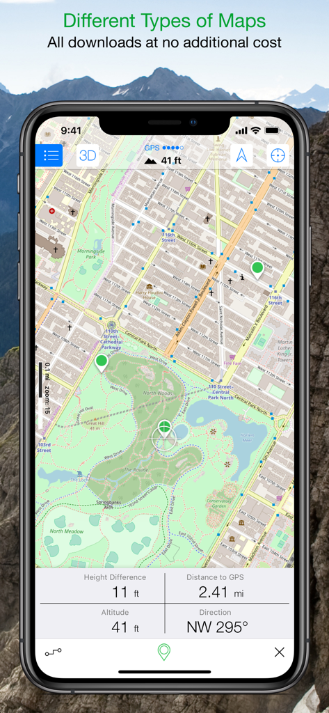
Maps 3D PRO app interface displaying a detailed park map with real time altitude and distance tracking data
Description
Download
More Like This
Apps with similar features and user experience

AllTrails: Hike, Bike & Run
AllTrails, Inc.

Pedometer++
Cross Forward Consulting, LLC

Organic Maps: Offline Map
Organic Maps OU

Gaia GPS: Mobile Trail Maps
Trailbehind, INC.

Offline hiking maps: Mapy.com
Seznam.cz a.s.

Hiking Map Poland
Mapa Turystyczna sp. z o.o.

MapOut
Valnova GmbH

FarOut: Offline GPS Trail Maps
Atlas Guides DE, Inc.

Norgeskart
Norgeskart AS
This page is not an official page of the app or its developer, but an independent editorial publication created for informational and commentary purposes. Unless expressly stated otherwise, neither the app nor its developer is affiliated with, endorsed by, sponsored by, authorized by, or otherwise officially connected with MWM, Apple, Google Play, the app publisher, or the app's developer, and nothing on this page implies that the app was developed using MWM's services. Any trademarks, logos, screenshots, and other content remain the property of their respective owners.