This page is not an official page of the app or its developer, but an independent editorial publication created for informational and commentary purposes. Unless expressly stated otherwise, neither the app nor its developer is affiliated with, endorsed by, sponsored by, authorized by, or otherwise officially connected with MWM, Apple, Google Play, the app publisher, or the app's developer, and nothing on this page implies that the app was developed using MWM's services. Any trademarks, logos, screenshots, and other content remain the property of their respective owners.

OruxMaps
Master every trail with advanced offline maps and professional GIS tools. No registration, no tracking, and total privacy for your backcountry data.
Downloads
15K+User Rating
Total Ratings
0Publisher
Category
SportsLocales
5Latest Version
0.0.12Size
115.7 MBFirst Released
Jun 18, 2025Pro-Level Navigation for the Self-Reliant Explorer
OruxMaps delivers professional GIS capabilities and total data privacy for those who venture where signal fails and standard apps quit.
Absolute Data Privacy
No accounts, no tracking, and no forced cloud syncing. Your GPS data belongs to you, stored locally and securely on your device.
Offline GIS & Mapping
Navigate the backcountry with high-detail offline maps, complex coordinate conversions, and intelligent route alerts in total dead zones.
The following screenshots and description are sourced directly from the app's official store listing and are the property of the app developer.
App Store
Screenshots
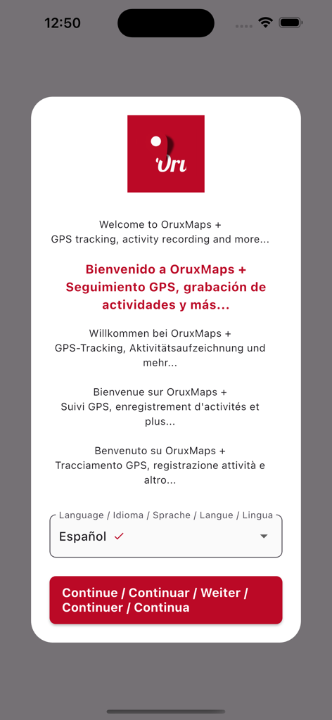
OruxMaps app welcome screen showing language selection options for GPS tracking and activity recording.
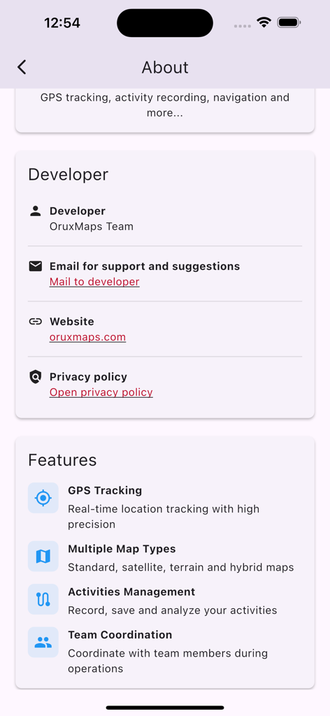
OruxMaps app screen displaying developer information and key features like GPS tracking and multiple map types
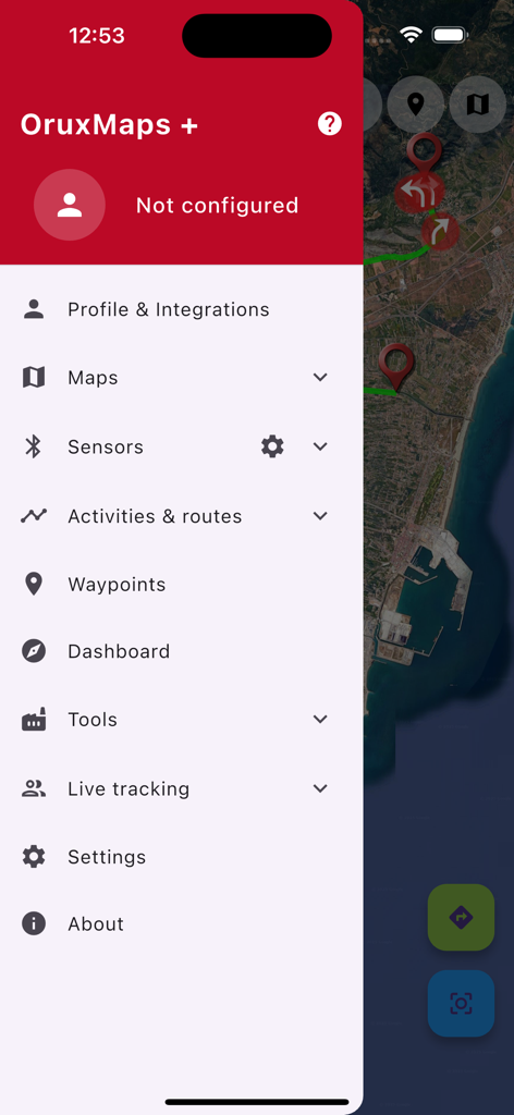
OruxMaps side menu with navigation and sensor settings over a satellite map
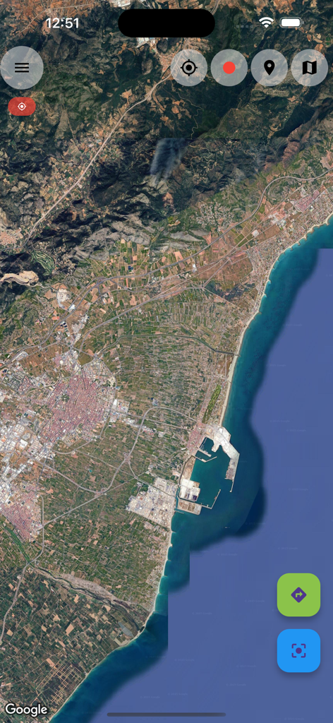
Satellite map view in the OruxMaps app showing a coastal region and mountains
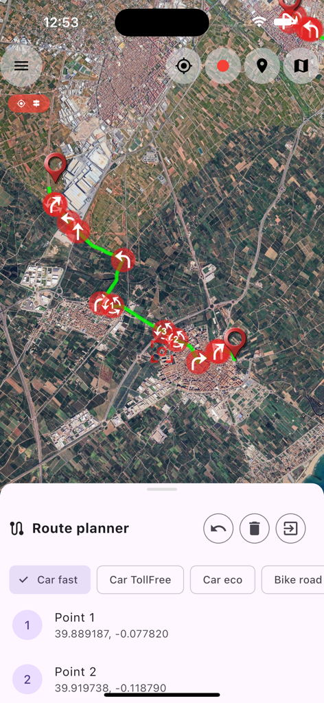
OruxMaps mobile app route planner showing a satellite map with navigation waypoints
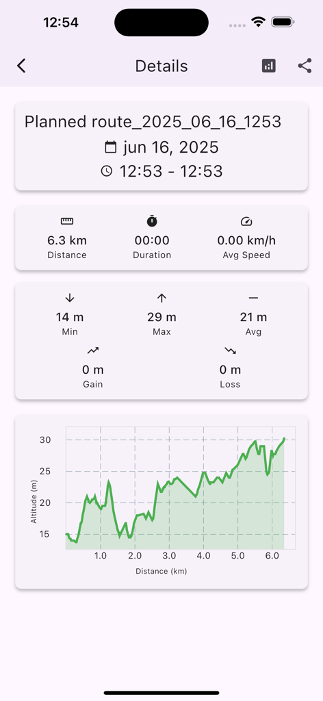
OruxMaps interface displaying route statistics and altitude graph
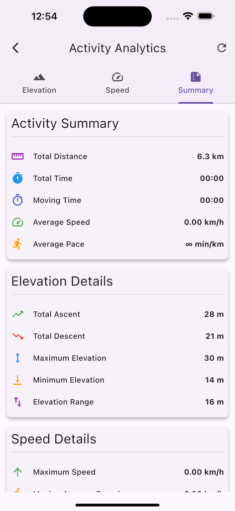
OruxMaps Activity Analytics screen showing elevation and distance summary
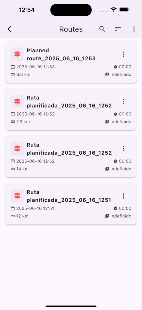
List of planned navigation routes in the OruxMaps app showing distances and dates
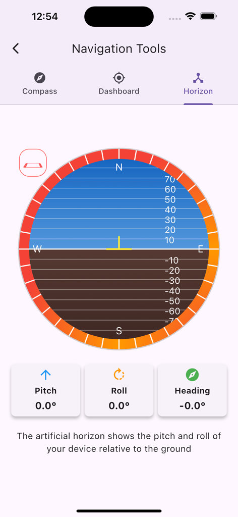
OruxMaps app artificial horizon interface displaying pitch roll and heading data for navigation
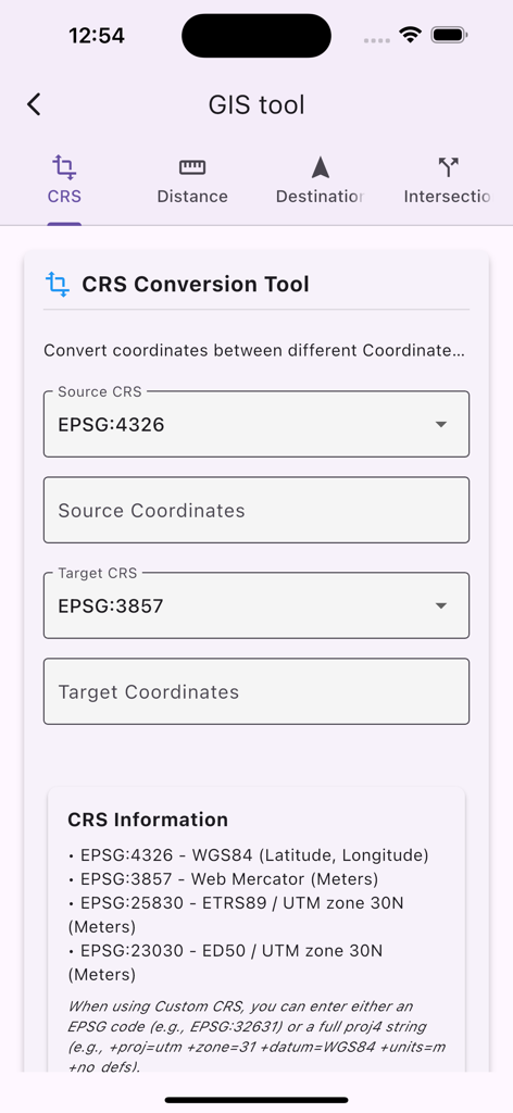
OruxMaps GIS tool interface for coordinate reference system conversion
Description
Download
More Like This
Apps with similar features and user experience

AllTrails: Hike, Bike & Run
AllTrails, Inc.

Pedometer++
Cross Forward Consulting, LLC

Organic Maps: Offline Map
Organic Maps OU

Gaia GPS: Mobile Trail Maps
Trailbehind, INC.

Offline hiking maps: Mapy.com
Seznam.cz a.s.

Hiking Map Poland
Mapa Turystyczna sp. z o.o.

MapOut
Valnova GmbH

FarOut: Offline GPS Trail Maps
Atlas Guides DE, Inc.

Norgeskart
Norgeskart AS
This page is not an official page of the app or its developer, but an independent editorial publication created for informational and commentary purposes. Unless expressly stated otherwise, neither the app nor its developer is affiliated with, endorsed by, sponsored by, authorized by, or otherwise officially connected with MWM, Apple, Google Play, the app publisher, or the app's developer, and nothing on this page implies that the app was developed using MWM's services. Any trademarks, logos, screenshots, and other content remain the property of their respective owners.